State Land Two-Track
- 1.0 mi
- round trip
- 116 ft
- climb
- 753 ft
- high point
- Out and back
- route
- Apr, Jun–Oct
- best months
State Land Two-Track is a short, easy out-and-back hike in Tuscola State Game Area in southern Michigan, managed by State Fish and Wildlife. The route is about 1.9 miles long, with a total elevation gain of 11 feet, so it's a gentle walk that stays nearly flat from start to finish. The trail's high point is 753 feet, and the low point is 735 feet, with the steepest stretch coming at about 0.56 miles in, where the grade reaches 4 percent. That makes it a comfortable choice for a quick outing rather than a climb. Late spring and early fall are the most comfortable times to go. Typical averages from a nearby weather station in Caro show May highs around 68°F and September highs around 73°F, with July the warmest month at about 82°F. The closest town is Caro, about 3 miles away. Within Tuscola State Game Area, the surrounding land offers more to explore, and the Caro wastewater treatment plant weather station sits about 3 miles off.
- Nearby · Ridge Trail · Polly Ann Trail · Flint River Trail
Best time to go · Apr, Jun–Oct
Best time to visit State Land Two-Track
Best months: April and June–October. Best months have typical highs of 55–85 °F, lows of 30 °F or warmer (32 °F where the station doesn't record snow), at most one snowy day and no more than 12 wet days.
Jan
29° / 15°
13 wet
Feb
31° / 15°
10 wet
Mar
42° / 23°
10 wet
Apr
55° / 33°
12 wet
May
68° / 45°
13 wet
Jun
78° / 55°
11 wet
Jul
82° / 60°
11 wet
Aug
80° / 57°
10 wet
Sep
73° / 50°
10 wet
Oct
60° / 40°
12 wet
Nov
46° / 30°
12 wet
Dec
35° / 22°
13 wet
Typical high / low (°F) and days with rain or snow, 1991–2020. Measured at Caro Wwtp, MI, 3.1 mi away at 690 ft. This station doesn't record snowfall. Source: NOAA NCEI U.S. Climate Normals 1991–2020.
Keep exploring — more trails worth the drive
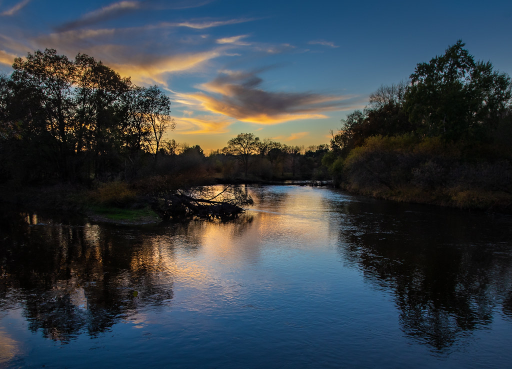 Photo: Christian Collins, CC BY-SA 2.0 (via Flickr)
Ridge Trail
~1h 21m drive
Easy 0.80-mile loop trail in Michigan.
HIKE
Polly Ann Trail
~56 min drive
A 29-mile point-to-point Michigan trail through diverse woodland and wetland terrain.
HIKE
Flint River Trail
~58 min drive
Easy out-and-back walk along the Flint River in Michigan.
 Photo: Christian Collins, CC BY-SA 2.0 (via Flickr)
Wood Duck Trail
~1h 21m drive
Short point-to-point wetland trail perfect for birdwatching and casual nature walks.
HIKE
Wadams to Avoca Trail
~1h 14m drive
12.39-mile point-to-point trail in Michigan with 892 ft gain and 1,028 ft loss.
HIKE
Orange
~1h 19m drive
Easy 3.52-mile out-and-back trail in Orange, Michigan.
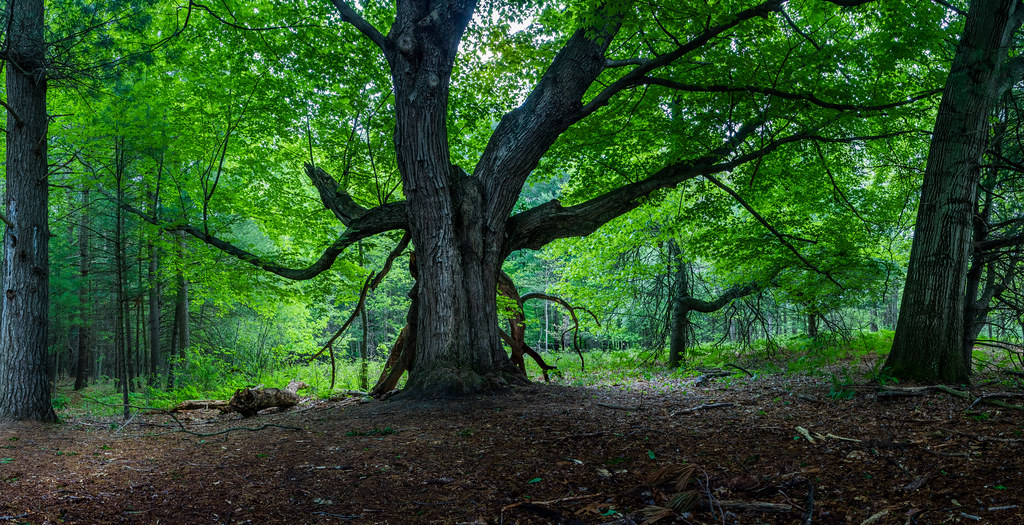 Photo: Christian Collins, CC BY-SA 2.0 (via Flickr)
Wetlands Trail
~1h 22m drive
Easy wetland loop trail ideal for wildlife viewing and nature walks.
HIKE
Bald Mountain-South Unit Trails
~1h 24m drive
6.62-mile point-to-point trail through Bald Mountain's south unit.
 Photo: Christian Collins, CC BY-SA 2.0 (via Flickr)
Field Trail
~1h 22m drive
Easy one-mile loop through Michigan fields.
Photo: Christian Collins, CC BY-SA 2.0 (via Flickr)Arboretum Trail
~1h 22m drive
Short point-to-point walk through Michigan arboretum gardens.
Map and trail data © OpenStreetMap contributors
