Southern Trail
- 0.6 mi
- round trip
- 44 ft
- climb
- 664 ft
- high point
- Out and back
- route
- May–Aug
- best months
Southern Trail is an easy, short out-and-back hike in Michigan's Marquette area, about a mile from the community of Sand River. The route is only about a mile long, with a total climb of about 40 feet to a high point of 664 feet, so it works well as a quick outing or a stop between longer walks in the area. Summer is the most comfortable time to go. Typical averages from the nearby Marquette weather station show July highs around 75°F with lows near 58°F, while winter brings highs in the low 20s and frequent snow days from December through February. The trip takes about half an hour, and the Northern Trail lies just 0.3 miles away for an easy extension. A little farther out are the North Country Trail at about 5 miles and the Holly Greer Shoreline Bikepath at about 7 miles.
- Northern TrailHiking0.3 mi
- PrivateHiking4.9 mi
- North Country TrailHiking5.3 mi
- North Country Trail_Iron Belle TrailHiking6.5 mi
- Holly Greer Shoreline BikepathHiking7.2 mi
- Rock River Falls HikeHiking7.5 mi
- Rock RiverCanoeing9.1 mi
- Chocolay RiverCanoeing9.1 mi
Source: Roamze catalog (indexable pages within 10 miles, PostGIS distance)
 Iron Ore Heritage TrailHiking · ~22 min drivePhoto: savethewildup, CC BY-SA 2.0 (via Flickr)
 Autrain Songbird InterpHiking · ~24 min drivePhoto: Joe Passe, CC BY-SA 2.0 (via Flickr)
 Little Presque Isle/Harlow Lake TrailsHiking · ~35 min drivePhoto: On the White Line, CC BY 2.0 (via Flickr)
- North Country Trail_Iron Belle TrailHiking · ~11 min drive
 Northern Mich UniversityHiking · ~31 min drivePhoto: eoz_15, CC BY 2.0 (via Flickr)
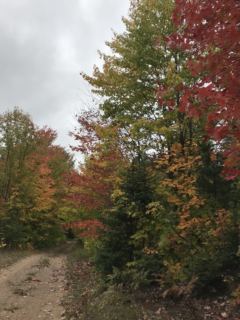 Coalwood Grade ATVHiking · ~35 min drivePhoto: usfs_Eastern_Region, Public Domain Mark (via Flickr)
- North Country National Scenic TrailHiking · ~23 min drive
 Valley Spur-Cedar StreakHiking · ~35 min drivePhoto: usfs_Eastern_Region, Public Domain Mark (via Flickr)
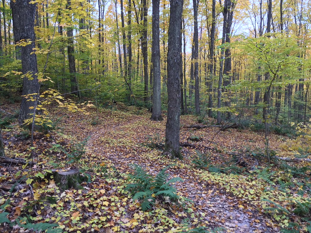 VALLEY SPUR SKI LOOP YHiking · ~35 min drivePhoto: usfs_Eastern_Region, Public Domain Mark (via Flickr)
- Valley Spur Bike - Just BeechyHiking · ~35 min drive
Best time to visit Southern Trail
Best months: May–August. Best months have typical highs of 55–85 °F, lows of 30 °F or warmer (32 °F where the station doesn't record snow), at most one snowy day and no more than 12 wet days.
Jan
25° / 12°
17 wet · 17 snow
Feb
27° / 12°
13 wet · 13 snow
Mar
35° / 21°
11 wet · 9 snow
Apr
46° / 31°
10 wet · 4 snow
May
59° / 41°
12 wet
Jun
68° / 50°
12 wet
Jul
75° / 58°
11 wet
Aug
74° / 58°
11 wet
Sep
67° / 52°
13 wet
Oct
54° / 40°
14 wet · 1 snow
Nov
41° / 29°
14 wet · 7 snow
Dec
30° / 19°
15 wet · 13 snow
Typical high / low (°F) and days with rain or snow, 1991–2020. Measured at Marquette, MI, 14.2 mi away at 665 ft. Source: NOAA NCEI U.S. Climate Normals 1991–2020.
Map and trail data © OpenStreetMap contributors
