Peninsula Point Trail
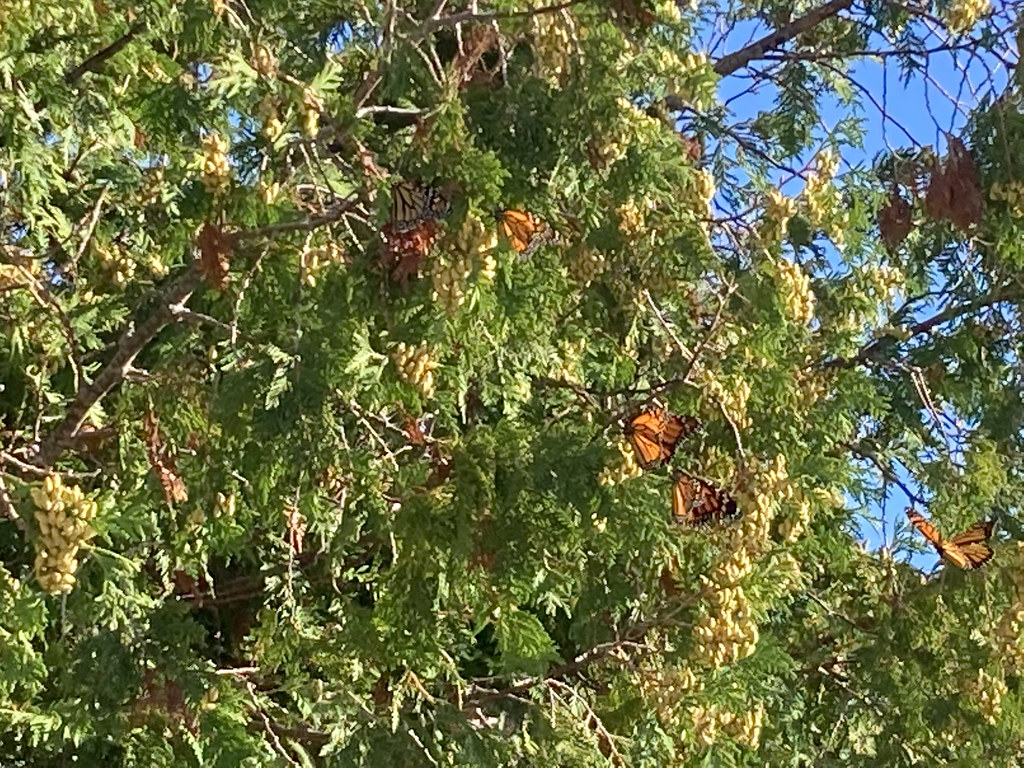 Photo: usfs_Eastern_Region, Public Domain Mark (via Flickr)
- 2.0 mi
- round trip
- 85 ft
- climb
- 594 ft
- high point
- Out and back
- route
- May–Oct
- best months
Is Peninsula Point Trail open right now?
Closure in the area
There's a closure order in Hiawatha National Forest. It doesn't name Peninsula Point Trail, so check the source for the area it covers (2 listed).
Brevoort Lake Autumn Drawdown
Agency closure covering Hiawatha National Forest · USFS · Hiawatha National Forest
Haymeadow Trail and Bridge Closed
Agency closure covering Hiawatha National Forest · USFS · Hiawatha National Forest
Restricting Public Entry to Stonington Quarry
Agency alert covering Hiawatha National Forest · USFS · Hiawatha National Forest
As of · Source: USFS · Hiawatha National Forest. Agencies don't list every closure — check before you go.
Peninsula Point Trail is a short, easy hike in Michigan's Hiawatha National Forest, within the Rapid River Ranger District. The trailhead is named Peninsula Point Trailhead, and the route is an out-and-back that runs about 2 miles round trip. It is open from May 1 through October 31, so plan your visit for late spring through early fall. The trail is rated easy, with no elevation gain to speak of. The high point is about 594 feet, and the low point is about 583 feet, so the whole trip stays nearly flat. The steepest stretch comes at about 0.31 miles in, with a grade of about 2 percent. The surface is natural, and the trail is open to bikes. Summer is the most comfortable time to go. Typical averages from a nearby weather station in Escanaba show July highs around 77°F with lows near 56°F, while September cools to highs around 68°F. The trail is not accessible.
 Bayshore TrailHiking · ~20 min drivePhoto: San906, CC0 (via Wikimedia Commons)
 Pine Marten RunHiking · ~1h 7m drivePhoto: usfs_Eastern_Region, Public Domain Mark (via Flickr)
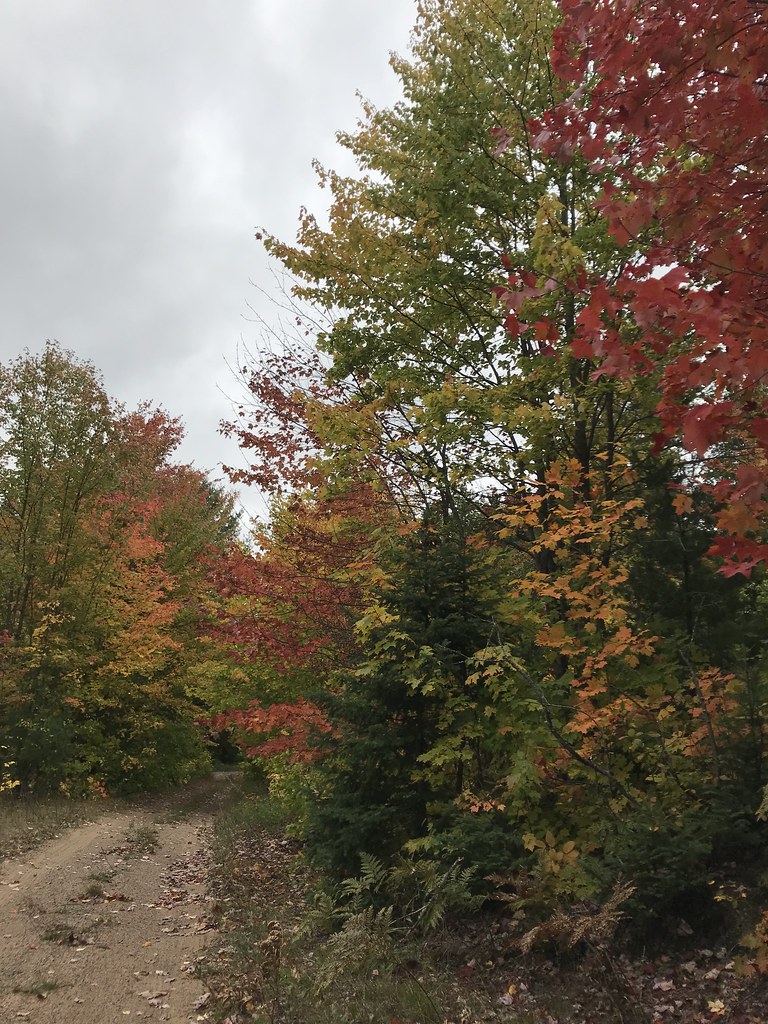 Coalwood Grade ATVHiking · ~1h 21m drivePhoto: usfs_Eastern_Region, Public Domain Mark (via Flickr)
 Europe Bay TrailHiking · ~52 min drivePhoto: Aaron Volkening, CC BY 2.0 (via Flickr)
 Brunos RunHiking · ~1h 12m drivePhoto: usfs_Eastern_Region, Public Domain Mark (via Flickr)
- Van Winkle TrailHiking · ~56 min drive
 UplandHiking · ~52 min drivePhoto: Timothy Shields, CC BY 3.0 (via Wikimedia Commons)
- Whitefish River Canoe West BrHiking · ~55 min drive
- Upper 18 Mile Lake Loop Bdn-GiHiking · ~57 min drive
- MonarchHiking · ~53 min drivePhoto: Timothy Shields, CC BY 3.0 (via Wikimedia Commons)
Best time to visit Peninsula Point Trail
Best months: May–October. Best months have typical highs of 55–85 °F, lows of 30 °F or warmer (32 °F where the station doesn't record snow), at most one snowy day and no more than 12 wet days.
Jan
26° / 8°
9 wet
Feb
28° / 8°
7 wet
Mar
37° / 18°
8 wet
Apr
47° / 29°
9 wet
May
60° / 41°
12 wet
Jun
71° / 51°
12 wet
Jul
77° / 56°
11 wet
Aug
76° / 55°
10 wet
Sep
68° / 49°
11 wet
Oct
55° / 37°
12 wet
Nov
42° / 27°
9 wet
Dec
31° / 16°
9 wet
Typical high / low (°F) and days with rain or snow, 1991–2020. Measured at Escanaba, MI, 6.7 mi away at 590 ft. This station doesn't record snowfall. Source: NOAA NCEI U.S. Climate Normals 1991–2020.
