Muncie Lakes Pathway
- 2.3 mi
- round trip
- 502 ft
- climb
- 951 ft
- high point
- Out and back
- route
- May–Oct
- best months
Muncie Lakes Pathway is an easy out-and-back hike in Michigan, about 1.8 miles from the community of Jacks Landing. The route is roughly 4.6 miles long, with a total elevation gain of about 502 feet, and it reaches a high point of 951 feet. The climb is gentle, with the steepest stretch at about 1.9 miles in, where the grade reaches about 9 percent. Summer is the most comfortable time to go. Typical averages from a nearby weather station show July highs around 81°F with lows near 55°F, while winter highs stay in the 20s. The trip takes about two hours. The Muncie Lake Pathway #5-#6 and #6-#7 hikes both lie about a mile away, and the Boardman River, a canoeing spot, is about 6 miles off.
- Muncie Lake Pathway #5-#6Hiking1 mi
- Muncie Lake Pathway #6-#7Hiking1 mi
 Boardman RiverCanoeingPhoto: Iulus Ascanius at English Wikipedia, Public domain (via Wikimedia Commons)6.1 mi
Source: Roamze catalog (indexable pages within 10 miles, PostGIS distance)
 Man. RV- Suspension Brdg SpurHiking · ~50 min drivePhoto: usfs_Eastern_Region, Public Domain Mark (via Flickr)
 Alligator Hill Trail East LoopHiking · ~56 min drivePhoto: Jim Sorbie, CC BY 2.0 (via Flickr)
- Mackenzie Mountain BikeHiking · ~57 min drive
 Valley View TrailHiking · ~53 min drivePhoto: Jim Sorbie, CC BY 2.0 (via Flickr)
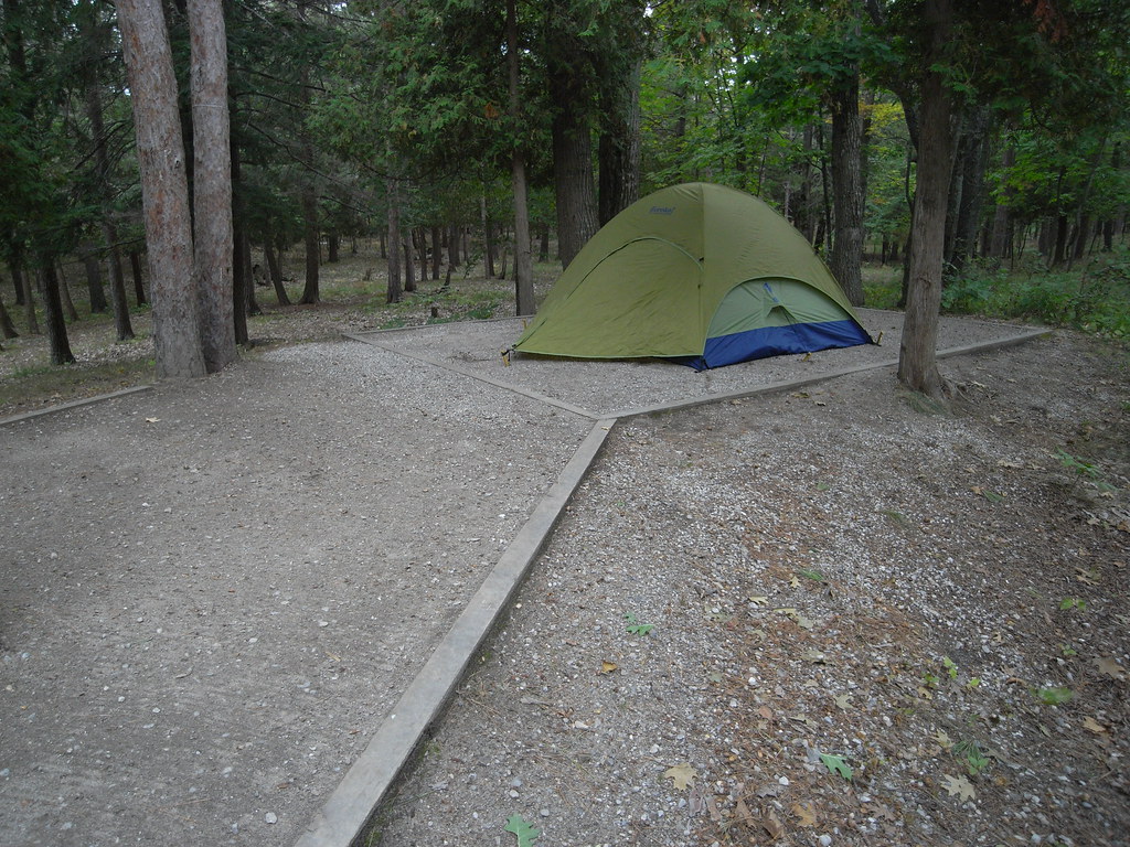 Alligator Hill Trail West LoopHiking · ~56 min drivePhoto: Seth Tisue, CC BY-SA 2.0 (via Flickr)
- Manistee River TrailHiking · ~59 min drive
 Pyramid Point TrailHiking · ~54 min drivePhoto: Jim Sorbie, CC BY 2.0 (via Flickr)
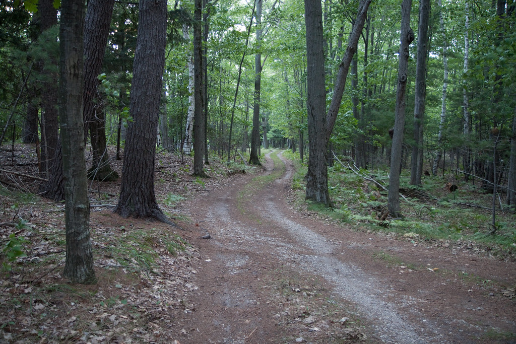 Lasso Loop (Platte Plains)Hiking · ~59 min drivePhoto: tompagenet, CC BY-SA 2.0 (via Flickr)
- Bay View TrailHiking · ~54 min drive
- Fife Lake TrailHiking · ~21 min drive
Best time to visit Muncie Lakes Pathway
Best months: May–October. Best months have typical highs of 55–85 °F, lows of 30 °F or warmer (32 °F where the station doesn't record snow), at most one snowy day and no more than 12 wet days.
Jan
27° / 13°
Feb
30° / 12°
Mar
41° / 19°
Apr
54° / 31°
May
67° / 41°
Jun
77° / 51°
Jul
81° / 55°
Aug
79° / 54°
Sep
71° / 48°
Oct
57° / 38°
Nov
44° / 29°
Dec
32° / 19°
Typical high / low (°F) and days with rain or snow, 1991–2020. Measured at S Boardman 2w, MI, 5.1 mi away at 1,046 ft. This station doesn't record snowfall. Source: NOAA NCEI U.S. Climate Normals 1991–2020.
Map and trail data © OpenStreetMap contributors
