Fife Lake Trail
- 6.9 mi
- one way
- 234 ft
- climb
- 1,111 ft
- high point
- Point to point
- route
- May–Oct
- best months
Clear at last check
Weather is good · OpenWeather · checked 19 h ago
Fife Lake Trail is a 6.9-mile point-to-point hike in Cadillac State Forest Area in Michigan, managed by the State Department of Natural Resources. The route rises from about 990 feet to a high point of 1,111 feet, with the steepest stretch at about 13% grade near mile 6.2. The trail is rated moderate, and the climb totals 234 feet. Summer is the most comfortable time to go. Typical averages from a nearby weather station show July highs around 79°F with lows near 55°F, while winter highs stay in the 20s. Bikes are allowed on the trail. The closest town is Fife Lake, and the trail is part of the state forest network.
 Man. RV- Suspension Brdg SpurHiking · ~37 min drivePhoto: usfs_Eastern_Region, Public Domain Mark (via Flickr)
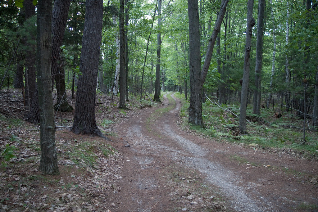 Lasso Loop (Platte Plains)Hiking · ~1h 4m drivePhoto: tompagenet, CC BY-SA 2.0 (via Flickr)
- Mackenzie Mountain BikeHiking · ~39 min drive
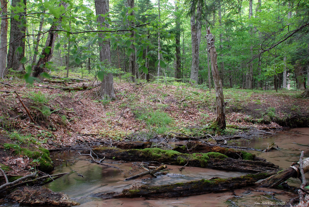 Bass Lake Loop (Platte Plains)Hiking · ~1h 1m drivePhoto: Jim Sorbie, CC BY 2.0 (via Flickr)
- Mcct - Cad/manHiking · ~28 min drive
- Manistee River TrailHiking · ~45 min drive
 Otter Creek Loop (Platte Plains)Hiking · ~1h 2m drivePhoto: Jim Sorbie, CC BY 2.0 (via Flickr)
- SB Heritage Trail PavedHiking · ~1h 5m drive
 Empire Bluff TrailHiking · ~1h 5m drivePhoto: Jim Sorbie, CC BY 2.0 (via Flickr)
- Big M Bike - Swedish FiddleHiking · ~1h 5m drive
Best time to visit Fife Lake Trail
Best months: May–October. Best months have typical highs of 55–85 °F, lows of 30 °F or warmer (32 °F where the station doesn't record snow), at most one snowy day and no more than 12 wet days.
Jan
25° / 10°
Feb
28° / 11°
Mar
38° / 16°
Apr
51° / 29°
May
65° / 40°
Jun
75° / 51°
Jul
79° / 55°
Aug
77° / 53°
Sep
71° / 47°
Oct
56° / 36°
Nov
42° / 27°
Dec
31° / 18°
Typical high / low (°F) and days with rain or snow, 1991–2020. Measured at Fife Lake 2wnw, MI, 6.6 mi away at 1,052 ft. This station doesn't record snowfall. Source: NOAA NCEI U.S. Climate Normals 1991–2020.

Map and trail data © OpenStreetMap contributors
