Horseshoe Harbor Trail
 Photo: Jim Sorbie, CC BY 2.0 (via Flickr)
- 0.4 mi
- one way
- 63 ft
- climb
- 688 ft
- high point
- Point to point
- route
- May–Sep
- best months
The Horseshoe Harbor Trail is a short, easy hike of about 0.43 miles in Michigan's Mary Macdonald Preserve at Horseshoe Harbor, managed by a non-governmental organization. The route rises steadily from 608 feet to 688 feet, with a total gain of 63 feet, and the steepest stretch comes at about 0.27 miles in. Summer is the most comfortable time to go. Typical averages from a nearby weather station at Copper Harbor run from highs around 67°F with lows near 46°F in June to about 73°F with similar lows in July and August. That station sits just 3 miles away and at a similar elevation, so it makes a fair guide to conditions on the trail. The hike can be done in about half an hour. Dogs, bikes and horses are not allowed here, so plan on going on foot. For more time outdoors, Mandan Road and East Bluff Driveway, both cross-country ski routes, lie about a mile away. Cathedral Grove Loop Trail and Bertha Daubendiek Memorial Grove Trail are hiking options roughly 4 miles off.
Local outfitters
- Keweenaw Adventure Company4 mi away
Not on Roamze yet. Their page has how to reach them.
- Mandan RoadCross-country skiing1 mi
- East Bluff DrivewayCross-country skiing1.1 mi
- East Bluff Overlook AccessCross-country skiing1.7 mi
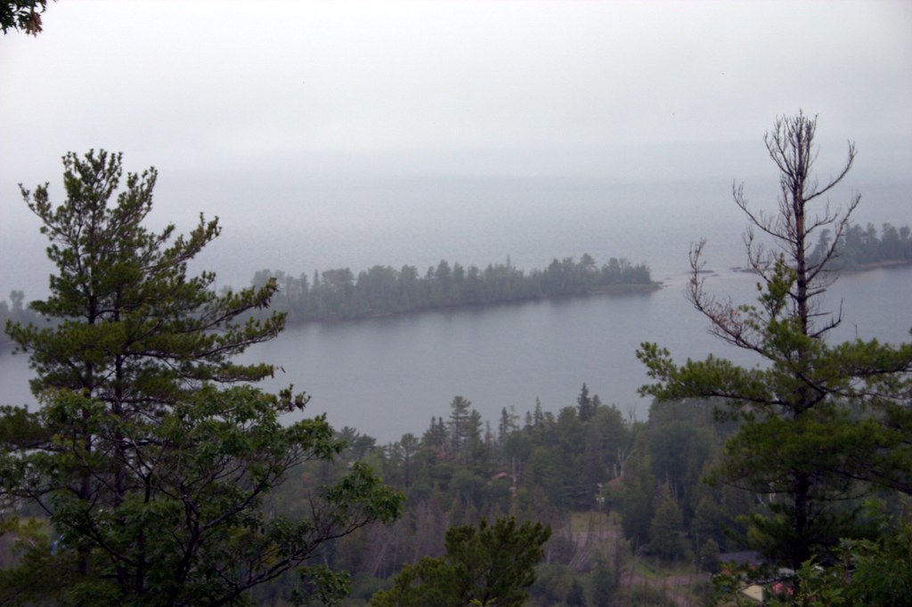 Here We GoHikingPhoto: rharrison, CC BY-SA 2.0 (via Flickr)4.2 mi
- Bertha Daubendiek Memorial Grove TrailHiking4.3 mi
- Cathedral Grove Loop TrailHiking4.5 mi
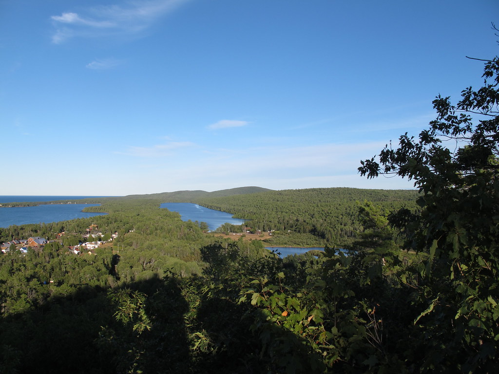 Rooks Memorial TrailHikingPhoto: StretchyBill, CC BY-SA 2.0 (via Flickr)5 mi
- JohnsonHiking6.6 mi
Source: Roamze catalog (indexable pages within 10 miles, PostGIS distance)
- Fort Wilkins GardenHiking · ~7 min drivePhoto: StretchyBill, CC BY-SA 2.0 (via Flickr)
- Here We GoHiking · ~7 min drivePhoto: rharrison, CC BY-SA 2.0 (via Flickr)
 Hunter's Point Hiking TrailHiking · ~8 min drivePhoto: Joe Passe, CC BY-SA 2.0 (via Flickr)
- Rooks Memorial TrailHiking · ~9 min drivePhoto: StretchyBill, CC BY-SA 2.0 (via Flickr)
 Top of Hill HikeHiking · ~20 min drivePhoto: Jim Sorbie, CC BY 2.0 (via Flickr)
- Northwoods TrailHiking · ~20 min drivePhoto: Jim Sorbie, CC BY 2.0 (via Flickr)
- Cliff View TrailHiking · ~20 min drivePhoto: Jim Sorbie, CC BY 2.0 (via Flickr)
 Keweenaw Shores TrailHiking · ~21 min drivePhoto: Joe Passe, CC BY-SA 2.0 (via Flickr)
- Upson Lake TrailHiking · ~21 min drivePhoto: Joe Passe, CC BY-SA 2.0 (via Flickr)
 North BoardwalkHiking · ~1h 12m drivePhoto: dwmizell, CC BY-SA 2.0 (via Flickr)
Best time to visit Horseshoe Harbor Trail
Best months: May–September. Best months have typical highs of 55–85 °F, lows of 30 °F or warmer (32 °F where the station doesn't record snow), at most one snowy day and no more than 12 wet days.
Jan
23° / 11°
Feb
25° / 10°
Mar
34° / 17°
Apr
44° / 28°
May
57° / 39°
Jun
67° / 46°
Jul
73° / 54°
Aug
73° / 56°
Sep
66° / 50°
Oct
52° / 39°
Nov
39° / 28°
Dec
29° / 18°
Typical high / low (°F) and days with rain or snow, 1991–2020. Measured at Copper Harbor Ft Wilkins, MI, 3 mi away at 625 ft. This station doesn't record snowfall. Source: NOAA NCEI U.S. Climate Normals 1991–2020.
Map and trail data © OpenStreetMap contributors
