Green Trail
- 1.1 mi
- loop
- 44 ft
- climb
- 1,069 ft
- high point
- Loop
- route
- Apr–Oct
- best months
Green Trail is a short, easy loop in Michigan's Forest Reserve, managed by a non-governmental organization. The route is about 1.1 miles long, with a total elevation gain of 44 feet and a total loss of 123 feet, making it a gentle walk that can be done in roughly half an hour. The trail rises to a high point of 1,069 feet and drops to a low of 1,021 feet. The steepest stretch comes at about 0.49 miles in, with a grade of 3 percent. The trail is a loop, so you return to your starting point. For comfortable weather, late spring through early fall works best. Typical averages from the Gladwin, Michigan weather station, about 14 miles away, show highs around 68°F in May and 73°F in September, with July peaking near 82°F. Winter is cold, with January highs around 29°F and several snowy days each month from December through February. Several other trails sit close by, including Black Trail, Blue Trail and Yellow Trail, each about 0.3 miles away. For an overnight stay, Hammock Village campground is about 1.6 miles off.
Best time to go · Apr–Oct
Best time to visit Green Trail
Best months: April–October. Best months have typical highs of 55–85 °F, lows of 30 °F or warmer (32 °F where the station doesn't record snow), at most one snowy day and no more than 12 wet days.
Jan
29° / 13°
11 wet · 8 snow
Feb
32° / 13°
9 wet · 6 snow
Mar
43° / 20°
9 wet · 4 snow
Apr
55° / 31°
10 wet · 1 snow
May
68° / 43°
11 wet
Jun
78° / 53°
10 wet
Jul
82° / 57°
10 wet
Aug
80° / 55°
9 wet
Sep
73° / 47°
10 wet
Oct
60° / 37°
11 wet
Nov
46° / 28°
11 wet · 3 snow
Dec
34° / 20°
11 wet · 6 snow
Typical high / low (°F) and days with rain or snow, 1991–2020. Measured at Gladwin, MI, 13.8 mi away at 775 ft. Source: NOAA NCEI U.S. Climate Normals 1991–2020.
Keep exploring — more trails worth the drive
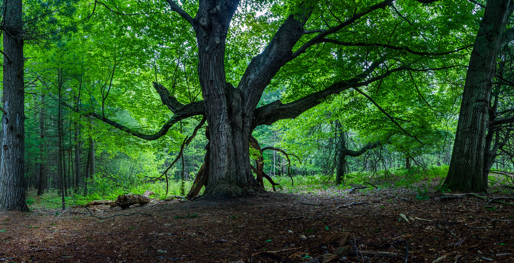 Photo: Christian Collins, CC BY-SA 2.0 (via Flickr)
River Point Trail
~59 min drive
Easy 1.33-mile riverside loop in Michigan.
HIKE
Blue Trail
Next door
Moderate 9.39-mile out-and-back trail in Michigan.
HIKE
HUNGERFORD TRAIL 24
~1h 18m drive
6.48-mile out-and-back trail in Michigan with 688 ft elevation gain.
 Photo: Christian Collins, CC BY-SA 2.0 (via Flickr)
Sugar Bush Trail
~59 min drive
0.63-mile loop trail in Michigan with 112 ft gain and 144 ft loss.
HIKE
Midland to Mackinaw Trail
~1h 12m drive
52-mile point-to-point trail from Midland to Mackinaw City through Michigan forests.
 Photo: Christian Collins, CC BY-SA 2.0 (via Flickr)
River Trail
~59 min drive
A scenic 2.89-mile point-to-point river walk in Michigan.
HIKE
Hungerford Bike Trail
~1h 19m drive
16.76-mile out-and-back bike trail through Michigan countryside.
Photo: Christian Collins, CC BY-SA 2.0 (via Flickr)Field Trail
~59 min drive
Easy one-mile loop through Michigan fields.
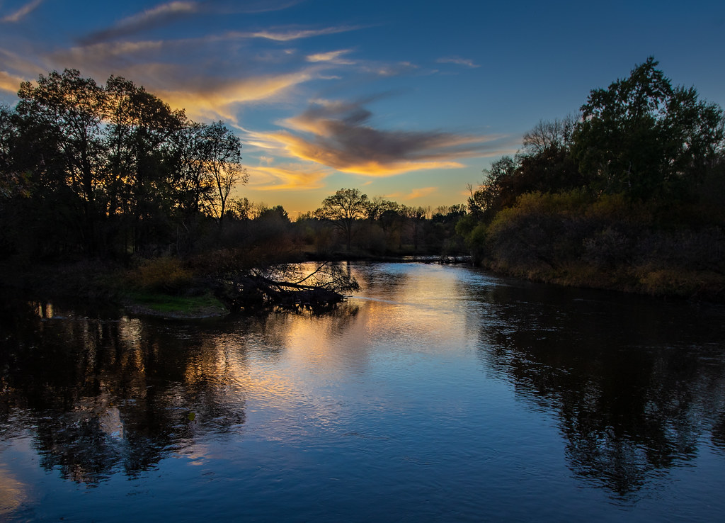 Photo: Christian Collins, CC BY-SA 2.0 (via Flickr)
Meadow Mouse Trail
~59 min drive
0.47-mile loop trail in Michigan with 92 ft of elevation gain.
Photo: Christian Collins, CC BY-SA 2.0 (via Flickr)Arbury Trail
~59 min drive
Easy 0.33-mile loop trail in Michigan.
Map and trail data © OpenStreetMap contributors
