Flint River Trail
- 1.7 mi
- distance
- 748 ft
- high point
- Lollipop
- route
- Easy
- difficulty
- Apr–Oct
- best months
The Flint River Trail is an easy, nearly flat hike of about 1.65 miles through the Genessee Recreation Area in Michigan. It is managed by county land, and it starts and ends at roughly the same elevation of 745 feet, with the trail's high point at 748 feet. The route is mostly level, with a gentle rise of about 4% at the 1.5-mile mark. Because the trail gains no elevation overall, it works well as a short outing on foot or as a break before or after time on the water. Late spring and early fall are the most comfortable times to go. Typical averages from a nearby weather station in Burton run highs around 70°F in May and 74°F in September, with July the warmest month at about 84°F. The Flint River is about half a mile away, and the Flint River Water Trail is roughly 7 miles off. For an overnight stay, Outdoor Adventures Lake Shore Resort is about 5.4 miles away.
- Flint RiverCanoeing0.5 mi
- Outdoor Adventures Lake Shore ResortCamping5.4 mi
- Flint River Water TrailCanoeing6.8 mi
Source: Roamze catalog (indexable pages within 10 miles, PostGIS distance)
 Hiking TrailHiking · ~50 min drivePhoto: KRoark, CC BY-SA 2.0 (via Flickr)
- Flint River TrailHiking · ~9 min drive
- Polly Ann TrailHiking · ~50 min drive
- Hiking TrailHiking · ~51 min drivePhoto: KRoark, CC BY-SA 2.0 (via Flickr)
- OrangeHiking · ~53 min drive
- Chief Pontiac Trail Conventional HikeHiking · ~1h 3m drive
- Hiking TrailHiking · ~51 min drivePhoto: KRoark, CC BY-SA 2.0 (via Flickr)
- Bald Mountain-South Unit TrailsHiking · ~55 min drive
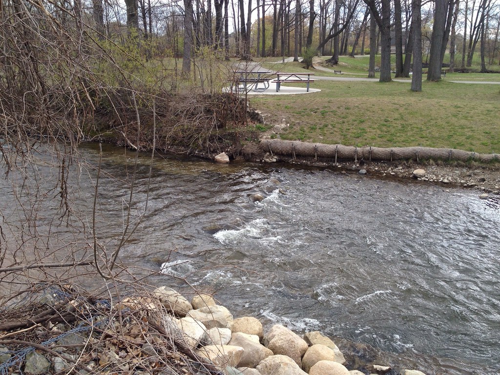 Dinosaur Hill Nature Preserve TrailsHiking · ~1h 5m drivePhoto: ffg, CC BY 2.0 (via Flickr)
- Brighton Recreation Area Bishop Lake Hiking TrailsHiking · ~1h 11m drive
Best time to visit Flint River Trail
Best months: April–October. Best months have typical highs of 55–85 °F, lows of 30 °F or warmer (32 °F where the station doesn't record snow), at most one snowy day and no more than 12 wet days.
Jan
31° / 15°
Feb
34° / 14°
Mar
44° / 23°
Apr
57° / 32°
May
70° / 44°
Jun
79° / 54°
Jul
84° / 58°
Aug
81° / 56°
Sep
74° / 48°
Oct
61° / 39°
Nov
48° / 29°
Dec
36° / 21°
Typical high / low (°F) and days with rain or snow, 1991–2020. Measured at Burton 4n, MI, 3.4 mi away at 757 ft. This station doesn't record snowfall. Source: NOAA NCEI U.S. Climate Normals 1991–2020.

Map and trail data © OpenStreetMap contributors
