Otter Creek Loop (Platte Plains)
 Photo: Jim Sorbie, CC BY 2.0 (via Flickr)
- 4.5 mi
- loop
- 20 ft
- climb
- 609 ft
- high point
- Loop
- route
- May–Sep
- best months
Is Otter Creek Loop (Platte Plains) open right now?
No closures listed
The National Park Service lists no closures for Sleeping Bear Dunes National Lakeshore.
As of · Source: NPS · Sleeping Bear Dunes National Lakeshore. Agencies don't list every closure — check before you go.
Otter Creek Loop (Platte Plains) is a 4.5-mile loop hike in the Sleeping Bear Dunes Wilderness, part of Sleeping Bear Dunes National Lakeshore in Michigan. The National Park Service manages the land, and the trail is rated easy, with a total elevation gain of about 20 feet. Summer is the most comfortable time to go. Typical averages from a nearby weather station in Frankfort show July highs around 77°F with lows near 60°F, while winter brings highs in the 20s and regular snow days from December through February. The trail is a loop, so the 4.5-mile figure covers the whole route. Bikes and horses are not allowed, and a fee is charged. Bass Lake Loop (Platte Plains) is about 1.4 miles away, and Treat Farm Trail and No Name Trail are each about 2.2 miles off. Platte River Campground sits about 4 miles away.
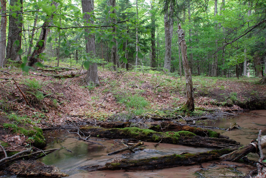 Bass Lake Loop (Platte Plains)HikingPhoto: Jim Sorbie, CC BY 2.0 (via Flickr)1.4 mi
- Treat Farm TrailHiking2.2 mi
- No Name TrailHiking2.2 mi
 Empire Bluff TrailHikingPhoto: Jim Sorbie, CC BY 2.0 (via Flickr)3.1 mi
 Platte River CampgroundCampingPhoto: Recreation.gov (RIDB) / public domain4 mi
- Platte RiverRiver fishing5.2 mi
 D.H. Day Group CampgroundCampingPhoto: Recreation.gov (RIDB) / public domain9.4 mi
 D.H. Day CampgroundCampingPhoto: Recreation.gov (RIDB) / public domain9.9 mi
Source: Roamze catalog (indexable pages within 10 miles, PostGIS distance)
- Bass Lake Loop (Platte Plains)Hiking · ~2 min drivePhoto: Jim Sorbie, CC BY 2.0 (via Flickr)
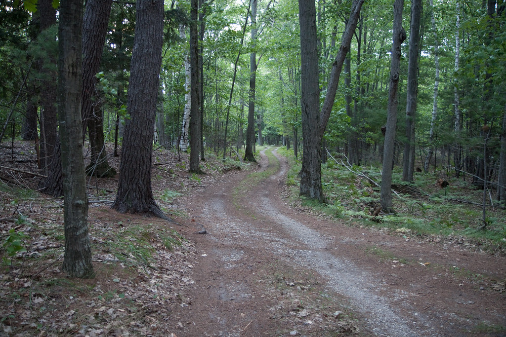 Lasso Loop (Platte Plains)Hiking · ~6 min drivePhoto: tompagenet, CC BY-SA 2.0 (via Flickr)
- Manistee River TrailHiking · ~59 min drive
- Empire Bluff TrailHiking · ~5 min drivePhoto: Jim Sorbie, CC BY 2.0 (via Flickr)
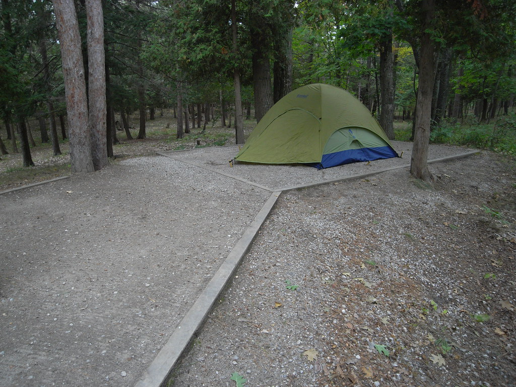 Alligator Hill Trail West LoopHiking · ~16 min drivePhoto: Seth Tisue, CC BY-SA 2.0 (via Flickr)
- MARZINSKI HORSE TRAILHiking · ~1h 6m drive
 SB Heritage Trail Paved Not NPS PropertyHiking · ~9 min drivePhoto: Jim Sorbie, CC BY 2.0 (via Flickr)
 Alligator Hill Trail East LoopHiking · ~17 min drivePhoto: Jim Sorbie, CC BY 2.0 (via Flickr)
 Shauger Hill TrailHiking · ~11 min drivePhoto: clembore, CC BY-SA 2.0 (via Flickr)
- SB Heritage Trail PavedHiking · ~6 min drive
Best time to visit Otter Creek Loop (Platte Plains)
Best months: May–September. Best months have typical highs of 55–85 °F, lows of 30 °F or warmer (32 °F where the station doesn't record snow), at most one snowy day and no more than 12 wet days.
Jan
29° / 19°
14 wet · 14 snow
Feb
31° / 19°
11 wet · 10 snow
Mar
40° / 25°
10 wet · 6 snow
Apr
52° / 35°
10 wet · 2 snow
May
64° / 45°
10 wet
Jun
73° / 55°
9 wet
Jul
77° / 60°
9 wet
Aug
76° / 60°
9 wet
Sep
69° / 54°
10 wet
Oct
56° / 43°
13 wet · 1 snow
Nov
44° / 33°
13 wet · 5 snow
Dec
34° / 24°
13 wet · 11 snow
Typical high / low (°F) and days with rain or snow, 1991–2020. Measured at Frankfort 2ne, MI, 10.4 mi away at 948 ft. Source: NOAA NCEI U.S. Climate Normals 1991–2020.
Map and trail data © OpenStreetMap contributors
