Connector Trail
- 0.9 mi
- one way
- 17 ft
- climb
- 1,009 ft
- high point
- Point to point
- route
- Apr, Jun–Oct
- best months
Connector Trail is a short, easy hike in Orion Oaks County Park in Michigan, about 0.9 miles long with a total elevation gain of 17 feet. It is a point-to-point route, and the climb is gentle, with the steepest stretch at about 0.7 miles in, where the grade reaches 2 percent. The trail starts at roughly 1,007 feet and ends at about 1,009 feet, so it is a flat, low-effort walk. Bikes are allowed on the trail, but horses are not, according to OpenStreetMap tags. The trail sits within the park's network of routes, and it works well as a short outing or a link between other paths in the area. Late spring and early fall are the most comfortable times to go. Typical averages from a nearby weather station show May highs around 69°F and September highs around 73°F, with July the warmest month at about 82°F. Several other trails start close by. Massasauga Loop is about 0.1 mile away, Orion Thru-Way about 0.2 mile, and Bluebird Loop about 0.4 mile. Camp Agawam, a campground, is about 1.3 miles off.
- Massasauga LoopHiking0.1 mi
- Orion Thru-WayHiking0.2 mi
- Bluebird LoopHiking0.4 mi
- Polly Ann TrailHiking0.8 mi
- Camp AgawamCamping1.3 mi
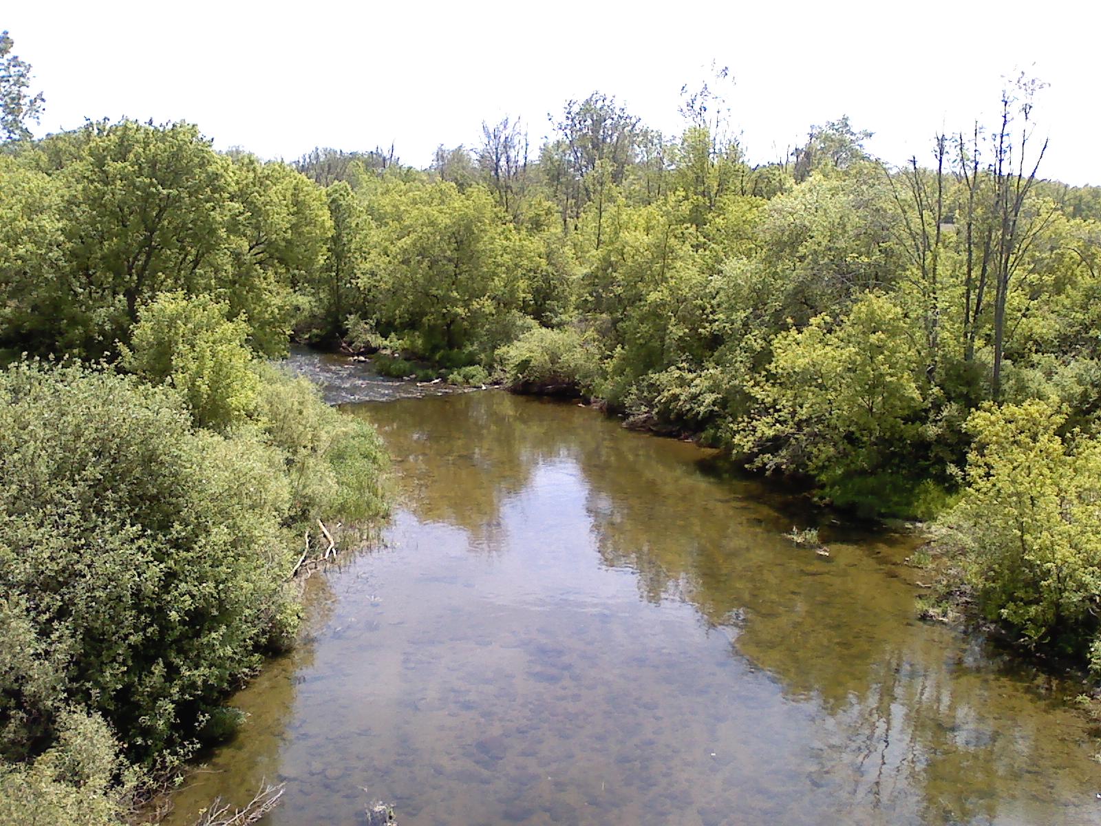 Clinton RiverCanoeingPhoto: Local hero, Public domain (via Wikimedia Commons)5 mi
- Paint CreekCanoeing6.9 mi
- Clinton River Water TrailCanoeing7.7 mi
Source: Roamze catalog (indexable pages within 10 miles, PostGIS distance)
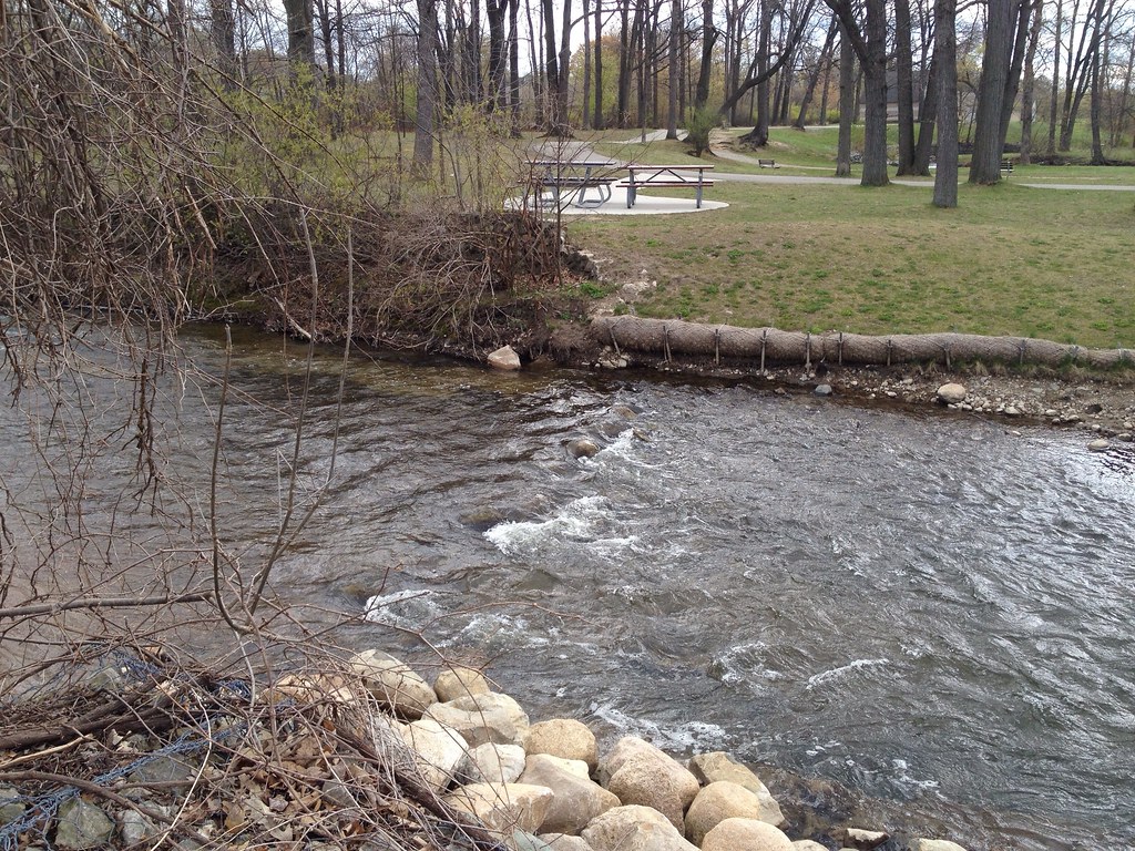 Dinosaur Hill Nature Preserve TrailsHiking · ~15 min drivePhoto: ffg, CC BY 2.0 (via Flickr)
 Multi-Use (Hike)Hiking · ~43 min drivePhoto: taboo8614, CC BY-SA 3.0 (via Wikimedia Commons)
- Chief Pontiac Trail Conventional HikeHiking · ~35 min drive
 Hiking TrailHiking · ~17 min drivePhoto: KRoark, CC BY-SA 2.0 (via Flickr)
- HikingHiking · ~43 min drivePhoto: taboo8614, CC BY-SA 3.0 (via Wikimedia Commons)
- Polly Ann TrailHiking · ~36 min drive
- Hiking TrailHiking · ~17 min drivePhoto: KRoark, CC BY-SA 2.0 (via Flickr)
- Bald Mountain-South Unit TrailsHiking · ~6 min drive
- Hiking TrailHiking · ~17 min drivePhoto: KRoark, CC BY-SA 2.0 (via Flickr)
- OrangeHiking · ~9 min drive
Best time to visit Connector Trail
Best months: April and June–October. Best months have typical highs of 55–85 °F, lows of 30 °F or warmer (32 °F where the station doesn't record snow), at most one snowy day and no more than 12 wet days.
Jan
30° / 16°
10 wet
Feb
33° / 18°
8 wet
Mar
43° / 26°
11 wet
Apr
57° / 36°
12 wet
May
69° / 48°
13 wet
Jun
78° / 58°
12 wet
Jul
82° / 62°
11 wet
Aug
80° / 61°
11 wet
Sep
73° / 53°
11 wet
Oct
60° / 42°
11 wet
Nov
46° / 32°
10 wet
Dec
35° / 23°
11 wet
Typical high / low (°F) and days with rain or snow, 1991–2020. Measured at Pontiac Oakland Co Intl Ap, MI, 9 mi away at 976 ft. This station doesn't record snowfall. Source: NOAA NCEI U.S. Climate Normals 1991–2020.
Map and trail data © OpenStreetMap contributors
