Clear Lake Interpretive Trail
- 4.1 mi
- loop
- 23 ft
- climb
- 802 ft
- high point
- Loop
- route
- May–Aug
- best months
Is Clear Lake Interpretive Trail open right now?
Closure in the area
There's a closure order in Hiawatha National Forest. It doesn't name Clear Lake Interpretive Trail, so check the source for the area it covers (2 listed).
Brevoort Lake Autumn Drawdown
Agency closure covering Hiawatha National Forest · USFS · Hiawatha National Forest
Haymeadow Trail and Bridge Closed
Agency closure covering Hiawatha National Forest · USFS · Hiawatha National Forest
Restricting Public Entry to Stonington Quarry
Agency alert covering Hiawatha National Forest · USFS · Hiawatha National Forest
As of · Source: USFS · Hiawatha National Forest. Agencies don't list every closure — check before you go.
Clear Lake Interpretive Trail is a 4.1-mile loop in Michigan's Hiawatha National Forest, within the Munising Ranger District. The route rises about 30 feet from its lowest point at 772 feet to a high of 802 feet, and the steepest stretch comes at about mile 1, where the grade reaches 10%. The trail is rated moderate, with a natural surface. Bikes are allowed, and the trail is not accessible. Summer is the most comfortable time to visit. Typical July averages from a nearby weather station in Munising run around 73°F for highs and 55°F for lows, and the trail is open from about May 1 to December 1. Clear Lake Campsite sits just 0.3 miles away. Colwell Lake Trail and Colwell Lake Campground are both within about 2 miles. Crooked Lake Campsite is about 2.3 miles off.
Best time to go · May–Aug
Best time to visit Clear Lake Interpretive Trail
Best months: May–August. Best months have typical highs of 55–85 °F, lows of 30 °F or warmer (32 °F where the station doesn't record snow), at most one snowy day and no more than 12 wet days.
Jan
23° / 11°
21 wet
Feb
25° / 11°
17 wet
Mar
33° / 19°
13 wet
Apr
45° / 28°
11 wet
May
59° / 39°
12 wet
Jun
68° / 49°
12 wet
Jul
73° / 55°
12 wet
Aug
72° / 55°
11 wet
Sep
65° / 49°
14 wet
Oct
52° / 38°
17 wet
Nov
39° / 27°
17 wet
Dec
29° / 18°
19 wet
Typical high / low (°F) and days with rain or snow, 1991–2020. Measured at Munising, MI, 16.3 mi away at 680 ft. This station doesn't record snowfall. Source: NOAA NCEI U.S. Climate Normals 1991–2020.
Keep exploring — more trails worth the drive
 Photo: usfs_Eastern_Region, Public Domain Mark (via Flickr)
Pine Marten Run
~16 min drive
Remote 37-mile out-and-back backcountry trail in Michigan's northern forests.
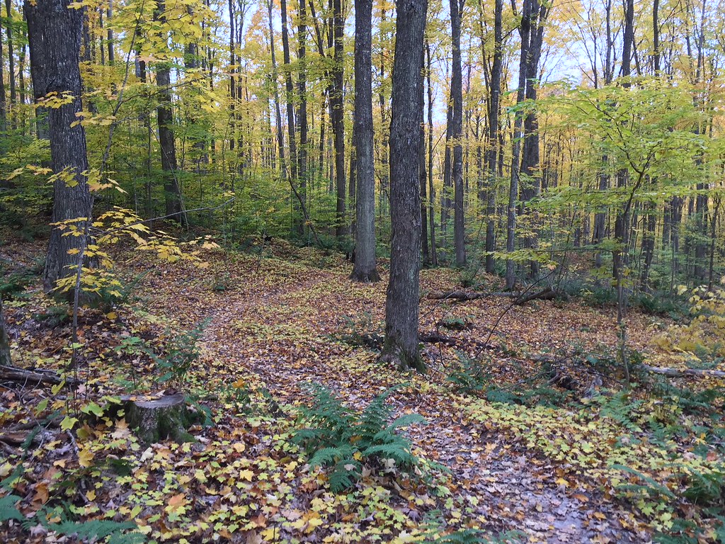 Photo: usfs_Eastern_Region, Public Domain Mark (via Flickr)
VALLEY SPUR SKI LOOP Y
~27 min drive
5.92-mile out-and-back ski trail in Michigan with 326 ft elevation gain
Photo: usfs_Eastern_Region, Public Domain Mark (via Flickr)VALLEY SPUR SKI LOOP G1
~27 min drive
1.00-mile loop trail in Michigan with 153 ft elevation gain.
 Photo: LadyDragonflyCC - >;<, CC BY 2.0 (via Flickr)
Lyme Timber
~25 min drive
17.72-mile out-and-back trail in Michigan with 1,609 ft gain
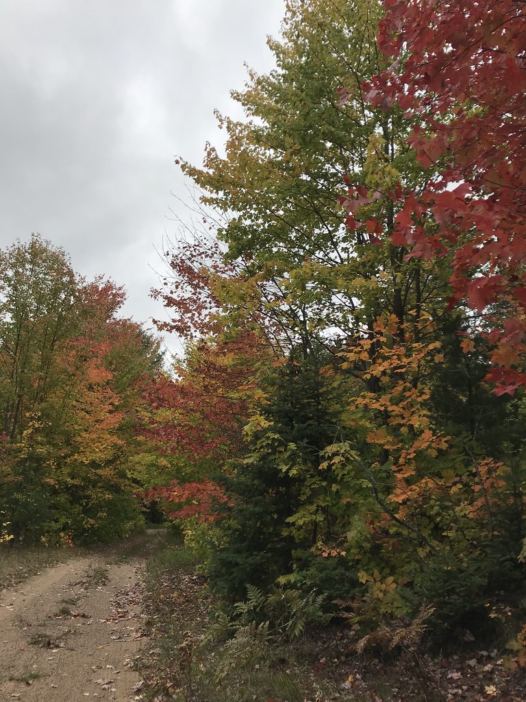 Photo: usfs_Eastern_Region, Public Domain Mark (via Flickr)
Coalwood Grade ATV
~28 min drive
7.77-mile out-and-back trail in Michigan with 198 ft elevation gain.
Photo: usfs_Eastern_Region, Public Domain Mark (via Flickr)VALLEY SPUR SKI LOOP W
~27 min drive
2.13-mile loop in Michigan with 164 ft elevation gain
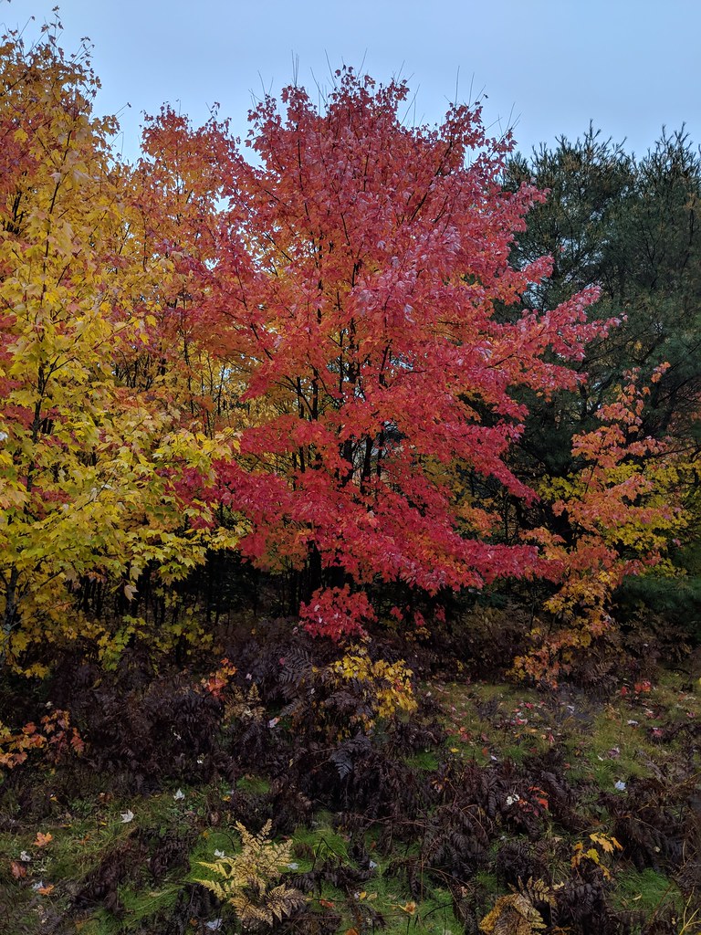 Photo: usfs_Eastern_Region, Public Domain Mark (via Flickr)
Valley Spur-Hemlock Valley
~26 min drive
10.39-mile out-and-back trail in Michigan with 386 ft elevation gain.
 Photo: Joe Passe, CC BY-SA 2.0 (via Flickr)
Grand Island Thumb Hiking Trl
~32 min drive
4.00-mile out-and-back trail in Michigan with 480 ft elevation gain.
 Photo: usfs_Eastern_Region, Public Domain Mark (via Flickr)
Valley Spur-Cedar Streak
~28 min drive
0.96-mile out-and-back trail in Michigan with 33 ft elevation gain.
 Photo: usfs_Eastern_Region, Public Domain Mark (via Flickr)
Brunos Run
~16 min drive
12.81-mile loop in Michigan with 904 ft elevation gain.
