Buck Hill
- 492 ft
- summit
- 1
- way up
- Apr, Jun–Oct
- best months
Buck Hill is a summit in Massachusetts, about 2 miles from the town of Milton. For comfortable weather, September is a good bet, with typical highs around 73°F and lows near 56°F at a nearby weather station, and it is the driest month there at about nine wet days. Summer runs warmer, with July highs typically around 82°F. The station sits about 130 feet below the summit, so temperatures on top may run slightly cooler. The closest options are within about half a mile. Red Dot Loop and Savoy Path are both hikes, and Dark Hollow Path is a mountain biking route. Climbers will find Upper Wall about 2 miles away.
Conditions and forecast
Daily highs and lows, wind and the chance of precipitation at the summit and route start for the next 7 days, from the Open-Meteo model.
- Summit elevation
- 492 ft
Elevation from USGS 3D Elevation Program terrain data (about 10 m resolution).
Map © Mapbox © OpenStreetMap contributors Questions about Buck Hill
How tall is Buck Hill?
492 ft (150 m).
How many routes go to the summit of Buck Hill?
One: Skyline Trail.
- Hawk Hill430 ft · Massachusetts1 route0.6 mi away
- Chickatawbut Hill509 ft · Massachusetts2 routes0.9 mi away
- Hancock Hill504 ft · Massachusetts1 route1.1 mi away
- Nahanton Hill477 ft · Massachusetts1 route1.1 mi away
 Great Blue Hill634 ft · Massachusetts2 routes2.1 mi awayPhoto: The original uploader was Swampyank at English Wikipedia., Public domain (via Wikimedia Commons)
- The Crags300 ft · Massachusetts1 route2.1 mi away
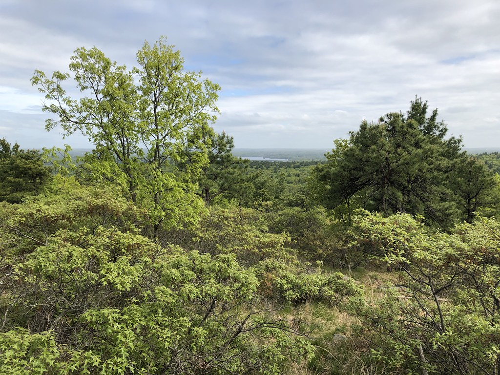 Red Dot LoopHikingPhoto: clembore, CC BY-SA 2.0 (via Flickr)0.5 mi
- Dark Hollow PathMountain biking0.5 mi
- Savoy PathHikingPhoto: clembore, CC BY-SA 2.0 (via Flickr)0.6 mi
- Headquarters PathMountain biking1 mi
- Upper WallRock climbing2.1 mi
- Gypsy Moth WallRock climbing2.1 mi
- Lunch WallRock climbing2.1 mi
- East Branch Neponset RiverCanoeing5.8 mi
Source: Roamze catalog (indexable pages within 10 miles, PostGIS distance)
- Great Blue HillSummit · ~3 min drivePhoto: The original uploader was Swampyank at English Wikipedia., Public domain (via Wikimedia Commons)
 Bearberry HillSummit · ~9 min drivePhoto: Larry D. Moore, CC BY 4.0 (via Wikimedia Commons)
 Waitts MountainSummit · ~26 min drivePhoto: Thea Prum from Boston, USA, CC BY-SA 2.0 (via Wikimedia Commons)
 Whipple HillSummit · ~29 min drivePhoto: Daderot, CC0 (via Wikimedia Commons)
 Pigeon HillSummit · ~31 min drivePhoto: Davidafranklin, CC BY-SA 4.0 (via Wikimedia Commons)
- Hawk HillSummit · Next door
- Tucker HillSummit · ~1 min drive
- Chickatawbut HillSummit · ~1 min drive
- Kitchamakin HillSummit · ~2 min drive
- Hancock HillSummit · ~2 min drive
Also worth it near here
Best time to visit Buck Hill
Best months: April and June–October. Best months have typical highs of 55–85 °F, lows of 30 °F or warmer (32 °F where the station doesn't record snow), at most one snowy day and no more than 12 wet days.
Jan
35° / 18°
13 wet
Feb
37° / 19°
11 wet
Mar
44° / 27°
13 wet
Apr
56° / 38°
12 wet
May
67° / 48°
13 wet
Jun
75° / 58°
12 wet
Jul
82° / 64°
11 wet
Aug
80° / 63°
10 wet
Sep
73° / 56°
9 wet
Oct
61° / 44°
11 wet
Nov
50° / 34°
11 wet
Dec
40° / 25°
13 wet
Typical high / low (°F) and days with rain or snow, 1991–2020. Measured at Blue Hill Coop, MA, 2 mi away at 625 ft. This station doesn't record snowfall. Source: NOAA NCEI U.S. Climate Normals 1991–2020.

