South Cedar Swamp Trail
- 1.1 mi
- loop
- 110 ft
- climb
- 319 ft
- high point
- Loop
- route
- Apr–Oct
- best months
South Cedar Swamp Trail is an easy hike in Massachusetts, about 1.2 miles from Westborough. The route is a short walk of about 1.1 miles, with a gentle rise of 110 feet from the start at 288 feet to the high point at 319 feet. The steepest stretch comes early, at about 0.23 miles in, with a grade of 4 percent. The trail works well as a quick outing. With a total climb of just over 100 feet and an estimated half hour on foot, it fits easily into a day spent exploring the area. The weather is typically most comfortable in late spring and early fall. Typical averages from a nearby weather station in West Medway put May highs around 71°F and September highs around 76°F, while July runs warmer at about 84°F. Other trails sit within a couple of miles, including the Whitehall Yellow Trail at about 1.7 miles and the Lower Loop and Upper Loop at about 1.8 and 1.9 miles. Paddlers can head to the Sudbury River, roughly 3.8 miles away.
- Whitehall Yellow TrailHiking1.7 mi
- Lower LoopHiking1.8 mi
- Upper LoopHiking1.9 mi
 Sudbury RiverCanoeingPhoto: John Phelan, CC BY 3.0 (via Wikimedia Commons)3.8 mi
- Hopkinton State ParkRock climbing4.1 mi
 Assabet RiverCanoeingPhoto: John Phelan, CC BY-SA 3.0 (via Wikimedia Commons)4.6 mi
- Upton BoulderingRock climbing5.2 mi
- Ruth Boulder GinsburgRock climbing5.4 mi
Source: Roamze catalog (indexable pages within 10 miles, PostGIS distance)
 John Malley TrailHiking · ~4 min drivePhoto: Eriky8 (Kevin Johnson), CC BY-SA 3.0 (via Wikimedia Commons)
- Whitehall Yellow TrailHiking · ~5 min drive
 Old Hopkinton Spring TrailHiking · ~5 min drivePhoto: Magicpiano, CC BY-SA 3.0 (via Wikimedia Commons)
- Edmund Hill TrailHiking · ~9 min drive
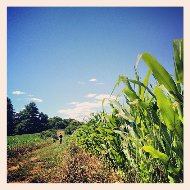 Cedar Hill TrailHiking · ~5 min drivePhoto: dee & tula monstah, CC BY 2.0 (via Flickr)
 Little Chauncy TrailHiking · ~6 min drivePhoto: Jakob Roedler (1808-1862), Public domain (via Wikimedia Commons)
- Sawink LoopHiking · ~6 min drivePhoto: Jakob Roedler (1808-1862), Public domain (via Wikimedia Commons)
- Crane Swamp TrailHiking · ~7 min drivePhoto: Jakob Roedler (1808-1862), Public domain (via Wikimedia Commons)
 Carlstrom II TrailHiking · ~9 min drivePhoto: Gudlyf, CC BY 2.0 (via Flickr)
 Green DiamondHiking · ~10 min drivePhoto: clembore, CC BY-SA 2.0 (via Flickr)
Best time to visit South Cedar Swamp Trail
Best months: April–October. Best months have typical highs of 55–85 °F, lows of 30 °F or warmer (32 °F where the station doesn't record snow), at most one snowy day and no more than 12 wet days.
Jan
38° / 17°
9 wet · 6 snow
Feb
41° / 18°
8 wet · 4 snow
Mar
48° / 25°
11 wet · 3 snow
Apr
60° / 35°
10 wet · 1 snow
May
71° / 46°
10 wet
Jun
79° / 55°
9 wet
Jul
84° / 61°
9 wet
Aug
83° / 59°
9 wet
Sep
76° / 51°
9 wet
Oct
65° / 39°
9 wet
Nov
53° / 31°
9 wet · 1 snow
Dec
43° / 23°
10 wet · 4 snow
Typical high / low (°F) and days with rain or snow, 1991–2020. Measured at West Medway, MA, 12.1 mi away at 210 ft. Source: NOAA NCEI U.S. Climate Normals 1991–2020.
Map and trail data © OpenStreetMap contributors
