Camp Pinehurst
Campground
Campground · 6.0 mi from the trail
 Photo: Dru1138, CC BY-SA 3.0 (via Wikimedia Commons)
Sandy Point Path is a short, easy out-and-back hike on Parker River National Wildlife Refuge in Massachusetts, managed by the U.S. Fish and Wildlife Service. The route is about 1.2 miles long, with a total elevation gain of 106 feet, and it starts and ends at roughly 17 feet. The climb is gentle, with the high point at 17 feet, and the whole trip takes about half an hour. Summer and early fall are the most comfortable times to go. Typical averages from a nearby weather station in Beverly show July highs around 80°F and September highs near 72°F, with lows in the 50s. Winter brings highs in the 30s and a few snow days a month from December through February. Stage Island Trail is about 0.4 miles away, and Hellcat Boardwalk Trail is about 2.3 miles off. Maplecroft Trail and Barton-Humphreys Trail are both within about 5 miles.
Camp Pinehurst
Campground
 If it rainsDaderot at English Wikipedia, CC BY-SA 3.0 · Wikimedia Commons
Dole-Little House
Museum
Places © OpenStreetMap contributors · Photos: Daderot at English Wikipedia, CC BY-SA 3.0 (commons)
More in NewburyportStage Island TrailHikingPhoto: Dru1138, CC BY-SA 3.0 (via Wikimedia Commons)0.4 mi Barton-Humphreys TrailHikingPhoto: Klieg, Public Domain Mark (via Flickr)4.9 mi
Source: Roamze catalog (indexable pages within 10 miles, PostGIS distance)
Stage Island TrailHiking · Next doorPhoto: Dru1138, CC BY-SA 3.0 (via Wikimedia Commons)Barton-Humphreys TrailHiking · ~8 min drivePhoto: Klieg, Public Domain Mark (via Flickr) Drumlin TrailHiking · ~15 min drivePhoto: clembore, CC BY-SA 2.0 (via Flickr)
 Main Loop TrailHiking · ~15 min drivePhoto: Dana L. Brown, CC BY-SA 2.0 (via Flickr)
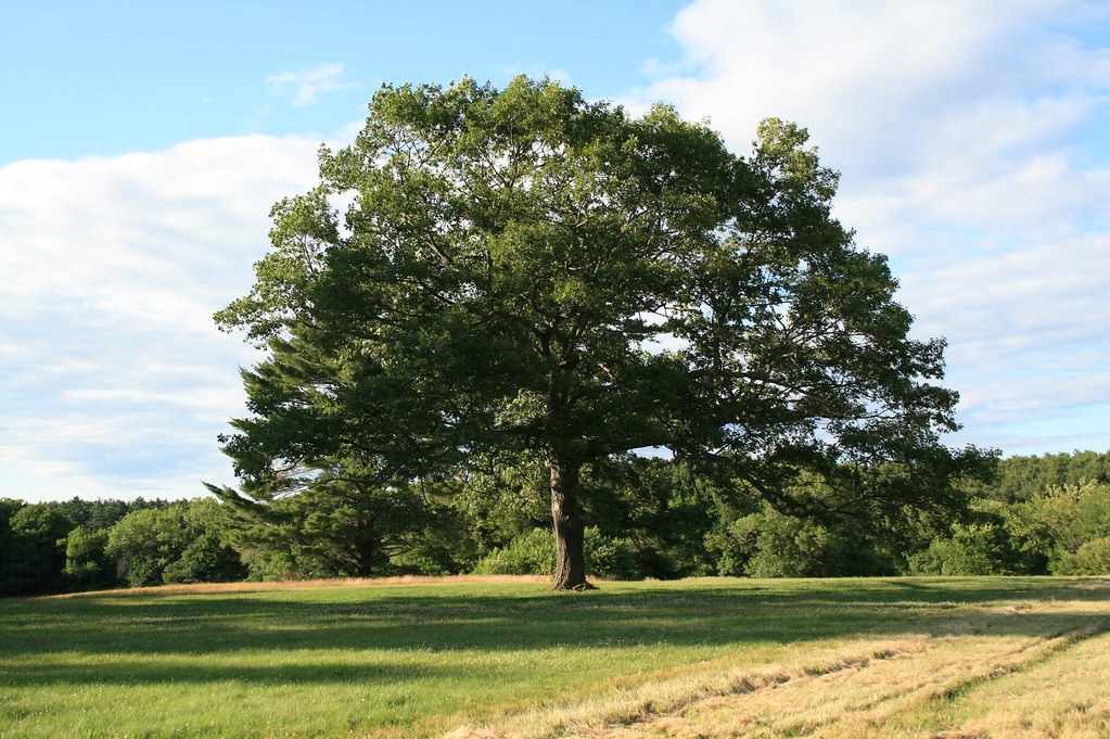 Randal J. Millen Nature TrailHiking · ~16 min drivePhoto: xshutter_bugx, CC BY 2.0 (via Flickr)
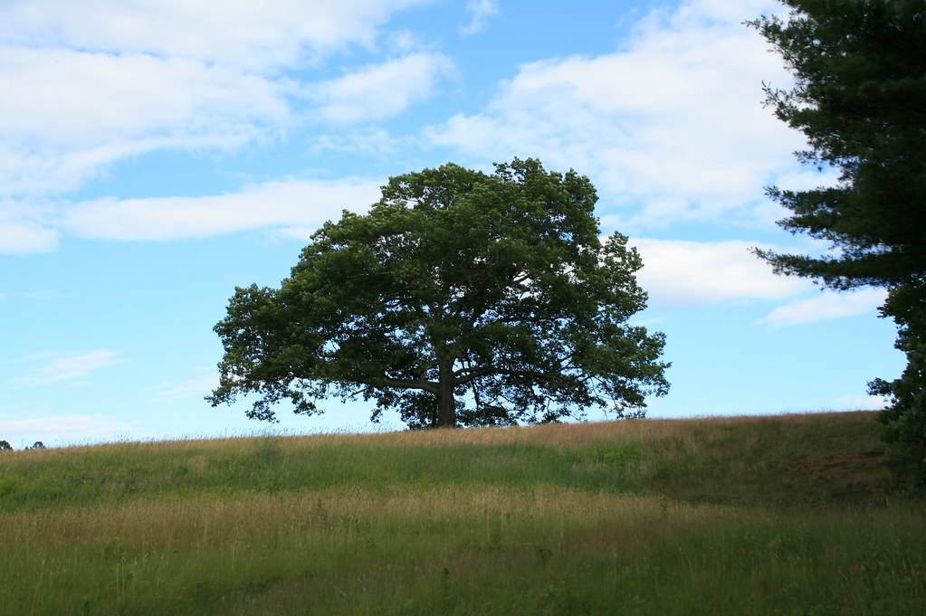 Artichoke TrailHiking · ~17 min drivePhoto: xshutter_bugx, CC BY 2.0 (via Flickr)
 West Ridge TrailHiking · ~19 min drivePhoto: joebackward, CC BY 2.0 (via Flickr)North Slope TrailHiking · ~21 min drivePhoto: joebackward, CC BY 2.0 (via Flickr)
Best months: April–October. Best months have typical highs of 55–85 °F, lows of 30 °F or warmer (32 °F where the station doesn't record snow), at most one snowy day and no more than 12 wet days.
Jan
37° / 18°
11 wet · 4 snow
Feb
39° / 18°
10 wet · 5 snow
Mar
45° / 25°
11 wet · 3 snow
Apr
57° / 33°
11 wet
May
66° / 44°
12 wet
Jun
75° / 54°
11 wet
Jul
80° / 60°
10 wet
Aug
79° / 58°
9 wet
Sep
72° / 51°
9 wet
Oct
61° / 40°
11 wet
Nov
51° / 31°
11 wet · 1 snow
Dec
42° / 24°
11 wet · 2 snow
Typical high / low (°F) and days with rain or snow, 1991–2020. Measured at Beverly, MA, 8.8 mi away at 65 ft. Source: NOAA NCEI U.S. Climate Normals 1991–2020.
Map and trail data © OpenStreetMap contributors

