North Fork Preserve Trail
- 0.8 mi
- loop
- 10 ft
- climb
- 46 ft
- high point
- Loop
- route
- Apr–Oct
- best months
Clear at last check
Weather is good · OpenWeather · checked 13 h ago
North Fork Preserve Trail is a short, easy loop in North Fork Preserve in Massachusetts, a preserve managed by a non-governmental organization. The trail is about 0.8 miles long, and the climb is gentle, with a total elevation gain of about 10 feet. The route rises to a high point of 46 feet and reaches its steepest grade of about 3% at roughly 0.7 miles in. Late spring and early fall are the most comfortable times to go. Typical averages from a nearby weather station in Bridgewater show May highs around 68°F and September highs around 74°F, with July the warmest month at about 83°F. The trail sits within a cluster of outdoor options. The Matfield River and Winnetuxet River, both canoeing routes, are each about 4 miles away. The Bct Section 13 hike is about 3.7 miles off, and the Bay Circuit Trail is about 8.6 miles away.
- Matfield RiverCanoeing3.6 mi
- Bct Section 13Hiking3.7 mi
- Winnetuxet RiverCanoeing3.8 mi
- Path to Bear MeadowMountain biking5.9 mi
 Jones RiverCanoeingPhoto: OldPine, CC BY-SA 3.0 (via Wikimedia Commons)7.4 mi
 Indian Head RiverCanoeingPhoto: 0x0077BE, CC0 (via Wikimedia Commons)7.7 mi
- Bay Circuit TrailHiking8.6 mi
- Kingston Coast to Hills PathwayHiking8.8 mi
Source: Roamze catalog (indexable pages within 10 miles, PostGIS distance)
 Wildlands Trust - the Nook TrailHiking · ~19 min drivePhoto: OldPine, CC BY-SA 3.0 (via Wikimedia Commons)
- Plymouth Sea to Shining Sea TrailHiking · ~21 min drive
- Pine Barrens PathHiking · ~29 min drive
 Pond LoopHiking · ~20 min drivePhoto: ian02054, CC BY 2.0 (via Flickr)
 Pond Edge TrailHiking · ~23 min drivePhoto: Doug Orleans, CC BY-SA 2.0 (via Flickr)
 East Head Reservoir LoopHiking · ~27 min drivePhoto: OldPine, CC BY-SA 3.0 (via Wikimedia Commons)
- Bentley LoopHiking · ~27 min drivePhoto: OldPine, CC BY-SA 3.0 (via Wikimedia Commons)
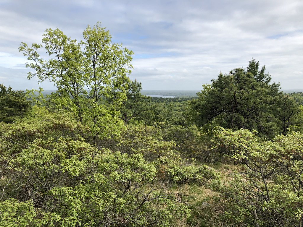 Savoy PathHiking · ~29 min drivePhoto: clembore, CC BY-SA 2.0 (via Flickr)
- Red Dot LoopHiking · ~30 min drivePhoto: clembore, CC BY-SA 2.0 (via Flickr)
 Quarries Foot PathHiking · ~32 min drivePhoto: Ktr101, CC BY-SA 2.0 (via Flickr)
Best time to visit North Fork Preserve Trail
Best months: April–October. Best months have typical highs of 55–85 °F, lows of 30 °F or warmer (32 °F where the station doesn't record snow), at most one snowy day and no more than 12 wet days.
Jan
38° / 17°
10 wet
Feb
40° / 18°
10 wet
Mar
47° / 26°
10 wet
Apr
58° / 35°
12 wet
May
68° / 45°
12 wet
Jun
77° / 54°
11 wet
Jul
83° / 60°
9 wet
Aug
81° / 58°
8 wet
Sep
74° / 50°
9 wet
Oct
63° / 40°
12 wet
Nov
53° / 31°
11 wet
Dec
43° / 24°
11 wet
Typical high / low (°F) and days with rain or snow, 1991–2020. Measured at Bridgewater, MA, 3.2 mi away at 40 ft. This station doesn't record snowfall. Source: NOAA NCEI U.S. Climate Normals 1991–2020.
Map and trail data © OpenStreetMap contributors
