Juniper Trail
- 0.8 mi
- round trip
- 218 ft
- climb
- 392 ft
- high point
- Out and back
- route
- Apr–Oct
- best months
Juniper Trail is an easy, short out-and-back hike in Massachusetts, about 2 miles from the town of Nobscot. The route is roughly 1.5 miles long, and the round trip climbs about 218 feet from a start elevation of 314 feet to a high point of 392 feet. The steepest stretch comes early on, at about 0.16 miles from the trailhead, where the grade reaches 24 percent. Late spring and early fall are the most comfortable times to go. Typical averages from a nearby weather station in Natick run to highs around 68°F in May and 73°F in September, with July the warmest month at about 82°F. The hike takes about half an hour. Birch Trail and Lady Slipper Trail both lie about 0.1 mile away, and the Eagle hike is 0.2 mile off. For something different, Tippling Rock offers climbing about 2.8 miles away.
 Birch TrailHikingPhoto: GabrielaP93, CC BY 2.0 (via Flickr)0.1 mi
- Lady Slipper TrailHiking0.1 mi
- EagleHiking0.2 mi
- Tippling RockRock climbing2.8 mi
 Sudbury RiverCanoeingPhoto: John Phelan, CC BY 3.0 (via Wikimedia Commons)4.7 mi
- Hopkinton State ParkRock climbing4.9 mi
- Peter's HillRock climbing6.4 mi
- Assabet RiverRiver fishing6.9 mi
Source: Roamze catalog (indexable pages within 10 miles, PostGIS distance)
- Fox Hunt TrailHiking · Next doorPhoto: GabrielaP93, CC BY 2.0 (via Flickr)
- PipelineHiking · ~1 min drivePhoto: GabrielaP93, CC BY 2.0 (via Flickr)
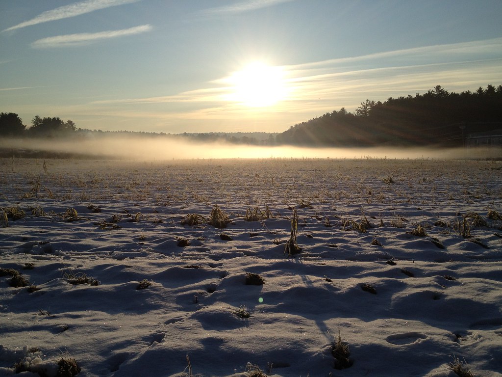 Flying Squirrel TrailHiking · ~2 min drivePhoto: fromdarkheaven, CC BY-SA 2.0 (via Flickr)
- Acorn TrailHiking · ~3 min drivePhoto: fromdarkheaven, CC BY-SA 2.0 (via Flickr)
 Red DiamondHiking · ~5 min drivePhoto: clembore, CC BY-SA 2.0 (via Flickr)
- Blue DiamondHiking · ~6 min drivePhoto: clembore, CC BY-SA 2.0 (via Flickr)
 Green DiamondHiking · ~6 min drivePhoto: clembore, CC BY-SA 2.0 (via Flickr)
 Plymton TrailHiking · ~6 min drivePhoto: U. S. Fish and Wildlife Service - Northeast Region, Public domain (via Wikimedia Commons)
 Desert Loop TrailHiking · ~6 min drivePhoto: U. S. Fish and Wildlife Service - Northeast Region, Public domain (via Wikimedia Commons)
 Old Pine TrailHiking · ~7 min drivePhoto: U. S. Fish and Wildlife Service - Northeast Region, Public domain (via Wikimedia Commons)
Best time to visit Juniper Trail
Best months: April–October. Best months have typical highs of 55–85 °F, lows of 30 °F or warmer (32 °F where the station doesn't record snow), at most one snowy day and no more than 12 wet days.
Jan
35° / 17°
10 wet
Feb
38° / 18°
9 wet
Mar
46° / 25°
10 wet
Apr
58° / 35°
11 wet
May
68° / 46°
12 wet
Jun
76° / 56°
11 wet
Jul
82° / 62°
10 wet
Aug
80° / 59°
10 wet
Sep
73° / 52°
9 wet
Oct
62° / 40°
11 wet
Nov
51° / 31°
10 wet
Dec
41° / 23°
11 wet
Typical high / low (°F) and days with rain or snow, 1991–2020. Measured at Natick, MA, 7 mi away at 180 ft. This station doesn't record snowfall. Source: NOAA NCEI U.S. Climate Normals 1991–2020.

Map and trail data © OpenStreetMap contributors
