Hermann Orchard Trail
- 1.5 mi
- round trip
- 810 ft
- climb
- 418 ft
- high point
- Out and back
- route
- Apr, Jul–Oct
- best months
Hermann Orchard Trail is a 3-mile out-and-back hike in Massachusetts, about a mile from the town of Harvard. The route rises steadily from a low point of 278 feet to a high of 418 feet, with a total elevation gain of 810 feet over the round trip. The climb is easiest to break into two halves, and the steepest stretch comes at about the 1-mile mark, where the grade reaches 13 percent. Late spring and early fall are the most comfortable times to go. Typical averages from a nearby weather station in Fitchburg show May highs around 70°F and September highs around 74°F, with July peaking near 83°F. The hike takes about 1.5 hours. The trail is close to other outings, including the climbing area Harrrvard Yarrrd, about 0.4 miles away, and the Mirror Lake Trail and Goddard Trail, each about 1.6 miles off. For an overnight stay, Spacious Skies Campgrounds - Minute Man is about 3.4 miles away.
- Harrrvard YarrrdRock climbing0.4 mi
 Mirror Lake Trail (primary)HikingPhoto: U. S. Fish and Wildlife Service - Northeast Region, Public domain (via Wikimedia Commons)1.6 mi
 Goddard TrailHikingPhoto: clembore, CC BY-SA 2.0 (via Flickr)1.6 mi
 Vesenka Loop (Blue Blaze)HikingPhoto: inkknife_2000 (7.5 million views +), CC BY-SA 2.0 (via Wikimedia Commons)2.4 mi
- Spacious Skies Campgrounds - Minute ManCamping3.4 mi
- Trashcan BoulderRock climbing3.9 mi
- Fort Pond BrookCanoeing7.2 mi
- Assabet RiverRiver fishing7.8 mi
Source: Roamze catalog (indexable pages within 10 miles, PostGIS distance)
- Mirror Lake Trail (primary)Hiking · ~3 min drivePhoto: U. S. Fish and Wildlife Service - Northeast Region, Public domain (via Wikimedia Commons)
- Goddard TrailHiking · ~3 min drivePhoto: clembore, CC BY-SA 2.0 (via Flickr)
- Vesenka Loop (Blue Blaze)Hiking · ~4 min drivePhoto: inkknife_2000 (7.5 million views +), CC BY-SA 2.0 (via Wikimedia Commons)
 Bill Ashe TrailHiking · ~5 min drivePhoto: clembore, CC BY-SA 2.0 (via Flickr)
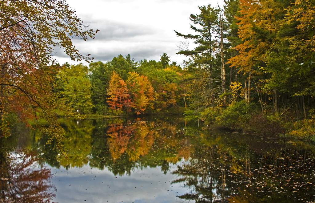 Hager TrailHiking · ~5 min drivePhoto: Muffet, CC BY 2.0 (via Flickr)
 Sprague Primary TrailHiking · ~5 min drivePhoto: Paul J. Morris, CC BY-SA 2.0 (via Flickr)
 Esker Loop TrailHiking · ~7 min drivePhoto: Bob Burkhardt, CC BY 3.0 (via Wikimedia Commons)
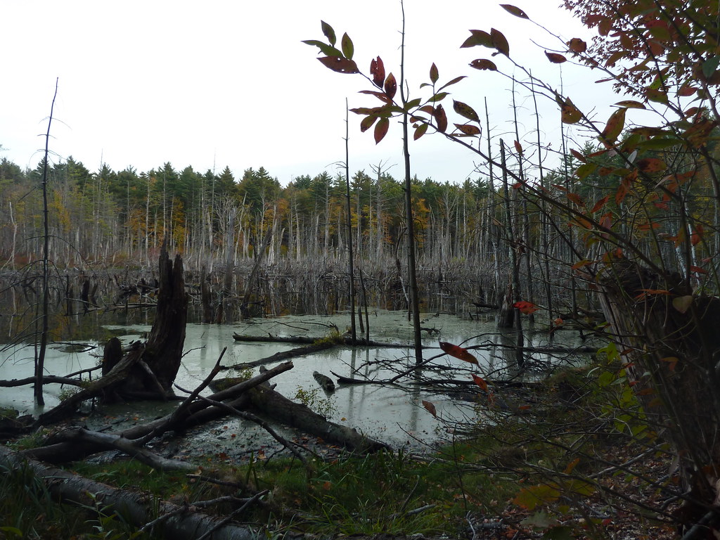 Bolton Flats TrailHiking · ~7 min drivePhoto: Paul J. Morris, CC BY-SA 2.0 (via Flickr)
 Delaney South LoopHiking · ~8 min drivePhoto: fromdarkheaven, CC BY-SA 2.0 (via Flickr)
- Primary TrailHiking · ~8 min drivePhoto: fromdarkheaven, CC BY-SA 2.0 (via Flickr)
Best time to visit Hermann Orchard Trail
Best months: April and July–October. Best months have typical highs of 55–85 °F, lows of 30 °F or warmer (32 °F where the station doesn't record snow), at most one snowy day and no more than 12 wet days.
Jan
34° / 16°
11 wet
Feb
37° / 17°
9 wet
Mar
45° / 25°
11 wet
Apr
58° / 35°
12 wet
May
70° / 46°
13 wet
Jun
78° / 56°
13 wet
Jul
83° / 61°
12 wet
Aug
82° / 60°
12 wet
Sep
74° / 51°
11 wet
Oct
62° / 40°
12 wet
Nov
50° / 30°
11 wet
Dec
40° / 22°
11 wet
Typical high / low (°F) and days with rain or snow, 1991–2020. Measured at Fitchburg Muni Ap, MA, 9.2 mi away at 348 ft. This station doesn't record snowfall. Source: NOAA NCEI U.S. Climate Normals 1991–2020.
Map and trail data © OpenStreetMap contributors
