T-Rex
 Photo: Qfamily, CC BY 2.0 (via Flickr)
- 0.4 mi
- round trip
- 118 ft
- climb
- 510 ft
- high point
- Out and back
- route
- Apr, Jun–Oct
- best months
T-Rex is a short, easy hike in western Massachusetts, about 1.5 miles from the town of Aldrich Mills. The route is an out-and-back of roughly 0.8 miles, with a total climb of about 118 feet. The trail starts near 500 feet and reaches a high point of about 510 feet, with the steepest stretch coming early on, around 10% grade. Late spring through early fall is the most comfortable time to go. Typical averages from the nearby Belchertown weather station show highs around 68°F in May and 73°F in September, with July peaking near 82°F. Several other outings sit close by. The Raptor hike is about 0.2 miles away, and the mountain biking trails Em's Gem and Serpentine are each about 0.2 miles off. For time on the water, the Fort River offers canoeing about 5 miles away.
Best time to go · Apr, Jun–Oct
Best time to visit T-Rex
Best months: April and June–October. Best months have typical highs of 55–85 °F, lows of 30 °F or warmer (32 °F where the station doesn't record snow), at most one snowy day and no more than 12 wet days.
Jan
33° / 15°
11 wet
Feb
35° / 15°
10 wet
Mar
44° / 24°
11 wet
Apr
57° / 34°
11 wet
May
68° / 45°
13 wet
Jun
77° / 54°
12 wet
Jul
82° / 60°
11 wet
Aug
80° / 58°
11 wet
Sep
73° / 51°
10 wet
Oct
60° / 40°
11 wet
Nov
49° / 31°
10 wet
Dec
38° / 22°
11 wet
Typical high / low (°F) and days with rain or snow, 1991–2020. Measured at Belchertown, MA, 8.7 mi away at 550 ft. This station doesn't record snowfall. Source: NOAA NCEI U.S. Climate Normals 1991–2020.
Keep exploring — more trails worth the drive
Photo: Qfamily, CC BY 2.0 (via Flickr)Em’s Gem
Next door
0.47-mile out-and-back trail in Massachusetts with 34 ft of elevation gain.
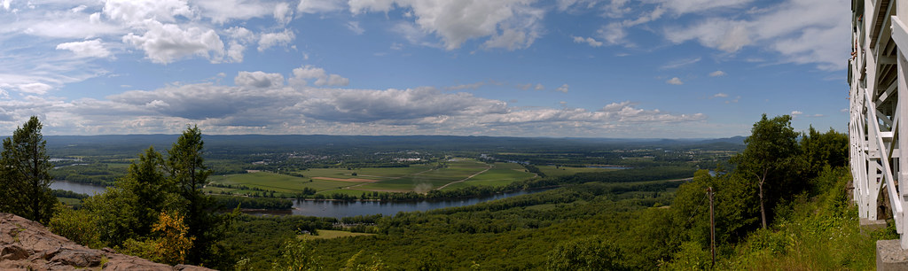 Photo: 6SN7, CC BY 2.0 (via Flickr)
Robert Frost Trail
~6 min drive
A 38-mile point-to-point trail through central Massachusetts woodlands and farmland.
HIKE
Old Carriage Trail
~15 min drive
2.24-mile out-and-back trail in Massachusetts with 321 ft elevation gain.
 Photo: Mehrashk, CC BY-SA 4.0 (via Wikimedia Commons)
Raptor
Next door
0.47-mile out-and-back trail in Massachusetts with 49 ft gain
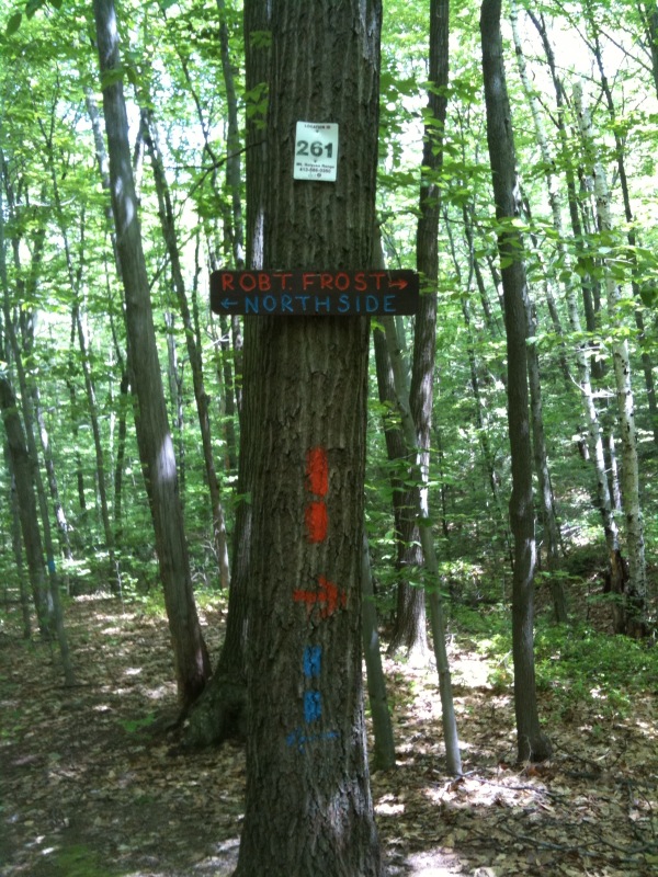 Photo: Qfamily, CC BY 2.0 (via Flickr)
South Side Trail
Next door
2.5-mile out-and-back trail in Massachusetts with 494 ft elevation gain.
Photo: Qfamily, CC BY 2.0 (via Flickr)Lower
Next door
Lower is a 1.17-mile out-and-back trail in Massachusetts with 215 ft of elevation gain.
Photo: Qfamily, CC BY 2.0 (via Flickr)Roller Coaster
Next door
1.32-mile out-and-back trail in Massachusetts with 62 ft gain.
Photo: Mehrashk, CC BY-SA 4.0 (via Wikimedia Commons)Main
~2 min drive
0.32-mile out-and-back trail in Massachusetts with 67 ft gain.
Photo: Mehrashk, CC BY-SA 4.0 (via Wikimedia Commons)Better
~2 min drive
0.42-mile out-and-back trail in Massachusetts with 67 ft of elevation gain.
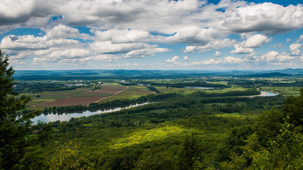 Photo: allenran 917, CC BY 2.0 (via Flickr)
Lithia Springs Trail
~5 min drive
3.54-mile out-and-back hike in Massachusetts with 720 ft elevation gain.

Map and trail data © OpenStreetMap contributors
