Father Loop Trail
- 3.6 mi
- one way
- 970 ft
- climb
- 1,639 ft
- high point
- Point to point
- route
- Apr–Oct
- best months
Clear at last check
Weather is good · OpenWeather · checked 22 h ago
Father Loop Trail is a 3.6-mile point-to-point hike in western Massachusetts, crossing from a low point of about 1,138 feet to a high of roughly 1,639 feet with a total climb of 970 feet. The route is rated easy and takes about 1.5 hours to complete. The nearest town is Green River, New York, about 2 miles away. The trail works well for riders and pack animals as well as hikers. Bikes and horses are both allowed. The steepest stretch comes at about 2.9 miles, where the grade reaches 46 percent, so plan for that before heading out. Late spring and early fall are the most comfortable times to go. Typical averages from a nearby weather station run to highs around 69°F in May and 72°F in September, with July peaking near 82°F. That station sits about 635 feet lower than the trail, so temperatures on the route run cooler. Mother Loop Trail starts just 0.3 miles away, and Longview Loop Trail is about 2.4 miles off. Paddlers can reach the Williams River, about 4.4 miles away, and campers can look to Spacious Skies Campgrounds - Woodland Hills, roughly 6 miles out.
Local outfitters
- Catskill Outfitters47 mi away
Not on Roamze yet. Their page has how to reach them.
- Mother Loop TrailHiking0.3 mi
 Longview Loop TrailHikingPhoto: genericface, CC BY-SA 2.0 (via Flickr)2.4 mi
- Williams RiverCanoeing4.4 mi
- Simon's Rock Interpretive TrailHiking4.5 mi
 Harvey mountain (red)HikingPhoto: andyarthur, CC BY 2.0 (via Flickr)4.7 mi
- Willow's Trail (orange)Hiking4.8 mi
 Unmaintained trailHikingPhoto: clembore, CC BY-SA 2.0 (via Flickr)4.9 mi
- Spacious Skies Campgrounds - Woodland HillsCamping6.1 mi
Source: Roamze catalog (indexable pages within 10 miles, PostGIS distance)
- Longview Loop TrailHiking · ~4 min drivePhoto: genericface, CC BY-SA 2.0 (via Flickr)
- Harvey mountain (red)Hiking · ~8 min drivePhoto: andyarthur, CC BY 2.0 (via Flickr)
- Appalachian TrailHiking · ~15 min drive
 Hickey and Peeskawso LoopHiking · ~9 min drivePhoto: clembore, CC BY-SA 2.0 (via Flickr)
- Unmaintained trailHiking · ~8 min drivePhoto: clembore, CC BY-SA 2.0 (via Flickr)
- Appalachian TrailHiking · ~17 min drive
 Old Taconic Skyline TrailHiking · ~11 min drivePhoto: clembore, CC BY-SA 2.0 (via Flickr)
 Threemile Hill TrailHiking · ~9 min drivePhoto: clembore, CC BY-SA 2.0 (via Flickr)
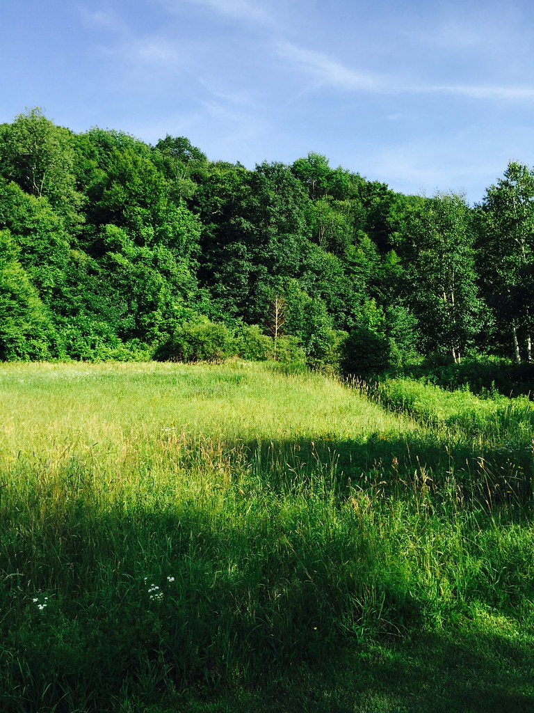 Hiking Trail (Summer)Hiking · ~11 min drivePhoto: noramorgan, CC BY 2.0 (via Flickr)
 Horse Trail (yellow)Hiking · ~10 min drivePhoto: andyarthur, CC BY 2.0 (via Flickr)
Best time to visit Father Loop Trail
Best months: April–October. Best months have typical highs of 55–85 °F, lows of 30 °F or warmer (32 °F where the station doesn't record snow), at most one snowy day and no more than 12 wet days.
Jan
32° / 13°
Feb
35° / 13°
Mar
43° / 21°
Apr
56° / 32°
May
69° / 43°
Jun
77° / 52°
Jul
82° / 57°
Aug
81° / 55°
Sep
72° / 48°
Oct
59° / 37°
Nov
47° / 28°
Dec
36° / 19°
Typical high / low (°F) and days with rain or snow, 1991–2020. Measured at Lenox Dale, MA, 11 mi away at 1,004 ft. The station sits about 600 ft lower than this place, so expect it a little cooler here. This station doesn't record snowfall. Source: NOAA NCEI U.S. Climate Normals 1991–2020.

Map and trail data © OpenStreetMap contributors
