Chumbawumba Trail
- 1.1 mi
- round trip
- 316 ft
- climb
- 337 ft
- high point
- Out and back
- route
- Apr, Jul
- best months
Chumbawumba Trail is a short, easy hike in western Massachusetts, about 1.2 miles from the town of Amostown. The trail is an out-and-back route of about 2.1 miles, with a total climb of 316 feet and a steady grade that peaks at about 6% near the 1-mile mark. The one-way elevation gain is 177 feet. Late spring and early fall are the most comfortable times to go. Typical averages from a nearby weather station in Westfield show May highs around 72°F and September highs around 75°F, while July averages about 85°F. The trail sits close to several other routes. Bearhole Reservoir Road and Hemlock Ridge Trail are both about 0.1 mile away, and the Adrenalize Trail is about 2.4 miles off. For time on the water, the Connecticut River is about 4.7 miles away.
- Bearhole Reservoir RoadMountain biking0.1 mi
- Hemlock Ridge TrailMountain biking0.1 mi
- Hemlock Ridge Trail ExtensionMountain biking0.5 mi
- Adrenalize TrailHiking2.4 mi
- Connecticut RiverRiver fishing4.7 mi
 Manhan RiverCanoeingPhoto: John Phelan, CC BY 4.0 (via Wikimedia Commons)8.1 mi
- Muddy BrookCanoeing9.2 mi
- Westfield River - Middle BranchRiver fishing9.5 mi
Source: Roamze catalog (indexable pages within 10 miles, PostGIS distance)
 Westfield River TrailHiking · ~5 min drivePhoto: P_Linehan, CC BY 2.0 (via Flickr)
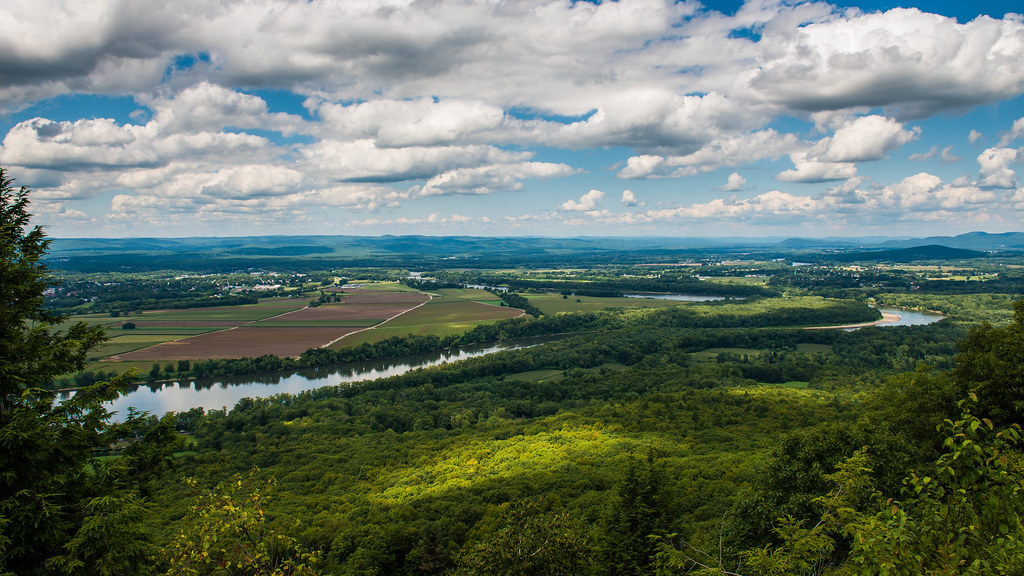 Lithia Springs TrailHiking · ~21 min drivePhoto: allenran 917, CC BY 2.0 (via Flickr)
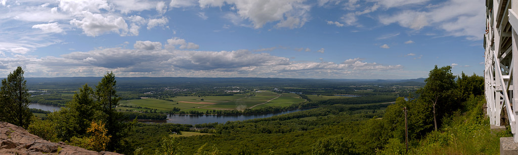 Robert Frost TrailHiking · ~22 min drivePhoto: 6SN7, CC BY 2.0 (via Flickr)
- Agawam River TrailHiking · ~12 min drive
 Walnut Trees PathHiking · ~22 min drivePhoto: allenran 917, CC BY 2.0 (via Flickr)
- Charcoal Kiln TrailHiking · ~16 min drive
 Yellow TrailHiking · ~22 min drivePhoto: jjbers, CC BY 2.0 (via Flickr)
- Shatterack path (white)Hiking · ~16 min drive
 BetterHiking · ~22 min drivePhoto: Mehrashk, CC BY-SA 4.0 (via Wikimedia Commons)
- Old Carriage TrailHiking · ~23 min drive
Best time to visit Chumbawumba Trail
Best months: April, July and September–October. Best months have typical highs of 55–85 °F, lows of 30 °F or warmer (32 °F where the station doesn't record snow), at most one snowy day and no more than 12 wet days.
Jan
35° / 16°
10 wet
Feb
38° / 17°
9 wet
Mar
47° / 26°
11 wet
Apr
60° / 35°
12 wet
May
72° / 46°
13 wet
Jun
80° / 55°
13 wet
Jul
85° / 61°
12 wet
Aug
83° / 59°
13 wet
Sep
75° / 51°
12 wet
Oct
63° / 39°
11 wet
Nov
51° / 30°
10 wet
Dec
40° / 22°
11 wet
Typical high / low (°F) and days with rain or snow, 1991–2020. Measured at Westfield Barnes Muni Ap, MA, 2.4 mi away at 271 ft. This station doesn't record snowfall. Source: NOAA NCEI U.S. Climate Normals 1991–2020.
Map and trail data © OpenStreetMap contributors
