Chestnut Hill
- 541 ft
- summit
- 1
- way up
- Apr–Jun, Aug–Nov
- best months
Chestnut Hill is a summit in Maryland, rising to 541 feet about 2.4 miles from Ellicott City. It sits close to a cluster of trails and climbing areas, making it an easy addition to a day spent exploring the surrounding network of paths and boulders. Spring and fall are the most comfortable times to visit. Typical averages from a nearby weather station at Cylburn, which sits about 300 feet lower, show May highs around 73°F and October highs around 66°F, with July peaking near 86°F. Peaceful Pond Trail and Outside of Range, a mountain biking route, both lie about 0.2 miles away. Pickall Trail is roughly 0.8 miles off, and the Alberton Boulders climbing area is about 1.4 miles away.
Conditions and forecast
Daily highs and lows, wind and the chance of precipitation at the summit and route start for the next 7 days, from the Open-Meteo model.
- Summit elevation
- 541 ft
Elevation from USGS 3D Elevation Program terrain data (about 10 m resolution).
Map © Mapbox © OpenStreetMap contributors Questions about Chestnut Hill
How tall is Chestnut Hill?
541 ft (165 m).
How many routes go to the summit of Chestnut Hill?
One: Peaceful Pond Trail.
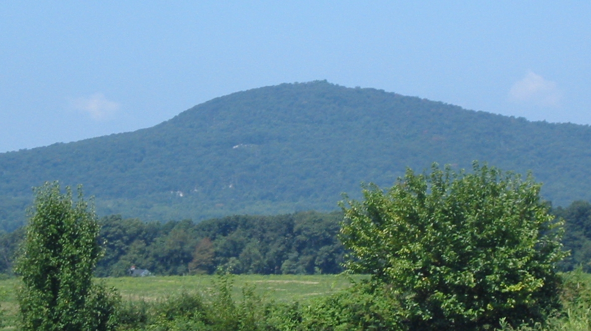 Sugar Loaf Mountain1,274 ft · Maryland1 route32 mi awayPhoto: Lowell Silverman at English Wikipedia, Public domain (via Wikimedia Commons)
- Nokes Hill430 ft · Virginia3 routes38 mi away
- High Knob1,555 ft · Maryland2 routes39 mi away
 Chimney Rock1,397 ft · Maryland2 routes41 mi awayPhoto: Unknown authorUnknown author or not provided, Public domain (via Wikimedia Commons)
- Round Top783 ft · Pennsylvania2 routes41 mi away
- Little Round Top668 ft · Pennsylvania2 routes42 mi away
 Peaceful Pond TrailHikingPhoto: Elliott R. Plack, CC BY-SA 4.0 (via Wikimedia Commons)0.2 mi
- Outside of RangeMountain biking0.2 mi
 Pickall TrailHikingPhoto: Elliott R. Plack, CC BY-SA 4.0 (via Wikimedia Commons)0.8 mi
 Schools Out LoopHikingPhoto: cdsessums, CC BY-SA 2.0 (via Flickr)0.9 mi
- Frameshift BoulderRock climbing1.4 mi
- Alberton BouldersRock climbing1.4 mi
- Alberton RockRock climbing1.5 mi
- Middle Patuxent RiverCanoeing7.8 mi
Source: Roamze catalog (indexable pages within 10 miles, PostGIS distance)
- Sugar Loaf MountainSummit · ~55 min drivePhoto: Lowell Silverman at English Wikipedia, Public domain (via Wikimedia Commons)
 Minor HillSummit · ~57 min drivePhoto: Linguistical, CC BY-SA 4.0 (via Wikimedia Commons)
 Upton HillSummit · ~59 min drivePhoto: Mdy66, CC BY-SA 4.0 (via Wikimedia Commons)
 Furnace MountainSummit · ~1h 10m drivePhoto: Arbogastlw at English Wikipedia, Public domain (via Wikimedia Commons)
- Chimney RockSummit · ~1h 10m drivePhoto: Unknown authorUnknown author or not provided, Public domain (via Wikimedia Commons)
 Catoctin MountainSummit · ~1h 14m drivePhoto: Vegemighty (talk), CC0 (via Wikimedia Commons)
 Lambs KnollSummit · ~1h 18m drivePhoto: Joe Calzarette, Public domain (via Wikimedia Commons)
 Monument KnobSummit · ~1h 20m drivePhoto: Zeete, CC BY-SA 4.0 (via Wikimedia Commons)
 Black RockSummit · ~1h 20m drivePhoto: Zeete, CC BY-SA 4.0 (via Wikimedia Commons)
 High RockSummit · ~1h 22m drivePhoto: Acroterion, CC BY-SA 4.0 (via Wikimedia Commons)
Also worth it near here
- Peaceful Pond TrailHiking · Next doorPhoto: Elliott R. Plack, CC BY-SA 4.0 (via Wikimedia Commons)
- Hollofield Area CampingCamping · ~1 min drive
 Friction WallRock climbing · ~4 min drivePhoto: Jstuby, CC BY-SA 3.0 (via Wikimedia Commons)
 Grist Mill TrailMountain biking · ~7 min drivePhoto: Bohemian Baltimore, CC BY-SA 4.0 (via Wikimedia Commons)
Best time to visit Chestnut Hill
Best months: April–June and August–November. Best months have typical highs of 55–85 °F, lows of 30 °F or warmer (32 °F where the station doesn't record snow), at most one snowy day and no more than 12 wet days.
Jan
42° / 27°
Feb
46° / 28°
Mar
54° / 34°
Apr
66° / 45°
May
73° / 55°
Jun
82° / 64°
Jul
86° / 69°
Aug
84° / 67°
Sep
77° / 60°
Oct
66° / 49°
Nov
56° / 39°
Dec
46° / 31°
Typical high / low (°F) and days with rain or snow, 1991–2020. Measured at Cylburn, MD, 8.6 mi away at 235 ft. This station doesn't record snowfall. Source: NOAA NCEI U.S. Climate Normals 1991–2020.
