Return Trail
- 0.1 mi
- round trip
- 38 ft
- climb
- Singletrack
- surface
- Out and back
- route
- Apr–Jun, Aug–Nov
- best months
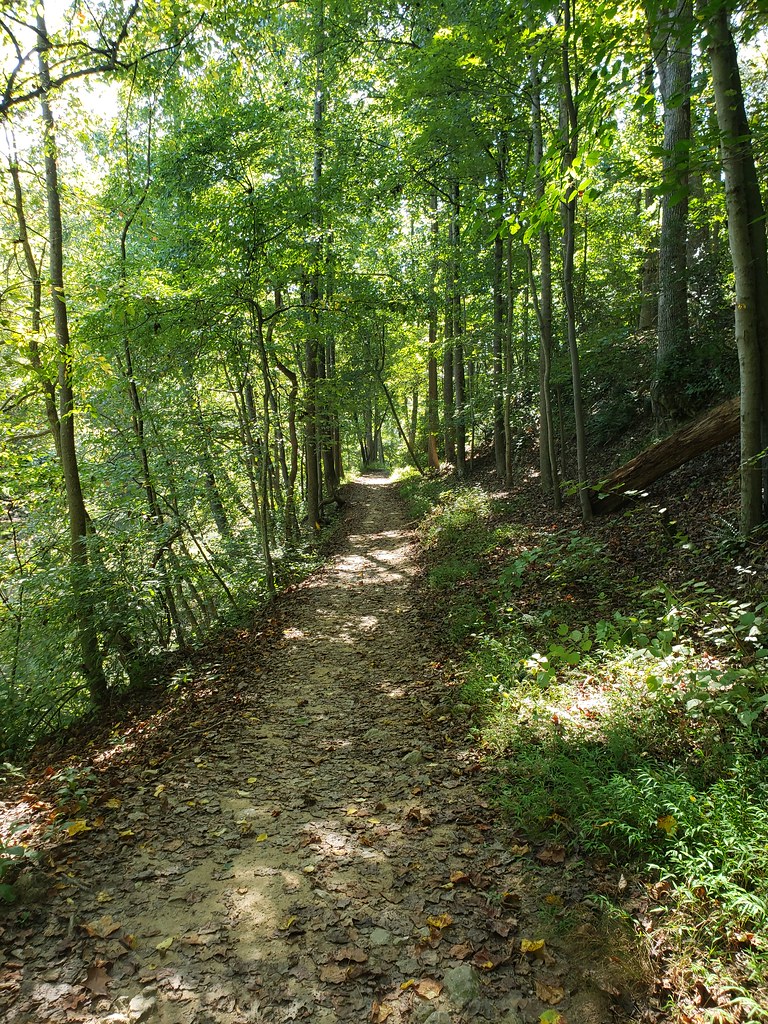
Return Trail is a short, flat mountain biking route in Maryland, about 0.4 miles from the community of Glenallen. The trail is an out-and-back with a total length of about 0.2 miles and a total elevation gain of 38 feet, so it's an easy ride that starts and ends at nearly the same level. The route is flat, with the high point at 379 feet and the low point at 367 feet. The steepest stretch comes at about 0.05 miles in, with a grade of about 3 percent. Dogs are not allowed on this trail. For timing, late spring and early fall are the most comfortable. Typical averages from a nearby weather station in Rockville show May highs around 74°F and September highs around 77°F, while July averages about 87°F. The Beginner Bike Trail and Intermediate Bike Trail both sit about 0.1 miles away, and Pine Lake Trail is about 0.2 miles off for hikers. Paddlers can reach the Northwest Branch Anacostia River about 2.1 miles away.
Local outfitters
- Terrapin Adventures13 mi away
Not on Roamze yet. Their page has how to reach them.
Best time to go · Apr–Jun, Aug–Nov
Best time to visit Return Trail
Best months: April–June and August–November. Best months have typical highs of 55–85 °F, lows of 30 °F or warmer (32 °F where the station doesn't record snow), at most one snowy day and no more than 12 wet days.
Jan
42° / 27°
10 wet
Feb
45° / 28°
8 wet
Mar
54° / 36°
11 wet
Apr
66° / 46°
11 wet
May
74° / 55°
11 wet
Jun
82° / 64°
10 wet
Jul
87° / 69°
9 wet
Aug
85° / 67°
8 wet
Sep
77° / 60°
9 wet
Oct
66° / 48°
8 wet
Nov
56° / 38°
8 wet
Dec
46° / 31°
10 wet
Typical high / low (°F) and days with rain or snow, 1991–2020. Measured at Rockville 1 Ne, MD, 6.6 mi away at 440 ft. This station doesn't record snowfall. Source: NOAA NCEI U.S. Climate Normals 1991–2020.
Keep exploring — more rides worth the drive
 Photo: G. Edward Johnson, CC BY 3.0 (via Wikimedia Commons)
Northwest Branch Trail
~2 min drive
0.24-mile out-and-back gravel trail in Maryland with 25 ft of elevation gain.
RIDE
Intermediate Bike Trail
Next door
0.23-mile moderate singletrack out-and-back in Maryland, 46 ft elevation gain.
Photo: G. Edward Johnson, CC BY 3.0 (via Wikimedia Commons)Northwest Branch Trail
~2 min drive
0.46-mile easy gravel road trail in Maryland with 18 ft elevation gain.
Photo: G. Edward Johnson, CC BY 3.0 (via Wikimedia Commons)Northwest Branch Trail
~3 min drive
0.98-mile easy singletrack with 483 ft gain in Maryland
Photo: G. Edward Johnson, CC BY 3.0 (via Wikimedia Commons)Northwest Branch Trail
~3 min drive
0.12-mile easy singletrack in Maryland with 37 ft of elevation gain.
Photo: G. Edward Johnson, CC BY 3.0 (via Wikimedia Commons)Northwest Branch Trail
~4 min drive
0.22-mile easy singletrack in Maryland with 48 ft gain.
Photo: G. Edward Johnson, CC BY 3.0 (via Wikimedia Commons)Northwest Branch Trail
~4 min drive
0.18-mile easy singletrack in Maryland with 142 ft elevation gain
Photo: G. Edward Johnson, CC BY 3.0 (via Wikimedia Commons)Northwest Branch Trail
~4 min drive
0.12-mile easy singletrack out-and-back with 82 ft gain in Maryland
RIDE
Beginner Bike Trail
Next door
Beginner Bike Trail is a 0.14-mile out-and-back singletrack in Maryland with 83 ft of elevation gain.
RIDE
Return Trail
Next door
0.17-mile easy singletrack out-and-back in Maryland with 42 ft gain.

Map and trail data © OpenStreetMap contributors
