Northwest Branch Trail
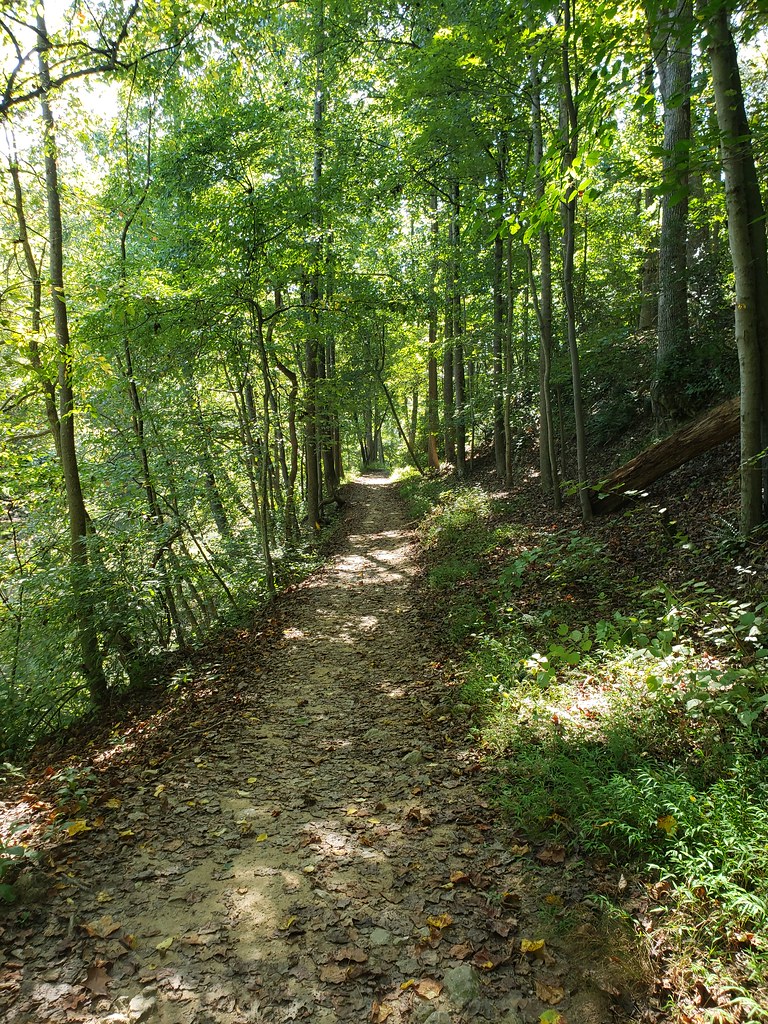
 Photo: G. Edward Johnson, CC BY 3.0 (via Wikimedia Commons)
- 0.5 mi
- round trip
- 28 ft
- climb
- Gravel Road
- surface
- Out and back
- route
- Apr–Jun, Sep–Nov
- best months
Clear at last check
Weather is good · OpenWeather · checked 21 h ago
Northwest Branch Trail is a short, flat mountain biking route in Maryland, about half a mile from the town of Springwood. The trail is an easy out-and-back, with the high point at 266 feet and the low at 258 feet. The climb profile is flat, and the total gain and loss are each about 28 feet, so it's a ride that stays nearly level. Springwood is the closest town, about 0.3 miles away. The trail is about 0.9 miles long in total, making it a quick stop for a short ride. For comfortable weather, aim for late spring or early fall. Typical averages from the nearby Beltsville weather station put May highs around 74°F and September highs near 79°F, with July peaking at about 87°F. The Timberdoodle Trail and Wheaton Way are both about 0.6 miles away, and the Heart Smart Trail is about 0.9 miles off. Paddlers can reach the Northwest Branch Anacostia River, about 1.3 miles away.
Local outfitters
- Terrapin Adventures12 mi away
Not on Roamze yet. Their page has how to reach them.
- Timberdoodle TrailHiking0.6 mi
- Wheaton WayHiking0.6 mi
- Heart Smart TrailHiking0.9 mi
 Northwest Branch Anacostia RiverCanoeingPhoto: Paul from USA, CC BY-SA 2.0 (via Wikimedia Commons)1.3 mi
- Downstream Slab AKA Snowflake FaceRock climbing2.3 mi
- Upstream SlabRock climbing2.3 mi
- Little Falls BranchCanoeing8.3 mi
- Greenbelt Park Picnic AreasCamping8.7 mi
Source: Roamze catalog (indexable pages within 10 miles, PostGIS distance)
- Northwest Branch TrailMountain biking · Next doorPhoto: G. Edward Johnson, CC BY 3.0 (via Wikimedia Commons)
- Intermediate Bike TrailMountain biking · ~2 min drive
- Northwest Branch TrailMountain biking · ~2 min drivePhoto: G. Edward Johnson, CC BY 3.0 (via Wikimedia Commons)
- Northwest Branch TrailMountain biking · ~3 min drivePhoto: G. Edward Johnson, CC BY 3.0 (via Wikimedia Commons)
- Northwest Branch TrailMountain biking · ~3 min drivePhoto: G. Edward Johnson, CC BY 3.0 (via Wikimedia Commons)
- Northwest Branch TrailMountain biking · ~3 min drivePhoto: G. Edward Johnson, CC BY 3.0 (via Wikimedia Commons)
- Northwest Branch TrailMountain biking · ~4 min drivePhoto: G. Edward Johnson, CC BY 3.0 (via Wikimedia Commons)
- Return TrailMountain biking · ~2 min drive
- Return TrailMountain biking · ~2 min drive
- Beginner Bike TrailMountain biking · ~2 min drive
Also worth it near here
- Northwest Branch Anacostia RiverCanoeing · ~2 min drivePhoto: Paul from USA, CC BY-SA 2.0 (via Wikimedia Commons)
 Northwood-Chesapeake Bay TrailHiking · ~3 min drivePhoto: inkdroid, CC BY 2.0 (via Flickr)
- Downstream Slab AKA Snowflake FaceRock climbing · ~4 min drive
- Cherry Hill ParkCamping · ~8 min drive
Best time to visit Northwest Branch Trail
Best months: April–June and September–November. Best months have typical highs of 55–85 °F, lows of 30 °F or warmer (32 °F where the station doesn't record snow), at most one snowy day and no more than 12 wet days.
Jan
43° / 25°
10 wet
Feb
45° / 27°
9 wet
Mar
53° / 34°
10 wet
Apr
65° / 44°
11 wet
May
74° / 54°
11 wet
Jun
83° / 63°
10 wet
Jul
87° / 68°
10 wet
Aug
86° / 66°
9 wet
Sep
79° / 59°
8 wet
Oct
68° / 47°
9 wet
Nov
57° / 37°
9 wet
Dec
47° / 30°
10 wet
Typical high / low (°F) and days with rain or snow, 1991–2020. Measured at Beltsville, MD, 5.3 mi away at 145 ft. This station doesn't record snowfall. Source: NOAA NCEI U.S. Climate Normals 1991–2020.
Map and trail data © OpenStreetMap contributors
