Western Ridge Trail
- 1.8 mi
- one way
- 253 ft
- climb
- 309 ft
- high point
- Point to point
- route
- Mar–Jun, Sep–Nov
- best months
Is Western Ridge Trail open right now?
Closure in the area
There's a closure order in Rock Creek Park. It doesn't name Western Ridge Trail, so check the source for the area it covers (3 listed).
Nighttime Road and Trail Closures Begin Nov. 2
Park closure covering Rock Creek Park · NPS · Rock Creek Park
Part of Fort Totten Park remains closed for public safety
Park closure covering Rock Creek Park · NPS · Rock Creek Park
Nature Center and Planetarium Closure
Park closure covering Rock Creek Park · NPS · Rock Creek Park
As of · Source: NPS · Rock Creek Park. Agencies don't list every closure — check before you go.
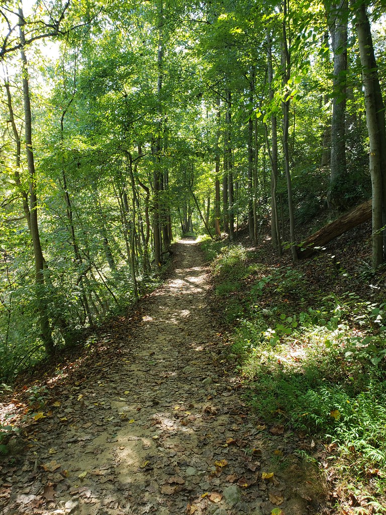
Western Ridge Trail is a 1.8-mile point-to-point hike in Rock Creek Park, a National Park Service unit in Maryland. The trail rises from a low of about 180 feet to a high of about 310 feet, with a total elevation gain of 253 feet and a steepest stretch of about 15% at roughly 1.4 miles. The route is rated hard, and the climb is not one you can take lightly. Spring and fall are the most comfortable times to go. Typical averages from a nearby weather station show May highs around 76°F and October highs around 68°F, while July averages about 88°F. The trail is within the National Park Service's Rock Creek Park, and the land is managed by the National Park Service. There is no fee to hike it, and the route is not open to bikes or horses. Rock Creek Trail, a mountain biking route, lies just 0.1 mile away. Little Falls Branch, a canoeing spot, is about 3.3 miles off, and Franklin Knolls River Trail and Clifton Park River Trail are both within about 3.7 miles.
- Rock Creek TrailMountain biking0.1 mi
- Little Falls BranchCanoeing3.3 mi
- Franklin Knolls River TrailHiking3.6 mi
 Clifton Park River TrailHikingPhoto: Mr.TinMD, CC BY 2.0 (via Flickr)3.7 mi
- South Bank - Roof AreaRock climbing4 mi
- Northwest BranchRock climbing4 mi
 Northwest Branch Anacostia RiverCanoeingPhoto: Paul from USA, CC BY-SA 2.0 (via Wikimedia Commons)6.7 mi
- Greenbelt Park Picnic AreasCamping8.6 mi
Source: Roamze catalog (indexable pages within 10 miles, PostGIS distance)
- Clifton Park River TrailHiking · ~6 min drivePhoto: Mr.TinMD, CC BY 2.0 (via Flickr)
- Copperhead Run TrailHiking · ~7 min drive
- Rachel Carson Greenway TrailHiking · ~8 min drive
 Northwood-Chesapeake Bay TrailHiking · ~7 min drivePhoto: inkdroid, CC BY 2.0 (via Flickr)
- Raven's RunHiking · ~8 min drive
 Prince Georges County Connector TrailHiking · ~8 min drivePhoto: Mr.TinMD, CC BY 2.0 (via Flickr)
 Matthew Henson TrailHiking · ~9 min drivePhoto: TrailVoice, CC BY-SA 2.0 (via Wikimedia Commons)
 Cabin John TrailHiking · ~10 min drivePhoto: Ken_Mayer, CC BY 2.0 (via Flickr)
 Cabin John TrailHiking · ~10 min drivePhoto: Ken_Mayer, CC BY 2.0 (via Flickr)
- Matthew Henson TrailHiking · ~10 min drivePhoto: TrailVoice, CC BY-SA 2.0 (via Wikimedia Commons)
Best time to visit Western Ridge Trail
Best months: March–June and September–November. Best months have typical highs of 55–85 °F, lows of 30 °F or warmer (32 °F where the station doesn't record snow), at most one snowy day and no more than 12 wet days.
Jan
43° / 25°
10 wet
Feb
46° / 27°
9 wet
Mar
55° / 33°
11 wet
Apr
68° / 44°
11 wet
May
76° / 54°
11 wet
Jun
84° / 63°
10 wet
Jul
88° / 68°
10 wet
Aug
86° / 66°
10 wet
Sep
79° / 59°
9 wet
Oct
68° / 47°
10 wet
Nov
56° / 36°
10 wet
Dec
47° / 30°
11 wet
Typical high / low (°F) and days with rain or snow, 1991–2020. Measured at Dalecarlia Rsvr, MD, 4.6 mi away at 150 ft. This station doesn't record snowfall. Source: NOAA NCEI U.S. Climate Normals 1991–2020.

Map and trail data © OpenStreetMap contributors
