Oxon Hill Hiker-Biker Trail
Maryland
Free — you'll pick up right here.
1.8 mi
Distance
181 ft
Gain
We don't cover this trail yet
No agency boundary, access route or field report is mapped to it — so there is no verdict, and we won't guess. We'll tell you the moment this trail has something to say.
Covered nearby
Trails within 25 miles where we do have a current picture.
Nobody's filed a report here yet — be the first.
Why you'll love it
Here's your day, mapped
Oxon Hill Hiker-Biker Trail
Suggested plan · check conditions before you go
Meals
Gear for the day
Elevation & route
- Distance
- 1.8 mi
- Elevation gain
- 181 ft
Photos
Directions & GPX
Permits & access
- Managing agency
- National Park Service
About this trail
Oxon Hill Hiker-Biker Trail is a 3.6-mile out-and-back trail in Maryland with 181 feet of elevation gain. The trail is managed by the National Park Service.
Add to a trip & share
Keep exploring — more trails worth the drive
 Photo: TrailVoice, CC BY-SA 2.0 (via Wikimedia Commons)
Fort Washington Trail
~12 min drive
2.34-mile out-and-back trail in Maryland with 738 ft elevation gain
 Photo: krossbow, CC BY 2.0 (via Flickr)
Piscataway Trail
~15 min drive
4.0-mile out-and-back trail in Maryland with 15 ft of elevation gain.
Rachel Carson Greenway Trail
~17 min drive
A 10.71-mile point-to-point greenway trail through Maryland's natural corridors.
 Photo: krossbow, CC BY 2.0 (via Flickr)
Connector Trail
~12 min drive
Short point-to-point connector trail linking Maryland trailheads.
Farm Paths
~2 min drive
1.28-mile out-and-back trail in Maryland with 33 ft elevation gain.
 Photo: krossbow, CC BY 2.0 (via Flickr)
Purple Trail
~13 min drive
1.28-mile loop in Maryland with 173 ft elevation gain.
Jones Point Self-Guiding Trail
~4 min drive
1.56-mile out-and-back trail in Virginia, National Park Service.
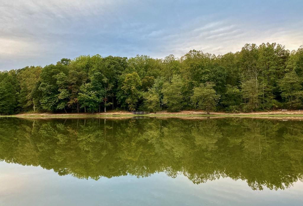 Photo: krossbow, CC BY 2.0 (via Flickr)
Orange Trail
~13 min drive
1.18-mile point-to-point trail in Maryland with 375 ft elevation gain
Jones Point Trail
~4 min drive
Jones Point Trail is a 1.06-mile out-and-back trail in Virginia.
 Photo: krossbow, CC BY 2.0 (via Flickr)
Blue Trail
~13 min drive
Easy 0.95-mile point-to-point trail in Maryland.
