Margraff Red Trail
- 1.3 mi
- one way
- 199 ft
- climb
- 2,898 ft
- high point
- Point to point
- route
- Apr–Oct
- best months
Clear at last check
Weather is good · OpenWeather · checked 23 h ago
The Margraff Red Trail is a short, easy hike in western Maryland, about 1.3 miles long and gaining about 200 feet. It's a point-to-point route, with the high point at about 2,898 feet and the low at about 2,769 feet. The nearest town is Engle Mill, about 0.8 miles away. Bikes are allowed, so the trail works for a walk or a ride. Late spring through early fall is the most comfortable stretch. Typical averages from a nearby weather station run from highs in the upper 60s in May to the upper 70s in July, with September easing back to around 72°F. That station sits roughly 850 feet lower than the trail, so temperatures up high run a little cooler. The route takes about half an hour. It starts close to several other trails in the Margraff system, including the Margraff White Trails about 0.1 mile away and the Margraff Orange Trail and Margraff Blue Trails about 0.3 mile away. For something different, the Casselman River is about 9 miles off.
Local outfitters
- Paddler's Lane Retreat14 mi away
Not on Roamze yet. Their page has how to reach them.
- Margraff White TrailsHiking0.1 mi
- Margraff Orange TrailHiking0.3 mi
- Margraff Purple TrailHiking0.3 mi
- Margraff Blue TrailsHiking0.3 mi
- Mary's Path (Meshach Browning BLUE trail)Hiking5 mi
- Casselman RiverRiver fishing8.8 mi
- Fork RunRock climbing9.6 mi
- The LedgesRock climbing9.7 mi
Source: Roamze catalog (indexable pages within 10 miles, PostGIS distance)
 Crosscut TrailHiking · ~13 min drivePhoto: NicoleSharp, CC BY-SA 2.0 (via Flickr)
 Cherry Creek LoopHiking · ~13 min drivePhoto: Nicolas Raymond from Bethesda, Maryland, USA, CC BY 2.0 (via Wikimedia Commons)
 Thayer TraceHiking · ~13 min drivePhoto: Nicolas Raymond from Bethesda, Maryland, USA, CC BY 2.0 (via Wikimedia Commons)
 Poplar Lick TrailHiking · ~13 min drivePhoto: DMSDMS215, CC BY-SA 4.0 (via Wikimedia Commons)
- Indian Turnip TrailHiking · ~13 min drivePhoto: Nicolas Raymond from Bethesda, Maryland, USA, CC BY 2.0 (via Wikimedia Commons)
- Meadow Mountain TrailHiking · ~11 min drive
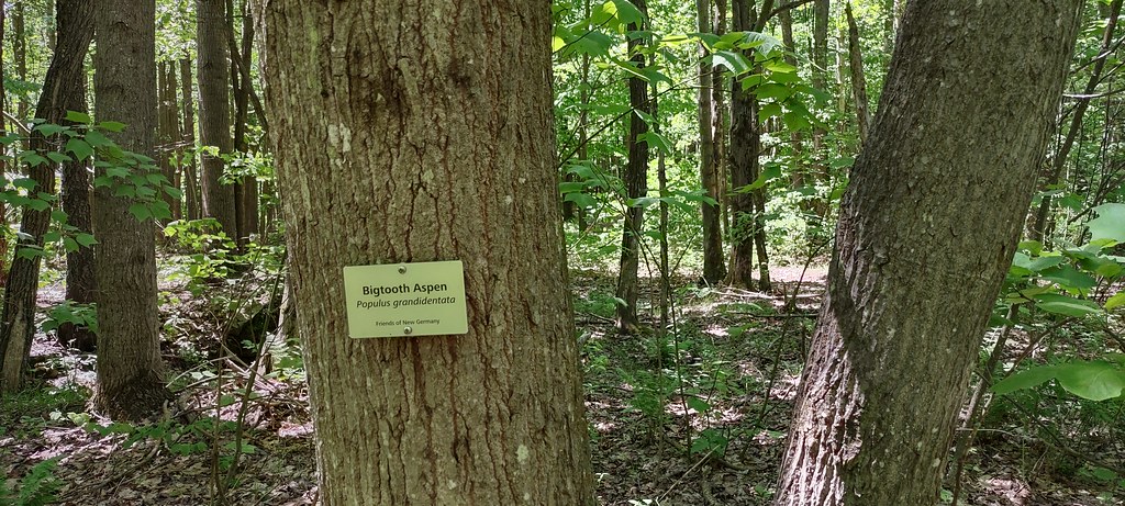 The Dorothy TrailHiking · ~16 min drivePhoto: NicoleSharp, CC BY-SA 2.0 (via Flickr)
 Pine Wood TrailHiking · ~14 min drivePhoto: NicoleSharp, CC BY-SA 2.0 (via Flickr)
- Race Loop-ModerateHiking · ~19 min drive
 Tub Mill TrailHiking · ~20 min drivePhoto: chris.peplin, CC BY 2.0 (via Flickr)
Best time to visit Margraff Red Trail
Best months: April–October. Best months have typical highs of 55–85 °F, lows of 30 °F or warmer (32 °F where the station doesn't record snow), at most one snowy day and no more than 12 wet days.
Jan
34° / 17°
Feb
38° / 17°
Mar
47° / 24°
Apr
59° / 34°
May
68° / 44°
Jun
75° / 52°
Jul
79° / 56°
Aug
76° / 55°
Sep
72° / 48°
Oct
61° / 38°
Nov
49° / 29°
Dec
38° / 21°
Typical high / low (°F) and days with rain or snow, 1991–2020. Measured at Sines Deep Creek, MD, 10.2 mi away at 2,040 ft. The station sits about 900 ft lower than this place, so expect it a little cooler here. This station doesn't record snowfall. Source: NOAA NCEI U.S. Climate Normals 1991–2020.
Map and trail data © OpenStreetMap contributors
