Camp Bennett
Campground
Campground · 6.9 mi from the trail
 Photo: John Brighenti, CC BY 2.0 (via Flickr)
Gude Trail is an easy out-and-back hike in Maryland, about a mile from the town of Avery. The trail is just over 2 miles long, with a total climb of about 240 feet from the low point at 352 feet to the high point at 441 feet. The steepest section comes around the 0.9-mile mark, where the grade reaches about 8%. Spring and fall are the most comfortable times to go. Typical averages from a nearby weather station run to highs around 66°F in April and October, while July averages reach 87°F and January highs sit near 42°F. The trip takes about an hour. The trail makes an easy pairing with other short walks in the area. Parilla Path is just 0.1 mile away and Blue Heron Trail about 0.2 mile. For time on the water, the Northwest Branch Anacostia River is about 6.5 miles off, and Rachel Carson Conservation Park offers climbing about 7.3 miles away.
Camp Bennett
Campground
 If it rainsAcroterion, CC BY-SA 4.0 · Wikimedia Commons
Gambrill House
Attraction
Historic mansion at Monocacy National Battlefield, Maryland, United States
Places © OpenStreetMap contributors · Photos: Acroterion, CC BY-SA 4.0 (commons)
More in Ballenger CreekNot on Roamze yet. Their page has how to reach them.
 Parilla PathHikingPhoto: John Brighenti, CC BY 2.0 (via Flickr)0.1 mi
 Blue Heron TrailHikingPhoto: John Brighenti, CC BY 2.0 (via Flickr)0.2 mi
 Westside TrailHikingPhoto: John Brighenti, CC BY 2.0 (via Flickr)0.2 mi
 Northwest Branch Anacostia RiverCanoeingPhoto: Paul from USA, CC BY-SA 2.0 (via Wikimedia Commons)6.5 mi
 Rachel Carson Conservation ParkRock climbingPhoto: John Brighenti from Rockville, MD, United States, CC BY 2.0 (via Wikimedia Commons)7.3 mi
Source: Roamze catalog (indexable pages within 10 miles, PostGIS distance)
Parilla PathHiking · Next doorPhoto: John Brighenti, CC BY 2.0 (via Flickr)Blue Heron TrailHiking · Next doorPhoto: John Brighenti, CC BY 2.0 (via Flickr) Lakeside TrailHiking · ~2 min drivePhoto: John Brighenti, CC BY 2.0 (via Flickr)Westside TrailHiking · Next doorPhoto: John Brighenti, CC BY 2.0 (via Flickr)
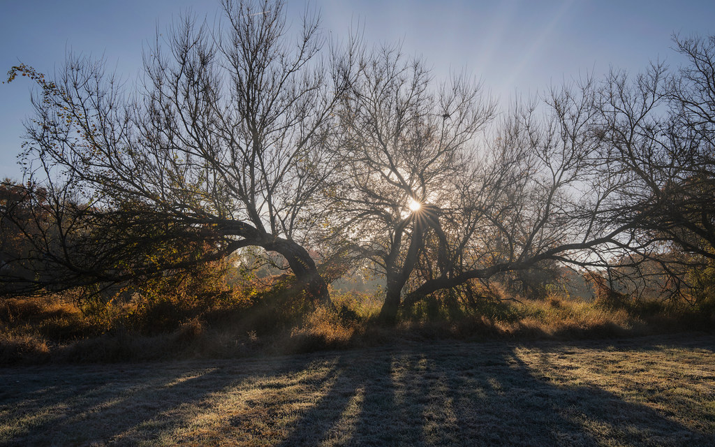 Lakeside TrailHiking · ~2 min drivePhoto: John Brighenti, CC BY 2.0 (via Flickr)Needwood TrailHiking · Next doorPhoto: John Brighenti, CC BY 2.0 (via Flickr)
 Blue Mash Natural Surface TrailHiking · ~9 min drivePhoto: John Brighenti, CC BY 2.0 (via Flickr)
 Blue Jay Loop TrailHiking · ~1 min drivePhoto: John Brighenti, CC BY 2.0 (via Flickr)Muncaster Mill TrailHiking · ~2 min drivePhoto: John Brighenti, CC BY 2.0 (via Flickr)
Also worth it near here
Northwest Branch Anacostia RiverCanoeing · ~11 min drivePhoto: Paul from USA, CC BY-SA 2.0 (via Wikimedia Commons) Northwest Branch TrailMountain biking · ~12 min drivePhoto: G. Edward Johnson, CC BY 3.0 (via Wikimedia Commons)
Best months: April–June and August–November. Best months have typical highs of 55–85 °F, lows of 30 °F or warmer (32 °F where the station doesn't record snow), at most one snowy day and no more than 12 wet days.
Jan
42° / 27°
10 wet
Feb
45° / 28°
8 wet
Mar
54° / 36°
11 wet
Apr
66° / 46°
11 wet
May
74° / 55°
11 wet
Jun
82° / 64°
10 wet
Jul
87° / 69°
9 wet
Aug
85° / 67°
8 wet
Sep
77° / 60°
9 wet
Oct
66° / 48°
8 wet
Nov
56° / 38°
8 wet
Dec
46° / 31°
10 wet
Typical high / low (°F) and days with rain or snow, 1991–2020. Measured at Rockville 1 Ne, MD, 1.4 mi away at 440 ft. This station doesn't record snowfall. Source: NOAA NCEI U.S. Climate Normals 1991–2020.
Map and trail data © OpenStreetMap contributors
