Camp Bennett
Campground
Campground · 6.7 mi from the trail
 Photo: John Brighenti, CC BY 2.0 (via Flickr)
Muncaster Mill Trail is a short, easy hike in Maryland, about 0.4 miles from the town of Avery. The route is a point-to-point walk of roughly 1.4 miles, with a low point of 303 feet and a high of 401 feet. The climb is gentle, with a total elevation gain of 76 feet, and the steepest stretch comes early on, around 0.23 miles in, with a grade of about 8 percent. Spring and fall are the most comfortable times to go. Typical averages from a nearby weather station in Rockville show May highs around 74°F and October highs around 66°F, while July averages climb to about 87°F. The trail sits close to several other short walks. Lakeside Trail is about 0.2 miles away and Springs Trail about 0.3 miles. Wildflower Trail is about half a mile off. For time on the water, the Northwest Branch Anacostia River is about 5.6 miles away.
Camp Bennett
Campground
 If it rainsAcroterion, CC BY-SA 4.0 · Wikimedia Commons
Gambrill House
Attraction
Historic mansion at Monocacy National Battlefield, Maryland, United States
Places © OpenStreetMap contributors · Photos: Acroterion, CC BY-SA 4.0 (commons)
More in Ballenger CreekLakeside TrailHikingPhoto: John Brighenti, CC BY 2.0 (via Flickr)0.2 mi Springs TrailHikingPhoto: John Brighenti, CC BY 2.0 (via Flickr)0.3 miWildflower TrailHikingPhoto: John Brighenti, CC BY 2.0 (via Flickr)0.5 mi
 Northwest Branch Anacostia RiverCanoeingPhoto: Paul from USA, CC BY-SA 2.0 (via Wikimedia Commons)5.6 mi
 Rachel Carson Conservation ParkRock climbingPhoto: John Brighenti from Rockville, MD, United States, CC BY 2.0 (via Wikimedia Commons)7.2 mi
Source: Roamze catalog (indexable pages within 10 miles, PostGIS distance)
Lakeside TrailHiking · Next doorPhoto: John Brighenti, CC BY 2.0 (via Flickr)Springs TrailHiking · Next doorPhoto: John Brighenti, CC BY 2.0 (via Flickr)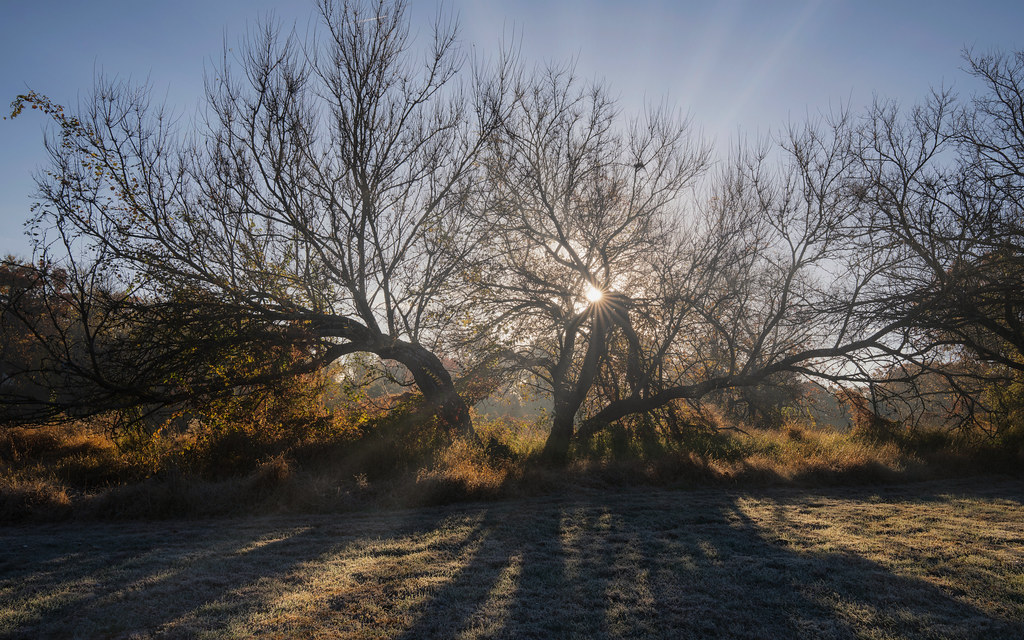 Lakeside TrailHiking · ~1 min drivePhoto: John Brighenti, CC BY 2.0 (via Flickr)Lakeside TrailHiking · Next doorPhoto: John Brighenti, CC BY 2.0 (via Flickr)
 Parilla PathHiking · ~1 min drivePhoto: John Brighenti, CC BY 2.0 (via Flickr)Wildflower TrailHiking · Next doorPhoto: John Brighenti, CC BY 2.0 (via Flickr)
 Westside TrailHiking · ~1 min drivePhoto: John Brighenti, CC BY 2.0 (via Flickr)Needwood TrailHiking · ~1 min drivePhoto: John Brighenti, CC BY 2.0 (via Flickr)
Also worth it near here
Northwest Branch Anacostia RiverCanoeing · ~10 min drivePhoto: Paul from USA, CC BY-SA 2.0 (via Wikimedia Commons) Northwest Branch TrailMountain biking · ~10 min drivePhoto: G. Edward Johnson, CC BY 3.0 (via Wikimedia Commons)
Best months: April–June and August–November. Best months have typical highs of 55–85 °F, lows of 30 °F or warmer (32 °F where the station doesn't record snow), at most one snowy day and no more than 12 wet days.
Jan
42° / 27°
10 wet
Feb
45° / 28°
8 wet
Mar
54° / 36°
11 wet
Apr
66° / 46°
11 wet
May
74° / 55°
11 wet
Jun
82° / 64°
10 wet
Jul
87° / 69°
9 wet
Aug
85° / 67°
8 wet
Sep
77° / 60°
9 wet
Oct
66° / 48°
8 wet
Nov
56° / 38°
8 wet
Dec
46° / 31°
10 wet
Typical high / low (°F) and days with rain or snow, 1991–2020. Measured at Rockville 1 Ne, MD, 2 mi away at 440 ft. This station doesn't record snowfall. Source: NOAA NCEI U.S. Climate Normals 1991–2020.
Map and trail data © OpenStreetMap contributors
