Flint Mill Trail
- 1.7 mi
- one way
- 224 ft
- climb
- 354 ft
- high point
- Point to point
- route
- Apr–Jun, Aug–Nov
- best months
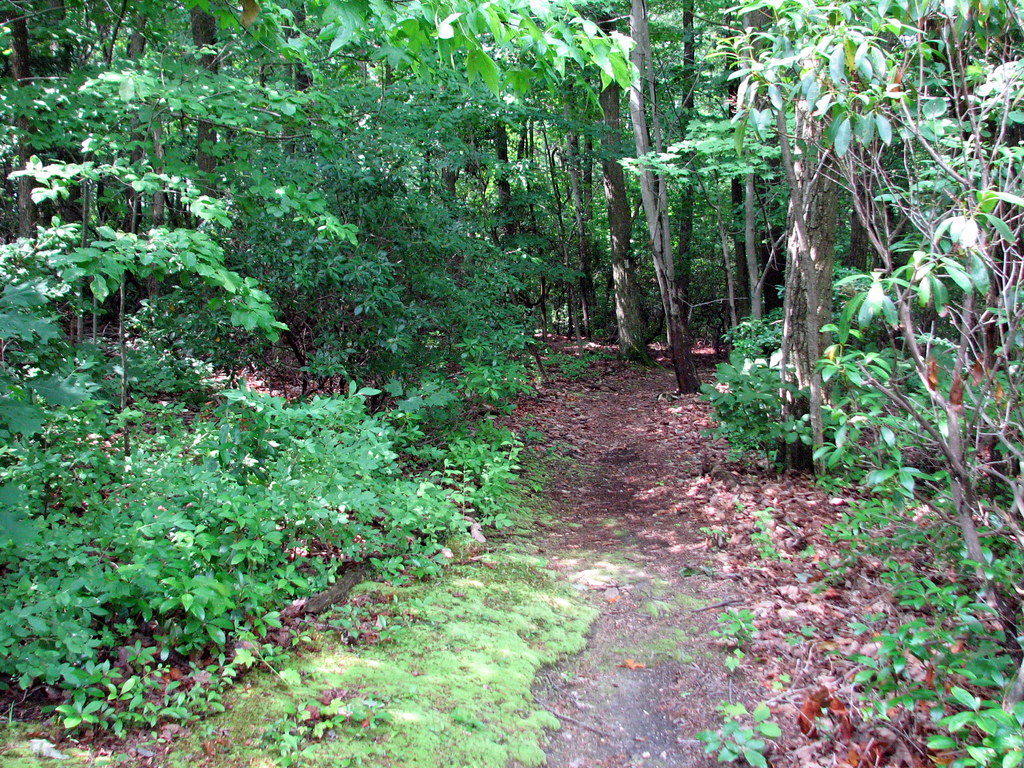
Flint Mill Trail is a short, easy hike in Maryland, about 0.7 miles from the community of McCanns Corner. The route is 1.7 miles long, with a one-way climb of 224 feet from a low point of 119 feet to a high of 354 feet. The steepest stretch comes at about 0.6 miles in, where the grade reaches 20 percent. For comfortable weather, aim for late spring or early fall. Typical averages from the nearby Conowingo Dam weather station show May highs around 74°F and September highs near 79°F, with July the warmest month at about 88°F. Iron Works Trail starts just 0.1 mile away, and Hornbeam Trail is about 0.3 mile off. Farther out, the Ma and Pa Heritage Trail "North" lies about 5.6 miles away, and the Susquehanna River offers fishing roughly 6.4 miles from the trail.
Local outfitters
- Strasburg Scooters & Tours26 mi away
- Amish Buggy Rides30 mi away
Not on Roamze yet. Their page has how to reach them.
- Iron Works TrailHiking0.1 mi
- Hornbeam TrailHiking0.3 mi
- Ma and Pa Heritage Trail "North"Hiking5.6 mi
- Rocks Road SidepathHiking6.2 mi
- Susquehanna RiverRiver fishing6.4 mi
- Below BreakawayRock climbing7.1 mi
- Smoke 'n' Ash BoulderRock climbing7.1 mi
- PinnacleRock climbing7.1 mi
Source: Roamze catalog (indexable pages within 10 miles, PostGIS distance)
 Ivy Branch Trail (Orange)Hiking · ~11 min drivePhoto: Mrs. Gemstone, CC BY-SA 2.0 (via Flickr)
 Mason-Dixon TrailHiking · ~12 min drivePhoto: Mrs. Gemstone, CC BY-SA 2.0 (via Flickr)
 Sweathouse TrailHiking · ~27 min drivePhoto: aparlette, CC BY 2.0 (via Flickr)
 Deer Creek Trail (Green)Hiking · ~11 min drivePhoto: Mrs. Gemstone, CC BY-SA 2.0 (via Flickr)
 Big Gunpowder Falls TrailHiking · ~27 min drivePhoto: Jason Knauer, CC BY 3.0 (via Wikimedia Commons)
- Farm Road Trail (Blue)Hiking · ~11 min drivePhoto: Mrs. Gemstone, CC BY-SA 2.0 (via Flickr)
- Gunpowder Falls TrailHiking · ~27 min drivePhoto: aparlette, CC BY 2.0 (via Flickr)
 White TrailHiking · ~13 min drivePhoto: cdsessums, CC BY-SA 2.0 (via Flickr)
- Rock Run TrailHiking · ~13 min drive
 Discovery (Yellow) TrailHiking · ~20 min drivePhoto: bobistraveling, CC BY 2.0 (via Flickr)
Best time to visit Flint Mill Trail
Best months: April–June and August–November. Best months have typical highs of 55–85 °F, lows of 30 °F or warmer (32 °F where the station doesn't record snow), at most one snowy day and no more than 12 wet days.
Jan
40° / 25°
11 wet
Feb
43° / 26°
10 wet
Mar
51° / 34°
10 wet
Apr
64° / 44°
10 wet
May
74° / 54°
10 wet
Jun
83° / 64°
9 wet
Jul
88° / 69°
9 wet
Aug
85° / 67°
9 wet
Sep
79° / 60°
9 wet
Oct
67° / 48°
9 wet
Nov
55° / 37°
8 wet
Dec
45° / 31°
10 wet
Typical high / low (°F) and days with rain or snow, 1991–2020. Measured at Conowingo Dam, MD, 6.3 mi away at 40 ft. This station doesn't record snowfall. Source: NOAA NCEI U.S. Climate Normals 1991–2020.
Map and trail data © OpenStreetMap contributors
