Owens Creek Campground
Campground
The next 2 weekends are full on Recreation.gov
 Photo: John Brighenti, CC BY 2.0 (via Flickr)
Clear at last check
Weather is good · OpenWeather · checked 20 h ago
No closures listed
The National Park Service lists no closures for Catoctin Mountain Park.
As of · Source: NPS · Catoctin Mountain Park. Agencies don't list every closure — check before you go.
Deerfield Nature Trail Loop is a short, easy loop in Catoctin Mountain Park in Maryland, managed by the National Park Service. The trail is about 0.86 miles long, with a total elevation gain of 114 feet and a total loss of 257 feet. It starts at roughly 1,397 feet and reaches a high of about 1,446 feet before returning to a lower point near 1,289 feet. The steepest stretch comes at about 0.73 miles in, with a grade of about 12 percent. Late spring and early fall are the most comfortable times to go. Typical averages from a nearby weather station show May highs around 73°F and September highs around 75°F, while July averages about 84°F and January highs sit near 39°F. The trail is a loop, so you can start and end at the same point. Bikes and horses are not allowed, and there is no fee to visit. TR-16 Sawmill Trail is about 0.3 miles away, and Owens Creek Campground is about 0.4 miles away. Browns Farm Trail is about 0.6 miles away, and Adirondack Shelters is about 1.1 miles away.
Owens Creek Campground
Campground
 If it rainsAcroterion, CC BY-SA 4.0 · Wikimedia Commons
Schifferstadt Architectural Museum
Museum
Places © OpenStreetMap contributors · Photos: Acroterion, CC BY-SA 4.0 (commons)
More in Ballenger CreekNot on Roamze yet. Their page has how to reach them.
TR-16 Sawmill TrailHikingPhoto: John Brighenti, CC BY 2.0 (via Flickr)0.3 mi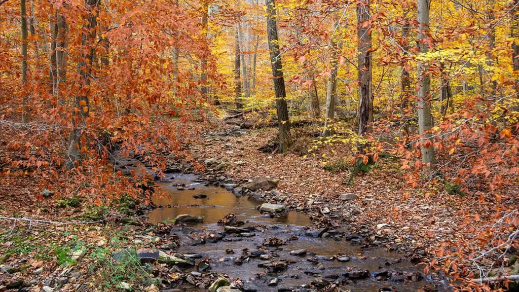 Owens Creek CampgroundCampingPhoto: Recreation.gov (RIDB) / public domain0.4 mi
 Browns Farm TrailHikingPhoto: beyond_the_sea01, Public Domain Mark (via Flickr)0.6 mi
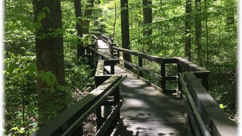 Adirondack SheltersCampingPhoto: Recreation.gov (RIDB) / public domain1.1 mi
Source: Roamze catalog (indexable pages within 10 miles, PostGIS distance)
TR-16 Sawmill TrailHiking · Next doorPhoto: John Brighenti, CC BY 2.0 (via Flickr) TR-14 Horse TrailHiking · Next doorPhoto: daveynin, CC BY 2.0 (via Flickr)Browns Farm TrailHiking · Next doorPhoto: beyond_the_sea01, Public Domain Mark (via Flickr)
 Hog Rock Loop TrailHiking · ~4 min drivePhoto: John Brighenti, CC BY 2.0 (via Flickr)Browns Farm Nature Trail LoopHiking · Next doorPhoto: beyond_the_sea01, Public Domain Mark (via Flickr)Lower TrailHiking · ~4 min drivePhoto: John Brighenti, CC BY 2.0 (via Flickr)
 TR-13 Spicebush TrailHiking · ~2 min drivePhoto: beyond_the_sea01, Public Domain Mark (via Flickr)
 Thurmont Vista OverlookHiking · ~5 min drivePhoto: beyond_the_sea01, Public Domain Mark (via Flickr)
Best months: April and June–October. Best months have typical highs of 55–85 °F, lows of 30 °F or warmer (32 °F where the station doesn't record snow), at most one snowy day and no more than 12 wet days.
Jan
39° / 23°
10 wet
Feb
42° / 25°
9 wet
Mar
52° / 31°
12 wet
Apr
65° / 42°
12 wet
May
73° / 52°
14 wet
Jun
80° / 60°
12 wet
Jul
84° / 65°
12 wet
Aug
81° / 63°
12 wet
Sep
75° / 58°
11 wet
Oct
65° / 46°
11 wet
Nov
53° / 36°
11 wet
Dec
43° / 28°
10 wet
Typical high / low (°F) and days with rain or snow, 1991–2020. Measured at Catoctin Mtn Park, MD, 1 mi away at 1,610 ft. This station doesn't record snowfall. Source: NOAA NCEI U.S. Climate Normals 1991–2020.
Map and trail data © OpenStreetMap contributors


