Blue Trail
- 0.4 mi
- round trip
- 220 ft
- climb
- 96 ft
- high point
- Out and back
- route
- Mar–Jun, Aug–Nov
- best months
Blue Trail is a short, easy out-and-back hike in Maryland's Chesapeake Forest Lands, managed by the State Department of Natural Resources. The trail is about 0.44 miles long, and the round trip covers roughly 0.88 miles with a total elevation gain of about 220 feet. The climb is steady, and the steepest stretch comes early, at about 0.07 miles from the start, with a grade of about 5 percent. Spring and fall are the most comfortable times to go. Typical averages from a nearby weather station in Salisbury show May highs around 74°F and October highs around 69°F, while July averages about 87°F and January highs sit near 45°F. The hike takes about half an hour, so it works well as a quick stop. The Algonquin Trail lies about 1.4 miles away, and the Ron Wilson Memorial Trail is about 5 miles off. Milburn Landing Trail and the White Trail are both within about 8 miles.
- Algonquin TrailHiking1.4 mi
- Ron Wilson Memorial TrailHiking5.1 mi
 Milburn Landing TrailHikingPhoto: PBoGS, CC BY-SA 2.0 (via Flickr)7.4 mi
- White TrailHiking8.2 mi
- Orange TrailHiking8.4 mi
Source: Roamze catalog (indexable pages within 10 miles, PostGIS distance)
- Algonquin TrailHiking · ~12 min drivePhoto: PBoGS, CC BY-SA 2.0 (via Flickr)
- MD - Life of the Marsh TrailHiking · ~33 min drive
- Algonquin TrailHiking · ~7 min drive
- Milburn Landing TrailHiking · ~13 min drivePhoto: PBoGS, CC BY-SA 2.0 (via Flickr)
- Campus PathsHiking · ~17 min drive
- Milburn Landing TrailHiking · ~13 min drivePhoto: PBoGS, CC BY-SA 2.0 (via Flickr)
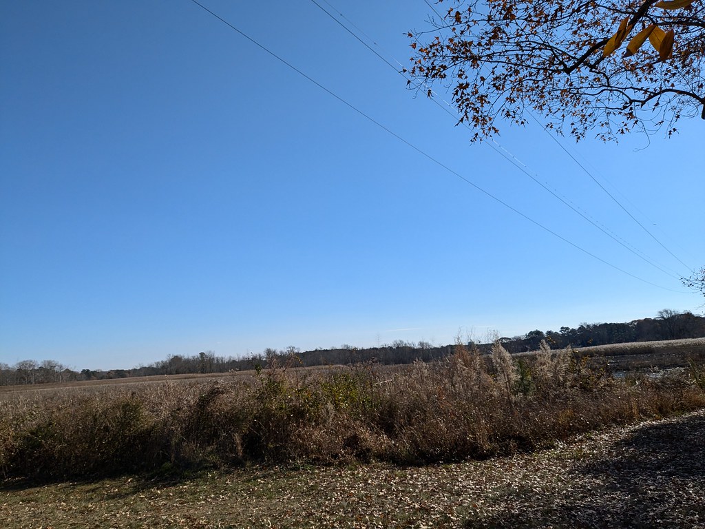 Bell Island TrailHiking · ~17 min drivePhoto: vonguard, CC BY-SA 2.0 (via Flickr)
 Handy Hall TrailHiking · ~18 min drivePhoto: vonguard, CC BY-SA 2.0 (via Flickr)
- Pondside TrailHiking · ~18 min drivePhoto: vonguard, CC BY-SA 2.0 (via Flickr)
 Huckleberry TrailHiking · ~33 min drivePhoto: Lee Cannon, CC BY-SA 2.0 (via Flickr)
Also worth it near here
Best time to visit Blue Trail
Best months: March–June and August–November. Best months have typical highs of 55–85 °F, lows of 30 °F or warmer (32 °F where the station doesn't record snow), at most one snowy day and no more than 12 wet days.
Jan
45° / 28°
11 wet · 2 snow
Feb
48° / 29°
10 wet · 1 snow
Mar
55° / 35°
11 wet · 1 snow
Apr
66° / 44°
11 wet
May
74° / 53°
12 wet
Jun
83° / 63°
11 wet
Jul
87° / 68°
10 wet
Aug
85° / 66°
10 wet
Sep
79° / 60°
9 wet
Oct
69° / 48°
9 wet
Nov
59° / 38°
9 wet
Dec
50° / 31°
11 wet · 1 snow
Typical high / low (°F) and days with rain or snow, 1991–2020. Measured at Salisbury Wicomico Rgnl Ap, MD, 6.8 mi away at 48 ft. Source: NOAA NCEI U.S. Climate Normals 1991–2020.


Map and trail data © OpenStreetMap contributors
