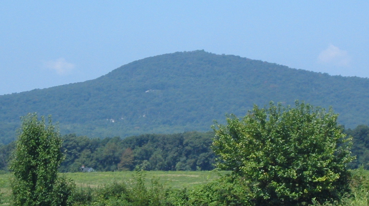
Rock Run Area Campground
Campground
Campground · 5.9 mi from the trail
Ballenger Creek Trail is a short, easy hike in Maryland, about half a mile from the community of Ballenger Creek Meadows. The trail is an out-and-back route of about a mile, with a total climb of roughly 87 feet and a high point of about 330 feet. The path is mostly flat, and the steepest stretch comes early on, at about 3% grade. Spring and fall are the most comfortable times to go. Typical averages from a nearby weather station in Frederick show October highs around 69°F with lows near 47°F, and May highs around 77°F. July is the warmest month, with typical highs near 89°F. Several other trails lie within a few miles, including High Water Trail at about 2.5 miles and Rock Creek Trail at about 2.8 miles. Climbers can head to White Rocks Bouldering, about 7 miles away, and paddlers can try Bennett Creek, about 8 miles away.
Rock Run Area Campground
Campground
 Eat afterBrewDMC, CC BY-SA 4.0 · Wikimedia Commons
Craft brewery in Frederick, Maryland
 If it rainsHarej, CC BY-SA 3.0 · Wikimedia Commons
History museum in Frederick, Maryland
Places © OpenStreetMap contributors · Photos: BrewDMC, CC BY-SA 4.0 (commons); Harej, CC BY-SA 3.0 (commons)
More in Ballenger CreekNot on Roamze yet. Their page has how to reach them.
 Junction TrailHikingPhoto: Ken Lund from Las Vegas, Nevada, USA, CC BY-SA 2.0 (via Wikimedia Commons)2.6 mi
Source: Roamze catalog (indexable pages within 10 miles, PostGIS distance)
 Best Farm TrailHiking · ~4 min drivePhoto: Ron Cogswell, CC BY 2.0 (via Flickr)
 Green Ash TrailHiking · ~11 min drivePhoto: SridharSaraf, CC BY-SA 2.0 (via Flickr)Junction TrailHiking · ~5 min drivePhoto: Ken Lund from Las Vegas, Nevada, USA, CC BY-SA 2.0 (via Wikimedia Commons)
 Middle Ford Ferry Loop TrailHiking · ~5 min drivePhoto: Pete Giove-Fourwinds, CC BY-SA 3.0 (via Wikimedia Commons)
 Thomas Farm Loop TrailHiking · ~5 min drivePhoto: Ken Lund from Las Vegas, Nevada, USA, CC BY-SA 2.0 (via Wikimedia Commons)
 0.2 MilesHiking · ~6 min drivePhoto: Ron Cogswell, CC BY 2.0 (via Flickr)
Best months: March–June and September–November. Best months have typical highs of 55–85 °F, lows of 30 °F or warmer (32 °F where the station doesn't record snow), at most one snowy day and no more than 12 wet days.
Jan
43° / 27°
8 wet
Feb
48° / 29°
7 wet
Mar
55° / 36°
10 wet
Apr
69° / 45°
10 wet
May
77° / 55°
10 wet
Jun
85° / 63°
10 wet
Jul
89° / 68°
9 wet
Aug
87° / 66°
9 wet
Sep
80° / 59°
9 wet
Oct
69° / 47°
7 wet
Nov
56° / 38°
8 wet
Dec
47° / 31°
9 wet
Typical high / low (°F) and days with rain or snow, 1991–2020. Measured at Frederick Police Brks, MD, 2.4 mi away at 380 ft. This station doesn't record snowfall. Source: NOAA NCEI U.S. Climate Normals 1991–2020.
Map and trail data © OpenStreetMap contributors