Bald Mountain
- 2,435 ft
- summit
- 2
- ways up
Bald Mountain is a summit in western Maine, about 6 miles from the town of Rangeley. Summer brings the most comfortable weather. A nearby weather station at Rangeley typically averages July highs around 75°F and lows near 53°F, and September averages about 66°F by day and 43°F at night. That station sits several hundred feet below the summit, so temperatures up high run cooler. Bald Mountain Trail starts just 0.1 mile away, and the Bald Mountain Summit Trail is about 0.6 mile off. Winter visitors can find the Lift Line ski touring route within 0.1 mile. Closer to town, the Rangeley River Trail lies a little over 2 miles away.
Conditions and forecast
Daily highs and lows, wind and the chance of precipitation at the summit and route start for the next 7 days, from the Open-Meteo model.
- Summit elevation
- 2,435 ft
Elevation from USGS 3D Elevation Program terrain data (about 10 m resolution).
- Bald Mountain Summit TrailEasyabout 598 ft of climbing1.8 mi round trip
- Bald Mountain TrailEasyabout 909 ft of climbing1.2 mi
Compare the routes Bald Mountain Summit Trail Bald Mountain Trail Climbing About 598 ft About 909 ft Round trip 1.8 mi 1.2 mi Difficulty Easy Easy Terrain Hike Hike Map © Mapbox © OpenStreetMap contributors Questions about Bald Mountain
How tall is Bald Mountain?
2,435 ft (742 m).
How many routes go to the summit of Bald Mountain?
2: Bald Mountain Summit Trail and Bald Mountain Trail.
What is the shortest route up Bald Mountain?
Bald Mountain Trail, about 1.2 mi.
 Tumbledown Mountain3,071 ft · Maine1 route17 mi awayPhoto: Noah Meyerhans, CC BY-SA 2.0 (via Wikimedia Commons)
- Little Jackson Mountain3,453 ft · Maine1 route18 mi away
- Jackson Mountain3,553 ft · Maine1 route18 mi away
 Magalloway Mountain3,379 ft · New Hampshire2 routes21 mi awayPhoto: User:Magicpiano, CC BY-SA 4.0 (via Wikimedia Commons)
- Mount Abraham4,047 ft · Maine3 routes22 mi away
 Sugarloaf Mountain4,233 ft · Maine1 route23 mi awayPhoto: petersent, Public domain (via Wikimedia Commons)
 Bald Mountain TrailHikingPhoto: cloud2013, CC BY 2.0 (via Wikimedia Commons)0.1 mi
- Lift LineSki touring0.1 mi
- ShortcutSki touring0.4 mi
- Bald Mountain Summit TrailHikingPhoto: cloud2013, CC BY 2.0 (via Wikimedia Commons)0.6 mi
 Alternative TrailHikingPhoto: Dougtone, CC BY-SA 2.0 (via Flickr)1.4 mi
- Rangeley River TrailHikingPhoto: Dougtone, CC BY-SA 2.0 (via Flickr)2.2 mi
- Bonney Point TrailHiking2.2 mi
- Kennebago RiverRiver fishing8.6 mi
Source: Roamze catalog (indexable pages within 10 miles, PostGIS distance)
 The HornSummit · ~24 min drivePhoto: petersent, Public domain (via Wikimedia Commons)
- Tumbledown MountainSummit · ~30 min drivePhoto: Noah Meyerhans, CC BY-SA 2.0 (via Wikimedia Commons)
- Magalloway MountainSummit · ~35 min drivePhoto: User:Magicpiano, CC BY-SA 4.0 (via Wikimedia Commons)
- Sugarloaf MountainSummit · ~40 min drivePhoto: petersent, Public domain (via Wikimedia Commons)
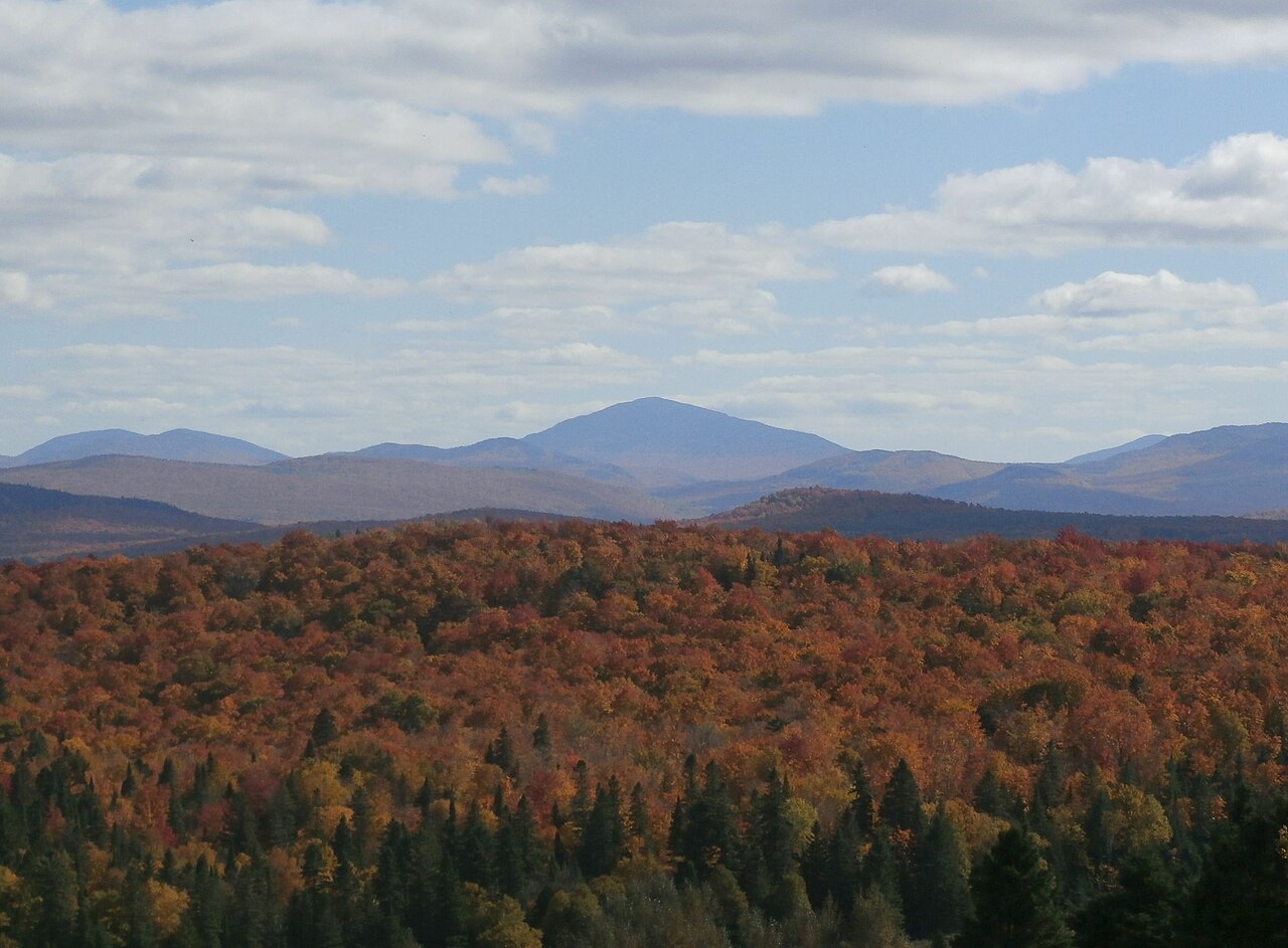 Snow MountainSummit · ~42 min drivePhoto: Richard Coté, CC BY-SA 4.0 (via Wikimedia Commons)
 Mont GosfordSummit · ~43 min drivePhoto: JF Dallaire, CC BY 3.0 (via Wikimedia Commons)
 Mount BlueSummit · ~45 min drivePhoto: Tim Pierce, Public domain (via Wikimedia Commons)
 Twin PeaksSummit · ~47 min drivePhoto: Richard Coté, CC BY-SA 4.0 (via Wikimedia Commons)
 Mont D'UrbanSummit · ~50 min drivePhoto: Richard Coté, CC BY-SA 4.0 (via Wikimedia Commons)
 Montagne des LignesSummit · ~51 min drivePhoto: Richard Coté, CC BY-SA 4.0 (via Wikimedia Commons)
Best time to visit Bald Mountain
No month here meets our mild-weather rule. Best months have typical highs of 55–85 °F, lows of 30 °F or warmer (32 °F where the station doesn't record snow), at most one snowy day and no more than 12 wet days.
Jan
22° / 2°
16 wet
Feb
25° / 3°
13 wet
Mar
33° / 12°
13 wet
Apr
46° / 26°
13 wet
May
61° / 38°
15 wet
Jun
70° / 48°
16 wet
Jul
75° / 53°
15 wet
Aug
73° / 51°
13 wet
Sep
66° / 43°
13 wet
Oct
52° / 33°
14 wet
Nov
39° / 23°
15 wet
Dec
28° / 11°
18 wet
Typical high / low (°F) and days with rain or snow, 1991–2020. Measured at Rangeley 2 Nw, ME, 6 mi away at 1,780 ft. The station sits about 700 ft lower than this place, so expect it a little cooler here. This station doesn't record snowfall. Source: NOAA NCEI U.S. Climate Normals 1991–2020.
