Bauneg Beg Mountain
- 867 ft
- summit
- 2
- ways up
- May–Oct
- best months
Bauneg Beg Mountain is a summit in Maine, about 3 miles from the town of Sanford. It sits at 867 feet, and several trails start within half a mile, so it works well as a short objective for anyone already exploring the area. Summer and early fall are the most comfortable times to go. Typical averages from a nearby weather station in Sanford show July highs around 81°F and September highs near 73°F, with lows in the upper 40s. That station sits well below the summit, so temperatures up top run cooler. The Summit Trail is just 0.1 mile away, and the Oak Trail and Bauneg Beg Trail are both within half a mile. For an overnight stay, Huttopia Southern Maine is about 1.6 miles off.
Conditions and forecast
Daily highs and lows, wind and the chance of precipitation at the summit and route start for the next 7 days, from the Open-Meteo model.
- Summit elevation
- 867 ft
Elevation from USGS 3D Elevation Program terrain data (about 10 m resolution).
- Oak TrailEasyabout 302 ft of climbing1.0 mi round trip
- Summit TrailEasyabout 671 ft of climbing1.9 mi round trip
Compare the routes Oak Trail Summit Trail Climbing About 302 ft About 671 ft Round trip 1.0 mi 1.9 mi Difficulty Easy Easy Terrain Hike Hike Map © Mapbox © OpenStreetMap contributors Questions about Bauneg Beg Mountain
How tall is Bauneg Beg Mountain?
867 ft (264 m).
How many routes go to the summit of Bauneg Beg Mountain?
2: Oak Trail and Summit Trail.
What is the shortest route up Bauneg Beg Mountain?
Oak Trail, about 1.0 mi round trip.
- Spring Hill324 ft · Maine1 route8.7 mi away
- Hanscom Hill237 ft · Maine2 routes9.6 mi away
- Kenyon Hill232 ft · Maine1 route9.9 mi away
- Second Hill556 ft · Maine1 route12 mi away
- Third Hill520 ft · Maine2 routes12 mi away
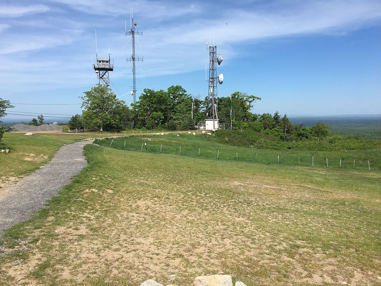 Mount Agamenticus692 ft · Maine2 routes12 mi awayPhoto: Fredlyfish4, CC BY-SA 4.0 (via Wikimedia Commons)
- Summit TrailHiking0.1 mi
- Oak TrailHiking0.3 mi
- Bauneg Beg TrailHiking0.4 mi
- North Peak LoopHiking0.4 mi
- Huttopia Southern MaineCamping1.6 mi
- Mousam RiverCanoeing6.5 mi
- Middle Branch Mousam RiverCanoeing9.4 mi
- Amigos TraverseRock climbing10 mi
Source: Roamze catalog (indexable pages within 10 miles, PostGIS distance)
- Mount AgamenticusSummit · ~21 min drivePhoto: Fredlyfish4, CC BY-SA 4.0 (via Wikimedia Commons)
 Douglas MountainSummit · ~58 min drivePhoto: Namiba, CC BY 4.0 (via Wikimedia Commons)
- Spring HillSummit · ~15 min drive
- Hanscom HillSummit · ~16 min drive
- Kenyon HillSummit · ~17 min drive
- Second HillSummit · ~20 min drive
- Third HillSummit · ~20 min drive
- Phoebes Nable MountainSummit · ~28 min drive
- Blue Job MountainSummit · ~29 min drive
- Bartlett HillSummit · ~32 min drive
Best time to visit Bauneg Beg Mountain
Best months: May–October. Best months have typical highs of 55–85 °F, lows of 30 °F or warmer (32 °F where the station doesn't record snow), at most one snowy day and no more than 12 wet days.
Jan
32° / 10°
10 wet
Feb
35° / 11°
8 wet
Mar
44° / 20°
10 wet
Apr
57° / 30°
10 wet
May
68° / 41°
11 wet
Jun
76° / 51°
11 wet
Jul
81° / 56°
11 wet
Aug
80° / 55°
9 wet
Sep
73° / 47°
9 wet
Oct
61° / 36°
10 wet
Nov
48° / 27°
10 wet
Dec
37° / 17°
11 wet
Typical high / low (°F) and days with rain or snow, 1991–2020. Measured at Sanford 2 Nnw, ME, 5.1 mi away at 289 ft. The station sits about 600 ft lower than this place, so expect it a little cooler here. This station doesn't record snowfall. Source: NOAA NCEI U.S. Climate Normals 1991–2020.