Skelton Dam Boat Ramp- Above Dam
- May–Oct
- best months
Skelton Dam Boat Ramp - Above Dam is a boat launch in Maine, about 8 miles from Saco. As the name indicates, the ramp sits on the upstream side of Skelton Dam. Summer is the warmest stretch for getting on the water. Typical averages from a nearby weather station run highs around 82°F in July, while September stays milder with highs near 73°F and lows around 48°F. Trails start close by: the Yellow Trail is about a mile away and the Red Trail about 1.1 miles, with the Mary Merrill Trail roughly 1.9 miles off. For more paddling, the Kennebunk River is about 8.7 miles away.
- Yellow TrailHiking1 mi
- Red TrailHiking1.1 mi
- Mary Merrill TrailHiking1.9 mi
- Big Pine TrailHiking2.1 mi
- Beaver Path TrailHiking2.2 mi
- Red Maple TrailHiking2.3 mi
- Clifford ParkRock climbing8 mi
- Kennebunk RiverCanoeing8.7 mi
Source: Roamze catalog (indexable pages within 10 miles, PostGIS distance)
 Little Ossipee RiverCanoeing · ~29 min drivePhoto: Unknown photographer, Public domain (via Wikimedia Commons)
- Skelton Dam Boat Ramp - Below DamBoat launch · Next door
 Presumpscot RiverCanoeing · ~31 min drivePhoto: Dr StrangeHat, Public domain (via Wikimedia Commons)
- Rotary Park Boat RampBoat launch · ~11 min drive
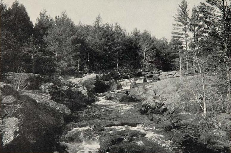 Salmon Falls RiverCanoeing · ~36 min drivePhoto: Unknown photographer, Public domain (via Wikimedia Commons)
- Irving Street Boat RampBoat launch · ~12 min drive
- Kennebunk RiverCanoeing · ~15 min drive
- Front Street Boat RampBoat launch · ~14 min drive
- Middle Branch Mousam RiverCanoeing · ~18 min drive
- Marrblehead Boat LaunchBoat launch · ~17 min drive
Best time to visit Skelton Dam Boat Ramp- Above Dam
Best months: May–October. Best months have typical highs of 55–85 °F, lows of 30 °F or warmer (32 °F where the station doesn't record snow), at most one snowy day and no more than 12 wet days.
Jan
31° / 8°
10 wet
Feb
34° / 10°
9 wet
Mar
43° / 20°
11 wet
Apr
56° / 31°
10 wet
May
67° / 43°
12 wet
Jun
76° / 52°
11 wet
Jul
82° / 58°
11 wet
Aug
81° / 56°
9 wet
Sep
73° / 48°
9 wet
Oct
60° / 36°
10 wet
Nov
48° / 26°
11 wet
Dec
37° / 16°
11 wet
Typical high / low (°F) and days with rain or snow, 1991–2020. Measured at West Buxton 2 Nnw, ME, 8.6 mi away at 220 ft. This station doesn't record snowfall. Source: NOAA NCEI U.S. Climate Normals 1991–2020.
Map and trail data © OpenStreetMap contributors
