Camping Field
Campground
Campground · 2.7 mi from the trail
Segur Stream Trail is a short, easy hike in Maine, set within the Sucker Brook land unit, which is managed by a non-governmental organization. The trail is about 1.7 miles long, and it rises from roughly 500 feet to about 540 feet, with a total elevation gain of 240 feet. The steepest stretch comes at about 1.5 miles in, where the grade reaches about 7 percent. Summer is the most comfortable time to go. Typical averages from a nearby weather station in Bridgton show July highs around 78°F with lows near 57°F, while September cools to highs around 69°F. The hike takes about half an hour, so it works well as a quick outing. Other trails close by include the Nature Trail, about 2.5 miles away, and the Mine Loop, about 3.1 miles away. Climbers can head to The Family Wall, about 4.7 miles off, and Cold River campground lies about 6.8 miles away.
Camping Field
Campground
Tom Gobbler Brewing
Brewery
Several Viewpoints at Black Cap
Viewpoint
Places © OpenStreetMap contributors, Places © Overture Maps Foundation
More in North Conway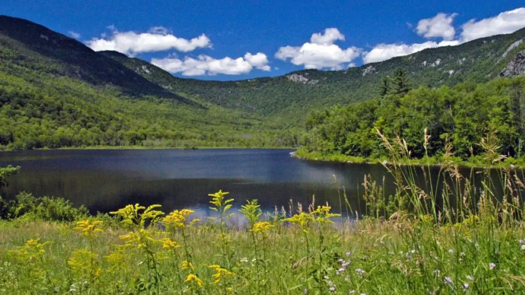 Basin CampgroundCampingPhoto: Recreation.gov (RIDB) / public domain7.3 mi
Source: Roamze catalog (indexable pages within 10 miles, PostGIS distance)
 Mount Sabattus TrailHiking · ~7 min drivePhoto: Magicpiano, CC BY-SA 3.0 (via Wikimedia Commons)
 Cold Brook TrailHiking · ~9 min drivePhoto: D. Sikes from Fairbanks, USA, CC BY-SA 2.0 (via Wikimedia Commons)
 Shell Pond trailHiking · ~7 min drivePhoto: Me in ME, CC BY 2.0 (via Flickr)
 Deer Hills TrailHiking · ~9 min drivePhoto: Paul VanDerWerf from Brunswick, Maine, USA, CC BY 2.0 (via Wikimedia Commons)Shell Pond LoopHiking · ~9 min drivePhoto: Me in ME, CC BY 2.0 (via Flickr)Stone House TrailHiking · ~10 min drivePhoto: Paul VanDerWerf from Brunswick, Maine, USA, CC BY 2.0 (via Wikimedia Commons)
Also worth it near here
Best months: May–October. Best months have typical highs of 55–85 °F, lows of 30 °F or warmer (32 °F where the station doesn't record snow), at most one snowy day and no more than 12 wet days.
Jan
28° / 7°
9 wet
Feb
31° / 8°
8 wet
Mar
40° / 19°
9 wet
Apr
54° / 30°
9 wet
May
66° / 42°
11 wet
Jun
73° / 52°
12 wet
Jul
78° / 57°
12 wet
Aug
76° / 56°
10 wet
Sep
69° / 48°
9 wet
Oct
57° / 37°
10 wet
Nov
45° / 27°
10 wet
Dec
34° / 16°
10 wet
Typical high / low (°F) and days with rain or snow, 1991–2020. Measured at Bridgton 3 Nw, ME, 12.2 mi away at 508 ft. This station doesn't record snowfall. Source: NOAA NCEI U.S. Climate Normals 1991–2020.
Map and trail data © OpenStreetMap contributors

