Red Trail
 Photo: Magicpiano, CC BY-SA 4.0 (via Wikimedia Commons)
- 0.6 mi
- round trip
- 37 ft
- climb
- 77 ft
- high point
- Out and back
- route
- Jun–Oct
- best months
Red Trail is a short out-and-back hike in Maine covering 0.60 miles with 51 feet of elevation gain. The trail follows a straightforward path and returns via the same route it took outward.
- Nearby · River Trail · Bobcat Ridge · Kennebunk Middle School Trails
Best time to go · Jun–Oct
Best time to visit Red Trail
Best months: June–October. Best months have typical highs of 55–85 °F, lows of 30 °F or warmer (32 °F where the station doesn't record snow), at most one snowy day and no more than 12 wet days.
Jan
33° / 13°
11 wet
Feb
35° / 14°
9 wet
Mar
41° / 23°
11 wet
Apr
52° / 32°
12 wet
May
62° / 43°
13 wet
Jun
71° / 52°
12 wet
Jul
77° / 58°
11 wet
Aug
76° / 56°
10 wet
Sep
69° / 49°
10 wet
Oct
59° / 38°
12 wet
Nov
48° / 29°
11 wet
Dec
39° / 20°
12 wet
Typical high / low (°F) and days with rain or snow, 1991–2020. Measured at Kennebunkport, ME, 5.7 mi away at 20 ft. This station doesn't record snowfall. Source: NOAA NCEI U.S. Climate Normals 1991–2020.
Keep exploring — more trails worth the drive
Photo: Magicpiano, CC BY-SA 4.0 (via Wikimedia Commons)River Trail
Next door
0.64-mile out-and-back trail in Maine with 75 ft of elevation gain.
HIKE
Bobcat Ridge
~6 min drive
5.34-mile out-and-back trail in Maine with 275 ft elevation gain.
Photo: Magicpiano, CC BY-SA 4.0 (via Wikimedia Commons)Kennebunk Middle School Trails
~4 min drive
Easy out-and-back trail near Kennebunk Middle School, great for families.
HIKE
Kennebunk Bridle Path
~10 min drive
A moderate, flat out-and-back trail near Kennebunk, Maine, spanning 0.72 miles with a wide, easy-to-navigate surface.
 Photo: Magicpiano, CC BY-SA 3.0 (via Wikimedia Commons)
Welch Woods Trail
~7 min drive
0.72-mile out-and-back trail in Maine with 118 ft of elevation gain.
HIKE
Kennebunkport Cross-Town Trail
~10 min drive
6.95-mile point-to-point trail in Kennebunkport, Maine with 240 ft gain.
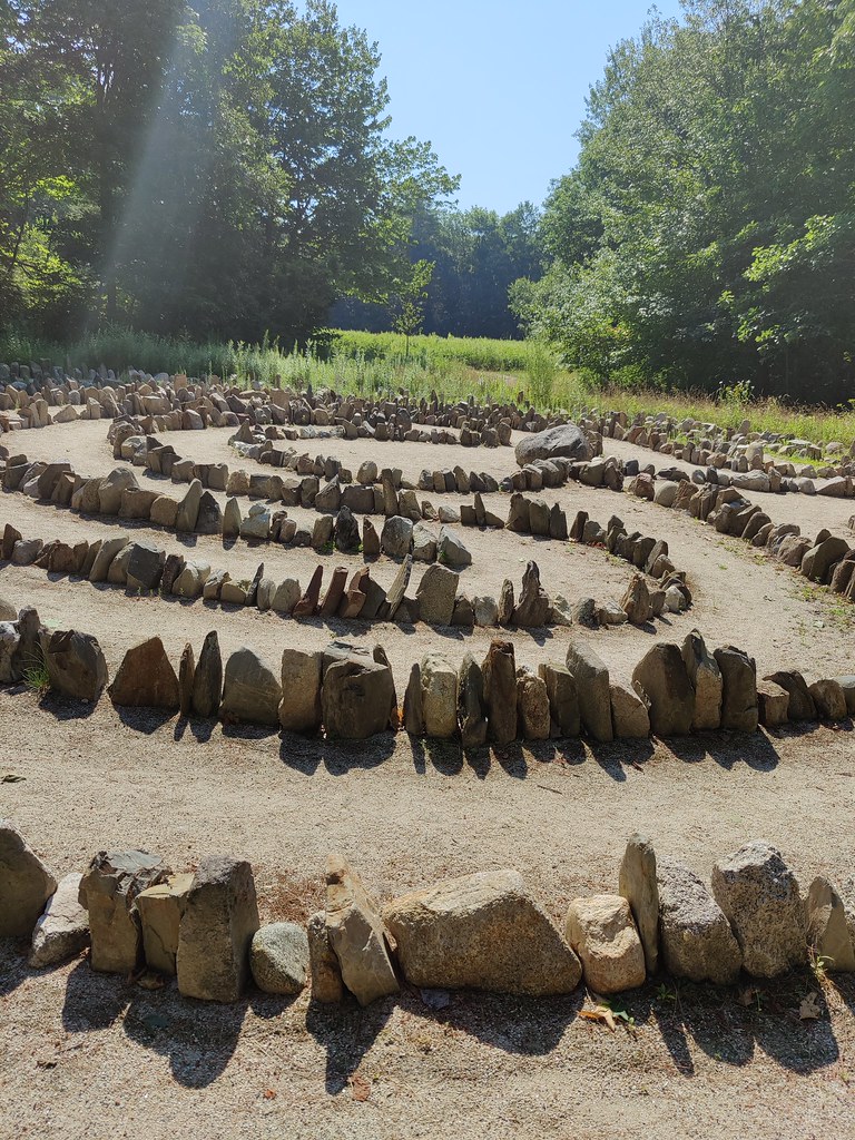 Photo: ian02054, CC BY 2.0 (via Flickr)
Jenne’s Loop
~7 min drive
0.9-mile out-and-back trail in Maine with 84 ft of elevation gain.
Photo: ian02054, CC BY 2.0 (via Flickr)Roller Trail
~8 min drive
1.14-mile out-and-back trail in Maine with 278 ft elevation gain.
Photo: ian02054, CC BY 2.0 (via Flickr)Learning Trail
~8 min drive
0.68-mile out-and-back hike in Maine with 99 ft of elevation gain.
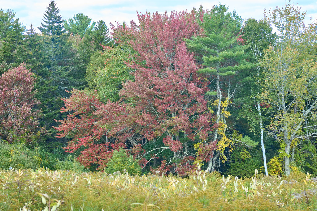 Photo: GOC53, CC BY 2.0 (via Flickr)
Farley Trail
~10 min drive
0.6-mile out-and-back trail in Maine with 120 ft elevation gain.
Map and trail data © OpenStreetMap contributors
