Bobcat Ridge
- 2.7 mi
- round trip
- 275 ft
- climb
- 212 ft
- high point
- Out and back
- route
- Jun–Oct
- best months
Bobcat Ridge is a moderate, out-and-back hike in Maine's coastal country, set in a town forest on Willey Rd. The route is about 5.3 miles long, with a total gain of 275 feet, and it reaches a high point of 212 feet. The steepest stretch comes at about 2.2 miles in, where the grade reaches 3 percent, and the climb is generally flat for much of the way. The trail starts and ends near 192 feet. Summer is the most comfortable time to go. Typical July highs reach about 77°F with lows near 58°F, according to averages from a nearby weather station in Kennebunkport. That station sits roughly 192 feet lower than the high point, so temperatures on the ridge run a little cooler. The hike takes about two hours. The town forest is managed by a non-governmental organization. Fox Den Trail lies just 0.9 miles away, and Jenne's Loop and the Roller Trail are each within about 2.5 miles. For climbing, Clifford Park is about 3.7 miles off.
- Fox Den TrailHiking0.9 mi
 Jenne’s LoopHikingPhoto: ian02054, CC BY 2.0 (via Flickr)2.4 mi
- Roller TrailHikingPhoto: ian02054, CC BY 2.0 (via Flickr)2.5 mi
- Learning TrailHikingPhoto: ian02054, CC BY 2.0 (via Flickr)2.7 mi
- Pink Brook TrailHiking3.1 mi
 Meadow Woods TrailHikingPhoto: InAweofGod'sCreation, CC BY 2.0 (via Wikimedia Commons)3.3 mi
- Clifford ParkRock climbing3.7 mi
- Kennebunk RiverCanoeing4.9 mi
Source: Roamze catalog (indexable pages within 10 miles, PostGIS distance)
- Jenne’s LoopHiking · ~4 min drivePhoto: ian02054, CC BY 2.0 (via Flickr)
- Kennebunkport Cross-Town TrailHiking · ~8 min drive
- Roller TrailHiking · ~4 min drivePhoto: ian02054, CC BY 2.0 (via Flickr)
- Kennebunk Bridle PathHiking · ~11 min drive
- Learning TrailHiking · ~5 min drivePhoto: ian02054, CC BY 2.0 (via Flickr)
- Meadow Woods TrailHiking · ~6 min drivePhoto: InAweofGod'sCreation, CC BY 2.0 (via Wikimedia Commons)
 Red TrailHiking · ~6 min drivePhoto: Magicpiano, CC BY-SA 4.0 (via Wikimedia Commons)
- River TrailHiking · ~6 min drivePhoto: Magicpiano, CC BY-SA 4.0 (via Wikimedia Commons)
 Welch Woods TrailHiking · ~7 min drivePhoto: Magicpiano, CC BY-SA 3.0 (via Wikimedia Commons)
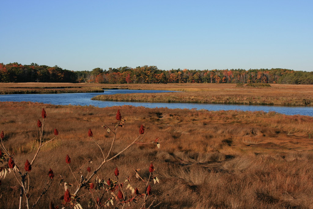 Plymouth TrailHiking · ~9 min drivePhoto: topazz1963, CC BY-SA 2.0 (via Flickr)
Best time to visit Bobcat Ridge
Best months: June–October. Best months have typical highs of 55–85 °F, lows of 30 °F or warmer (32 °F where the station doesn't record snow), at most one snowy day and no more than 12 wet days.
Jan
33° / 13°
11 wet
Feb
35° / 14°
9 wet
Mar
41° / 23°
11 wet
Apr
52° / 32°
12 wet
May
62° / 43°
13 wet
Jun
71° / 52°
12 wet
Jul
77° / 58°
11 wet
Aug
76° / 56°
10 wet
Sep
69° / 49°
10 wet
Oct
59° / 38°
12 wet
Nov
48° / 29°
11 wet
Dec
39° / 20°
12 wet
Typical high / low (°F) and days with rain or snow, 1991–2020. Measured at Kennebunkport, ME, 5.3 mi away at 20 ft. This station doesn't record snowfall. Source: NOAA NCEI U.S. Climate Normals 1991–2020.
Map and trail data © OpenStreetMap contributors
