Granger Pond Camping Area
Campground
Campground · 3.4 mi from the trail
Clear today
Weather is good · OpenWeather · checked 6 h ago
Quarry Trail is a 1.9-mile out-and-back hike in Maine with 501 feet of elevation gain and loss. The trail reaches a maximum elevation of 1,049 feet.
Granger Pond Camping Area
Campground
Jimbob's General Store
Fast food
Places © OpenStreetMap contributors
More in North ConwaySource: Roamze catalog (indexable pages within 10 miles, PostGIS distance)
 Pinehaven TrailHiking · ~8 min drivePhoto: Klieg, Public Domain Mark (via Flickr)
 Ledges TrailHiking · ~10 min drivePhoto: ImNotQuiteJack, CC BY-SA 2.0 (via Flickr)
 Willett Brook TrailHiking · ~8 min drivePhoto: Klieg, Public Domain Mark (via Flickr)
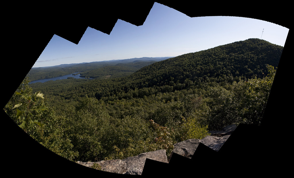 Bald Peak TrailHiking · ~10 min drivePhoto: ImNotQuiteJack, CC BY-SA 2.0 (via Flickr)
 Narrow Gauge TrailHiking · ~9 min drivePhoto: jschauma, CC BY 2.0 (via Flickr)
 Songo Wilderness TrailHiking · ~14 min drivePhoto: Paul VanDerWerf from Brunswick, Maine, USA, CC BY 2.0 (via Wikimedia Commons)Narrow Gauge TrailHiking · ~9 min drivePhoto: jschauma, CC BY 2.0 (via Flickr)Fire Warden's TrailHiking · ~10 min drivePhoto: ImNotQuiteJack, CC BY-SA 2.0 (via Flickr)
Best months: May–October. Best months have typical highs of 55–85 °F, lows of 30 °F or warmer (32 °F where the station doesn't record snow), at most one snowy day and no more than 12 wet days.
Jan
28° / 7°
9 wet
Feb
31° / 8°
8 wet
Mar
40° / 19°
9 wet
Apr
54° / 30°
9 wet
May
66° / 42°
11 wet
Jun
73° / 52°
12 wet
Jul
78° / 57°
12 wet
Aug
76° / 56°
10 wet
Sep
69° / 48°
9 wet
Oct
57° / 37°
10 wet
Nov
45° / 27°
10 wet
Dec
34° / 16°
10 wet
Typical high / low (°F) and days with rain or snow, 1991–2020. Measured at Bridgton 3 Nw, ME, 6.3 mi away at 508 ft. The station sits about 500 ft lower than this place, so expect it a little cooler here. This station doesn't record snowfall. Source: NOAA NCEI U.S. Climate Normals 1991–2020.
Map and trail data © OpenStreetMap contributors

