Granger Pond Camping Area
Campground
Campground · 5.3 mi from the trail
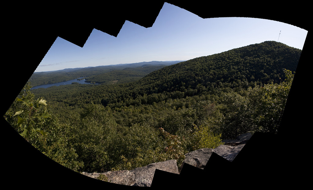 Photo: ImNotQuiteJack, CC BY-SA 2.0 (via Flickr)
Fire Warden's Trail is a 1.92-mile out-and-back route in Maine with 954 feet of elevation gain and loss. The trail reaches a maximum elevation of 1,942 feet.
Granger Pond Camping Area
Campground
LaCasce Dining Room
Fast food
Places © OpenStreetMap contributors
More in North Conway Ledges TrailHiking · Next doorPhoto: ImNotQuiteJack, CC BY-SA 2.0 (via Flickr)
 North Ridge TrailHiking · ~2 min drivePhoto: AlisonChaiken, CC BY-SA 2.0 (via Flickr)Bald Peak TrailHiking · Next doorPhoto: ImNotQuiteJack, CC BY-SA 2.0 (via Flickr)
 Pinehaven TrailHiking · ~10 min drivePhoto: Klieg, Public Domain Mark (via Flickr)
 Burnt Meadow MountainHiking · ~14 min drivePhoto: InAweofGod'sCreation, CC BY 2.0 (via Wikimedia Commons)
 Willett Brook TrailHiking · ~10 min drivePhoto: Klieg, Public Domain Mark (via Flickr)Twin Brook TrailHiking · ~14 min drivePhoto: InAweofGod'sCreation, CC BY 2.0 (via Wikimedia Commons)Stone Mountain TrailHiking · ~15 min drivePhoto: InAweofGod'sCreation, CC BY 2.0 (via Wikimedia Commons)
 Narrow Gauge TrailHiking · ~15 min drivePhoto: jschauma, CC BY 2.0 (via Flickr)
Best months: May–October. Best months have typical highs of 55–85 °F, lows of 30 °F or warmer (32 °F where the station doesn't record snow), at most one snowy day and no more than 12 wet days.
Jan
28° / 7°
9 wet
Feb
31° / 8°
8 wet
Mar
40° / 19°
9 wet
Apr
54° / 30°
9 wet
May
66° / 42°
11 wet
Jun
73° / 52°
12 wet
Jul
78° / 57°
12 wet
Aug
76° / 56°
10 wet
Sep
69° / 48°
9 wet
Oct
57° / 37°
10 wet
Nov
45° / 27°
10 wet
Dec
34° / 16°
10 wet
Typical high / low (°F) and days with rain or snow, 1991–2020. Measured at Bridgton 3 Nw, ME, 4.7 mi away at 508 ft. The station sits about 1,400 ft lower than this place, so expect it a little cooler here. This station doesn't record snowfall. Source: NOAA NCEI U.S. Climate Normals 1991–2020.
About 1.0 mi round trip.
About 954 ft of climbing round trip.
It is rated easy.
About 0.5 hours round trip.
4: Ledges Trail, Bald Peak Trail, Fire Warden's Trail and Southwest Ridge Trail.
Daily highs and lows, wind and the chance of precipitation at the summit and route start for the next 7 days, from the Open-Meteo model.
Map and trail data © OpenStreetMap contributors

