Pilger Trail
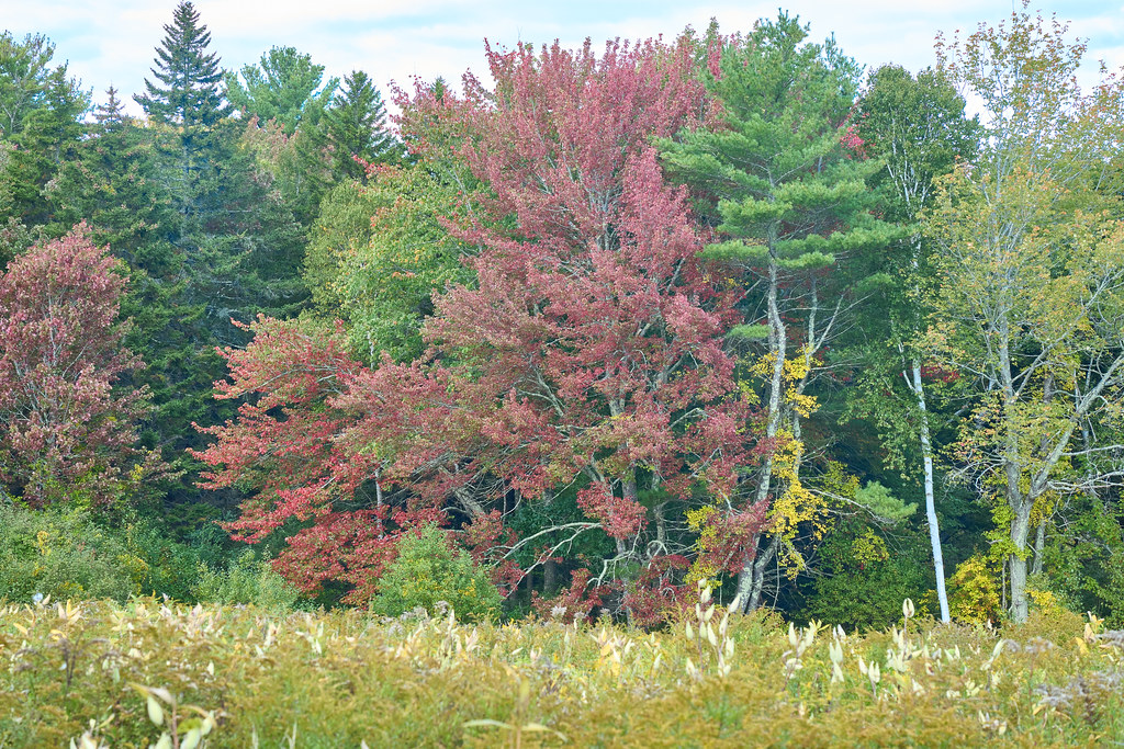
 Photo: GOC53, CC BY 2.0 (via Flickr)
- 0.8 mi
- round trip
- 166 ft
- climb
- 60 ft
- high point
- Out and back
- route
- Jun–Oct
- best months
Pilger Trail is a short, easy hike of about 0.75 miles on Wells Reserve in Maine, managed by a non-governmental organization. The route is an out-and-back that covers roughly 1.5 miles round trip, with a total climb of about 166 feet and a steepest grade of about 6% near the middle of the trail. Summer is the most comfortable time to go. Typical averages from the nearby Kennebunkport weather station show July highs around 77°F with lows near 58°F, while winter highs stay in the low 30s. Several other trails sit close by. Barrier Beach Trail is about 0.3 miles away, Laird-Northon Trail about 0.4 miles, and Muskie Trail about 0.5 miles. Paddlers can reach the Kennebunk River, about 7.8 miles away.
- Barrier Beach TrailHiking0.3 mi
 Laird-Northon TrailHikingPhoto: GOC53, CC BY 2.0 (via Flickr)0.4 mi
 Muskie TrailHikingPhoto: GOC53, CC BY 2.0 (via Flickr)0.5 mi
- Farley TrailHikingPhoto: GOC53, CC BY 2.0 (via Flickr)0.7 mi
- Kennebunk RiverCanoeing7.8 mi
- The Whale BoulderRock climbing8.3 mi
- Two and a Half BouldermenRock climbing8.3 mi
- Amigos TraverseRock climbing8.4 mi
Source: Roamze catalog (indexable pages within 10 miles, PostGIS distance)
- Laird-Northon TrailHiking · Next doorPhoto: GOC53, CC BY 2.0 (via Flickr)
- Kennebunk Bridle PathHiking · ~4 min drive
- Muskie TrailHiking · Next doorPhoto: GOC53, CC BY 2.0 (via Flickr)
- Kennebunkport Cross-Town TrailHiking · ~10 min drive
- Farley TrailHiking · ~1 min drivePhoto: GOC53, CC BY 2.0 (via Flickr)
- Carson TrailHiking · ~2 min drivePhoto: GOC53, CC BY 2.0 (via Flickr)
 Welch Woods TrailHiking · ~7 min drivePhoto: Magicpiano, CC BY-SA 3.0 (via Wikimedia Commons)
 Farm TrailHiking · ~9 min drivePhoto: mathewingram, CC BY 2.0 (via Flickr)
 Kennebunk Middle School TrailsHiking · ~10 min drivePhoto: Magicpiano, CC BY-SA 4.0 (via Wikimedia Commons)
 Town Forest TrailHiking · ~11 min drivePhoto: bacarty, CC BY 2.0 (via Flickr)
Best time to visit Pilger Trail
Best months: June–October. Best months have typical highs of 55–85 °F, lows of 30 °F or warmer (32 °F where the station doesn't record snow), at most one snowy day and no more than 12 wet days.
Jan
33° / 13°
11 wet
Feb
35° / 14°
9 wet
Mar
41° / 23°
11 wet
Apr
52° / 32°
12 wet
May
62° / 43°
13 wet
Jun
71° / 52°
12 wet
Jul
77° / 58°
11 wet
Aug
76° / 56°
10 wet
Sep
69° / 49°
10 wet
Oct
59° / 38°
12 wet
Nov
48° / 29°
11 wet
Dec
39° / 20°
12 wet
Typical high / low (°F) and days with rain or snow, 1991–2020. Measured at Kennebunkport, ME, 4.4 mi away at 20 ft. This station doesn't record snowfall. Source: NOAA NCEI U.S. Climate Normals 1991–2020.
Map and trail data © OpenStreetMap contributors
