Barrier Beach Trail
- 0.5 mi
- round trip
- 91 ft
- climb
- 64 ft
- high point
- Out and back
- route
- Jun–Oct
- best months
Barrier Beach Trail is a short, easy out-and-back hike of about a mile, with a total elevation gain of 91 feet, on Wells Reserve in Maine. The trail starts at about 58 feet and reaches a high point of 64 feet, with the steepest stretch at about 0.34 miles in, where the grade reaches 5 percent. The land is managed by a non-governmental organization. Summer is the most comfortable time to go. Typical averages from a nearby weather station in Kennebunkport show July highs around 77°F with lows near 58°F, while winter highs stay in the low to mid 30s. The hike takes about half an hour. The Laird-Northon Trail is 0.2 miles away, the Pilger Trail is 0.3 miles away, and the Farley Trail is 0.4 miles away. Paddlers can reach the Kennebunk River about 7.5 miles off.
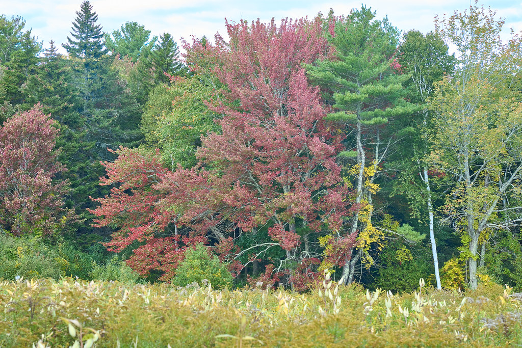 Laird-Northon TrailHikingPhoto: GOC53, CC BY 2.0 (via Flickr)0.2 mi
 Pilger TrailHikingPhoto: GOC53, CC BY 2.0 (via Flickr)0.3 mi
- Farley TrailHikingPhoto: GOC53, CC BY 2.0 (via Flickr)0.4 mi
 Muskie TrailHikingPhoto: GOC53, CC BY 2.0 (via Flickr)0.5 mi
- Kennebunk RiverCanoeing7.5 mi
- The Whale BoulderRock climbing8.4 mi
- Two and a Half BouldermenRock climbing8.4 mi
- Amigos TraverseRock climbing8.5 mi
Source: Roamze catalog (indexable pages within 10 miles, PostGIS distance)
- Laird-Northon TrailHiking · Next doorPhoto: GOC53, CC BY 2.0 (via Flickr)
- Kennebunk Bridle PathHiking · ~4 min drive
- Pilger TrailHiking · Next doorPhoto: GOC53, CC BY 2.0 (via Flickr)
- Kennebunkport Cross-Town TrailHiking · ~10 min drive
- Farley TrailHiking · Next doorPhoto: GOC53, CC BY 2.0 (via Flickr)
- Muskie TrailHiking · Next doorPhoto: GOC53, CC BY 2.0 (via Flickr)
- Carson TrailHiking · ~1 min drivePhoto: GOC53, CC BY 2.0 (via Flickr)
 Welch Woods TrailHiking · ~7 min drivePhoto: Magicpiano, CC BY-SA 3.0 (via Wikimedia Commons)
 Kennebunk Middle School TrailsHiking · ~9 min drivePhoto: Magicpiano, CC BY-SA 4.0 (via Wikimedia Commons)
 Farm TrailHiking · ~10 min drivePhoto: mathewingram, CC BY 2.0 (via Flickr)
Best time to visit Barrier Beach Trail
Best months: June–October. Best months have typical highs of 55–85 °F, lows of 30 °F or warmer (32 °F where the station doesn't record snow), at most one snowy day and no more than 12 wet days.
Jan
33° / 13°
11 wet
Feb
35° / 14°
9 wet
Mar
41° / 23°
11 wet
Apr
52° / 32°
12 wet
May
62° / 43°
13 wet
Jun
71° / 52°
12 wet
Jul
77° / 58°
11 wet
Aug
76° / 56°
10 wet
Sep
69° / 49°
10 wet
Oct
59° / 38°
12 wet
Nov
48° / 29°
11 wet
Dec
39° / 20°
12 wet
Typical high / low (°F) and days with rain or snow, 1991–2020. Measured at Kennebunkport, ME, 4.3 mi away at 20 ft. This station doesn't record snowfall. Source: NOAA NCEI U.S. Climate Normals 1991–2020.
Map and trail data © OpenStreetMap contributors
