Granger Pond Camping Area
Campground
Campground · 5.3 mi from the trail
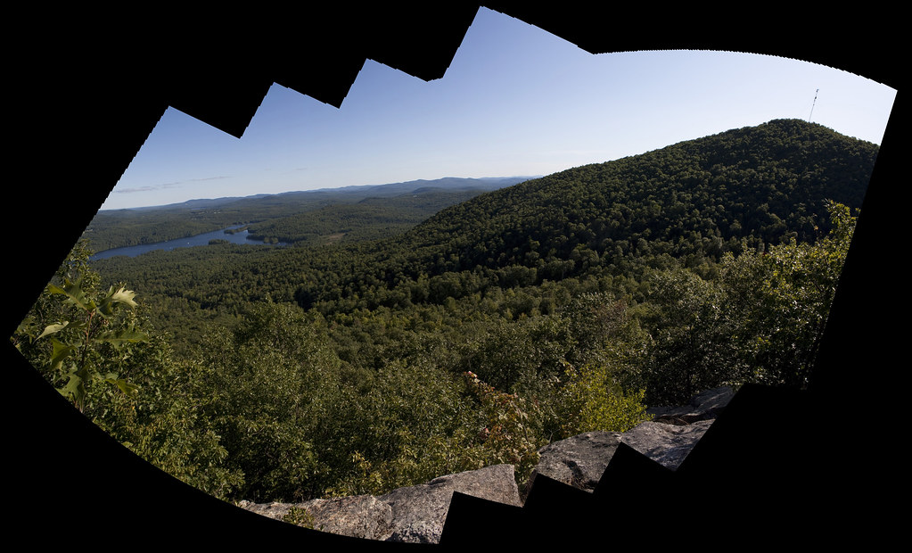
North Trail is a short, out-and-back hike in Maine, about half a mile from the town of Hiram. The route is roughly 1.1 miles long, with a total elevation gain of about 660 feet, and it reaches a high point of 1,023 feet. The climb is front-loaded, with the steepest stretch at about 0.45 miles in, where the grade reaches 31 percent. The trail is rated easy, and the round trip takes about half an hour. Summer is the most comfortable time to go. Typical averages from a nearby weather station in East Hiram show July highs around 79°F with lows near 56°F, while winter highs stay in the 20s and 30s. Several other trails sit close by. White Flag Trail is about 0.2 miles away, Northwest Trail about 0.3 miles, and Ridge Walk about 0.4 miles. Saco Ridge Trail is roughly 0.8 miles off.
Granger Pond Camping Area
Campground
Places © OpenStreetMap contributors
More in North Conway Narrow Gauge TrailHikingPhoto: jschauma, CC BY 2.0 (via Flickr)3.1 mi
 Burnt Meadow MountainHikingPhoto: InAweofGod'sCreation, CC BY 2.0 (via Wikimedia Commons)4.3 mi
Source: Roamze catalog (indexable pages within 10 miles, PostGIS distance)
Narrow Gauge TrailHiking · ~5 min drivePhoto: jschauma, CC BY 2.0 (via Flickr)Burnt Meadow MountainHiking · ~7 min drivePhoto: InAweofGod'sCreation, CC BY 2.0 (via Wikimedia Commons)Narrow Gauge TrailHiking · ~6 min drivePhoto: jschauma, CC BY 2.0 (via Flickr)Twin Brook TrailHiking · ~9 min drivePhoto: InAweofGod'sCreation, CC BY 2.0 (via Wikimedia Commons)Stone Mountain TrailHiking · ~9 min drivePhoto: InAweofGod'sCreation, CC BY 2.0 (via Wikimedia Commons) Ledges TrailHiking · ~17 min drivePhoto: ImNotQuiteJack, CC BY-SA 2.0 (via Flickr)
 Loop TrailHiking · ~12 min drivePhoto: ondraposp, CC BY-SA 2.0 (via Flickr)
 Bald Peak TrailHiking · ~17 min drivePhoto: ImNotQuiteJack, CC BY-SA 2.0 (via Flickr)Jarrett trails north loopHiking · ~13 min drivePhoto: ondraposp, CC BY-SA 2.0 (via Flickr)
Best months: August–October. Best months have typical highs of 55–85 °F, lows of 30 °F or warmer (32 °F where the station doesn't record snow), at most one snowy day and no more than 12 wet days.
Jan
29° / 6°
10 wet
Feb
32° / 7°
9 wet
Mar
40° / 18°
10 wet
Apr
54° / 30°
11 wet
May
66° / 41°
13 wet
Jun
74° / 51°
14 wet
Jul
79° / 56°
13 wet
Aug
78° / 54°
12 wet
Sep
70° / 46°
11 wet
Oct
57° / 35°
12 wet
Nov
45° / 26°
12 wet
Dec
34° / 15°
12 wet
Typical high / low (°F) and days with rain or snow, 1991–2020. Measured at East Hiram, ME, 2.9 mi away at 528 ft. This station doesn't record snowfall. Source: NOAA NCEI U.S. Climate Normals 1991–2020.
Map and trail data © OpenStreetMap contributors
