Mary Grant Nature Preserve Trail
- 0.5 mi
- loop
- 55 ft
- climb
- 792 ft
- high point
- Loop
- route
- May–Oct
- best months
Clear today
Weather is good · OpenWeather · checked 9 h ago
Mary Grant Nature Preserve Trail is a short, easy loop hike in southern Maine, about half a mile long and sitting at roughly 760 feet. It starts and ends in the preserve itself, about 0.2 miles from the town of Acton. The trail is a flat loop, with a high point of about 792 feet and a total climb of 55 feet. The steepest stretch comes at about 0.3 miles in, with a grade of about 4%. Summer is the most comfortable time to go. Typical averages from a nearby weather station in Sanford show July highs around 81°F and lows near 56°F, while September cools to highs around 73°F. That station sits about 500 feet lower than the trail, so temperatures on the preserve run a little cooler. Goat Hill Trail is about 2 miles away, and Goose Pond Overlook Trail is about 3 miles off. Paddlers can head to the Salmon Falls River, about 3.6 miles away, or the Little Ossipee River, about 4.7 miles away.
- Goat Hill TrailHiking2.1 mi
- Goose Pond Overlook TrailHiking3 mi
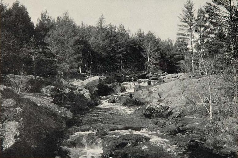 Salmon Falls RiverCanoeingPhoto: Unknown photographer, Public domain (via Wikimedia Commons)3.6 mi
- Hansen Pond TrailHiking4 mi
 Little Ossipee RiverCanoeingPhoto: Unknown photographer, Public domain (via Wikimedia Commons)4.7 mi
- Breakneck Hill TrailHiking6.1 mi
- Mousam RiverCanoeing6.4 mi
- Middle Branch Mousam RiverCanoeing7.5 mi
Source: Roamze catalog (indexable pages within 10 miles, PostGIS distance)
- Goat Hill TrailHiking · ~4 min drive
- Sanford-Springvale Rail TrailHiking · ~11 min drive
- Goose Pond Overlook TrailHiking · ~5 min drive
- North TrailHiking · ~13 min drive
- Hansen Pond TrailHiking · ~7 min drive
- Phoebe's Nable TrailHiking · ~14 min drive
- Shapleigh TrailHiking · ~9 min drive
- Sanford & Eastern Rail TrailHiking · ~15 min drive
- Breakneck Hill TrailHiking · ~10 min drive
- Benjamin E. Baldwin Memorial TrailHiking · ~22 min drive
Best time to visit Mary Grant Nature Preserve Trail
Best months: May–October. Best months have typical highs of 55–85 °F, lows of 30 °F or warmer (32 °F where the station doesn't record snow), at most one snowy day and no more than 12 wet days.
Jan
32° / 10°
10 wet
Feb
35° / 11°
8 wet
Mar
44° / 20°
10 wet
Apr
57° / 30°
10 wet
May
68° / 41°
11 wet
Jun
76° / 51°
11 wet
Jul
81° / 56°
11 wet
Aug
80° / 55°
9 wet
Sep
73° / 47°
9 wet
Oct
61° / 36°
10 wet
Nov
48° / 27°
10 wet
Dec
37° / 17°
11 wet
Typical high / low (°F) and days with rain or snow, 1991–2020. Measured at Sanford 2 Nnw, ME, 8.2 mi away at 289 ft. The station sits about 500 ft lower than this place, so expect it a little cooler here. This station doesn't record snowfall. Source: NOAA NCEI U.S. Climate Normals 1991–2020.
Map and trail data © OpenStreetMap contributors
