Lakeside Pines Campground
Campground
Campground · 3.2 mi from the trail
Lake Trail is a short, easy out-and-back hike in Maine's Highland Research Forest, a land unit managed by a non-governmental organization. The route starts and ends at about 607 feet, with a high point of 607 feet and a low point of 420 feet along the way. The total gain and loss each add up to about 197 feet, and the steepest stretch comes at roughly 0.78 miles into the hike, with a grade of about 9 percent. Summer is the most comfortable time to go. Typical averages from a nearby weather station run from highs around 73°F in June to about 78°F in July, while winter highs stay in the 20s and 30s. The hike takes about half an hour, so it works well as a quick outing. Carsley Brook Trail lies about 0.4 miles away and Gibbon's Trail about 0.7 miles away, with Boulder Field and Hannibal Trail a little farther out.
Lakeside Pines Campground
Campground
Union Station Billiards
Bar
Places © OpenStreetMap contributors, Places © Overture Maps Foundation
More in North Conway Pinehaven TrailHikingPhoto: Klieg, Public Domain Mark (via Flickr)5 mi
 North Ridge TrailHikingPhoto: AlisonChaiken, CC BY-SA 2.0 (via Flickr)5.7 mi
Source: Roamze catalog (indexable pages within 10 miles, PostGIS distance)
 Willett Brook TrailHiking · ~8 min drivePhoto: Klieg, Public Domain Mark (via Flickr)
 Ledges TrailHiking · ~12 min drivePhoto: ImNotQuiteJack, CC BY-SA 2.0 (via Flickr)Pinehaven TrailHiking · ~9 min drivePhoto: Klieg, Public Domain Mark (via Flickr)
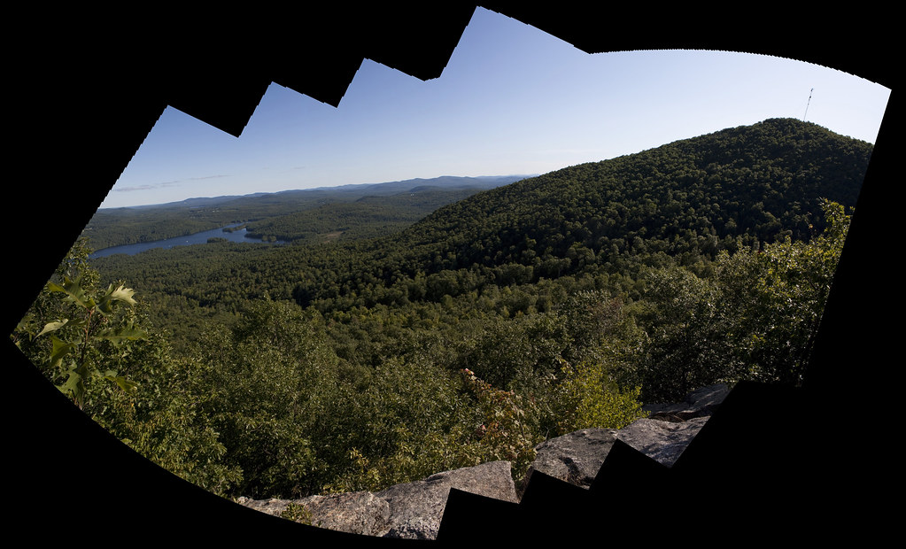 Bald Peak TrailHiking · ~12 min drivePhoto: ImNotQuiteJack, CC BY-SA 2.0 (via Flickr)North Ridge TrailHiking · ~10 min drivePhoto: AlisonChaiken, CC BY-SA 2.0 (via Flickr)Fire Warden's TrailHiking · ~12 min drivePhoto: ImNotQuiteJack, CC BY-SA 2.0 (via Flickr)
 Mount Sabattus TrailHiking · ~13 min drivePhoto: Magicpiano, CC BY-SA 3.0 (via Wikimedia Commons)
Best months: May–October. Best months have typical highs of 55–85 °F, lows of 30 °F or warmer (32 °F where the station doesn't record snow), at most one snowy day and no more than 12 wet days.
Jan
28° / 7°
9 wet
Feb
31° / 8°
8 wet
Mar
40° / 19°
9 wet
Apr
54° / 30°
9 wet
May
66° / 42°
11 wet
Jun
73° / 52°
12 wet
Jul
78° / 57°
12 wet
Aug
76° / 56°
10 wet
Sep
69° / 48°
9 wet
Oct
57° / 37°
10 wet
Nov
45° / 27°
10 wet
Dec
34° / 16°
10 wet
Typical high / low (°F) and days with rain or snow, 1991–2020. Measured at Bridgton 3 Nw, ME, 2.8 mi away at 508 ft. This station doesn't record snowfall. Source: NOAA NCEI U.S. Climate Normals 1991–2020.
Map and trail data © OpenStreetMap contributors
