Coyote Trail
- 0.4 mi
- loop
- 18 ft
- climb
- 88 ft
- high point
- Loop
- route
- Aug–Oct
- best months
Coyote Trail is a short, easy hike in Pratt's Brooke Park, a city-managed park in Maine. The trail is about 0.4 miles long, with a total elevation gain of 18 feet, and it starts and ends within a few feet of each other, making it a quick outing for anyone passing through the park. The route is nearly flat, with the steepest stretch coming at about 0.18 miles in, where the grade reaches 2 percent. The trail's low point is 68 feet and its high point is 88 feet, so the climb is minimal. Summer is the most comfortable time to go. Typical averages from a nearby weather station in Gray, Maine, show July highs around 79°F with lows near 60°F, while winter brings frequent snow days and highs in the 30s. Several other trails sit close by. Short Loop is about 0.7 miles away, and Chipmunk Trail and Bear Trail are each about 0.8 miles off. For climbing, the c. Greater Portland area is roughly 1.4 miles away.
- Short LoopHiking0.7 mi
 Chipmunk TrailHikingPhoto: Dudesleeper / Talk, CC BY-SA 3.0 (via Wikimedia Commons)0.8 mi
- Bear TrailHiking0.8 mi
- c. Greater PortlandRock climbing1.4 mi
- Prickly Pear Boulder ( originally "Upper Sector")Rock climbing3.6 mi
- Grand Slab (Home Base)Rock climbing3.6 mi
- Chandler BrookCanoeing4 mi
- Royal River Water TrailCanoeing6.6 mi
Source: Roamze catalog (indexable pages within 10 miles, PostGIS distance)
- Chipmunk TrailHiking · ~1 min drivePhoto: Dudesleeper / Talk, CC BY-SA 3.0 (via Wikimedia Commons)
- Walsh Preserve TrailsHiking · ~3 min drivePhoto: Dudesleeper / Talk, CC BY-SA 3.0 (via Wikimedia Commons)
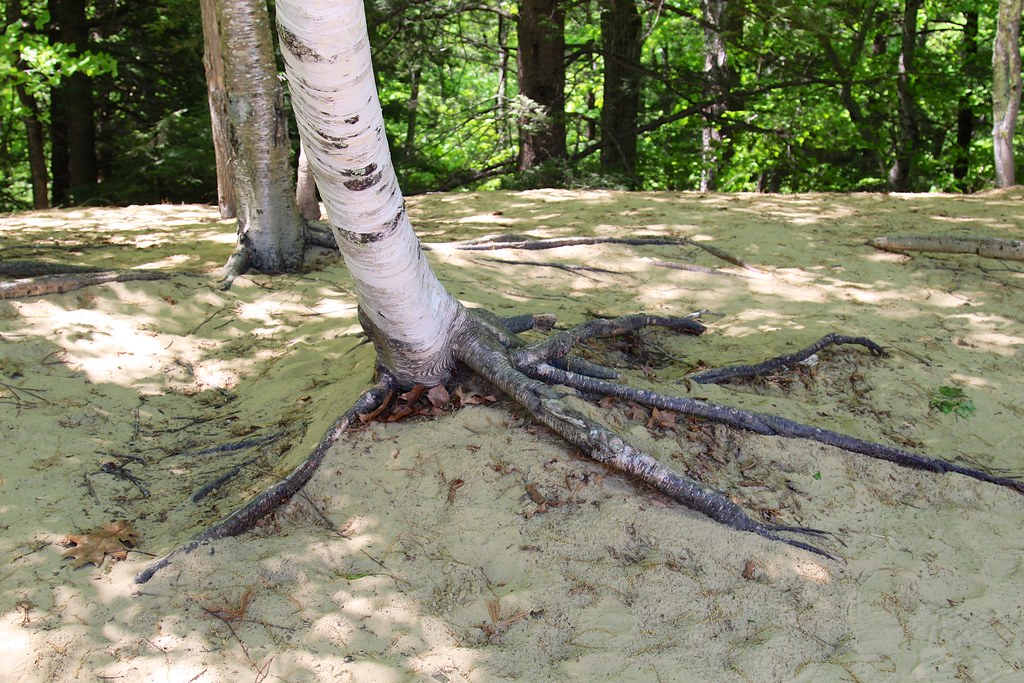 Harvey Brook TrailHiking · ~3 min drivePhoto: daveynin, CC BY 2.0 (via Flickr)
- Cousins River TrailHiking · ~3 min drivePhoto: Dudesleeper / Talk, CC BY-SA 3.0 (via Wikimedia Commons)
 Arnold Family Forest TrailHiking · ~5 min drivePhoto: Paul VanDerWerf from Brunswick, Maine, USA, CC BY 2.0 (via Wikimedia Commons)
 Eleanor Hayes Forest trailHiking · ~6 min drivePhoto: rachellyn.rumson, CC BY 2.0 (via Flickr)
- Sam Ristich TrailHiking · ~6 min drivePhoto: rachellyn.rumson, CC BY 2.0 (via Flickr)
- Nature TrailHiking · ~6 min drivePhoto: Paul VanDerWerf from Brunswick, Maine, USA, CC BY 2.0 (via Wikimedia Commons)
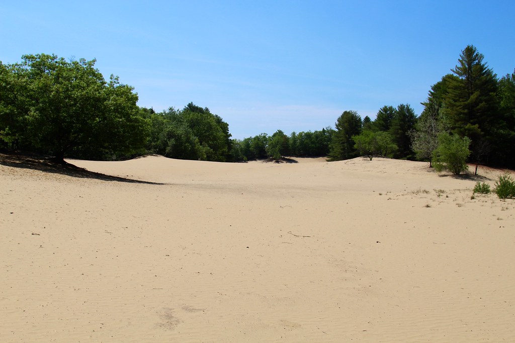 Keith LoopHiking · ~6 min drivePhoto: daveynin, CC BY 2.0 (via Flickr)
 White TrailHiking · ~7 min drivePhoto: Jack.Flanagan, Public Domain Dedication (CC0) (via Flickr)
Best time to visit Coyote Trail
Best months: August–October. Best months have typical highs of 55–85 °F, lows of 30 °F or warmer (32 °F where the station doesn't record snow), at most one snowy day and no more than 12 wet days.
Jan
30° / 14°
11 wet · 9 snow
Feb
33° / 16°
10 wet · 8 snow
Mar
41° / 25°
11 wet · 6 snow
Apr
53° / 34°
12 wet · 2 snow
May
64° / 44°
13 wet
Jun
73° / 54°
13 wet
Jul
79° / 60°
13 wet
Aug
78° / 59°
11 wet
Sep
70° / 52°
10 wet
Oct
58° / 41°
11 wet
Nov
46° / 31°
11 wet · 3 snow
Dec
35° / 21°
12 wet · 7 snow
Typical high / low (°F) and days with rain or snow, 1991–2020. Measured at Gray, ME, 6 mi away at 378 ft. Source: NOAA NCEI U.S. Climate Normals 1991–2020.
Map and trail data © OpenStreetMap contributors
