Cousins River Trail
 Photo: Dudesleeper / Talk, CC BY-SA 3.0 (via Wikimedia Commons)
- 0.8 mi
- round trip
- 476 ft
- climb
- 152 ft
- high point
- Out and back
- route
- Aug–Oct
- best months
Cousins River Trail is an easy hike of about a mile and a half, set in Maine about a mile from the village of Sodom. It's an out-and-back with a gentle climb of 129 feet, reaching a high point of 152 feet. The trail is short enough to fit into a quick outing, and the low point sits at just 6 feet, so the route stays close to the same level for most of the way. The most comfortable months are late spring through early fall. Typical averages from a nearby weather station in Gray, Maine, run from highs around 64°F in May to about 79°F in July, with July also the warmest month at about 70°F for lows. Winters are cold and snowy, with January highs near 30°F. The trail makes an easy pairing with other short walks in the area. Powell Point Trail is less than a mile away, Arnold Family Forest Trail and Walsh Preserve Trails are each about 0.9 miles off, and the Grand Slab climbing area is roughly 1.8 miles away.
- Powell Point TrailHiking0.7 mi
 Arnold Family Forest TrailHikingPhoto: Paul VanDerWerf from Brunswick, Maine, USA, CC BY 2.0 (via Wikimedia Commons)0.9 mi
- Walsh Preserve TrailsHikingPhoto: Dudesleeper / Talk, CC BY-SA 3.0 (via Wikimedia Commons)0.9 mi
- Prickly Pear Boulder ( originally "Upper Sector")Rock climbing1.8 mi
- Grand Slab (Home Base)Rock climbing1.8 mi
- Grand Slab Area (aka "Home Base")Rock climbing1.8 mi
- Chandler BrookCanoeing5.5 mi
- Royal River Water TrailCanoeing8.3 mi
Source: Roamze catalog (indexable pages within 10 miles, PostGIS distance)
- Arnold Family Forest TrailHiking · ~2 min drivePhoto: Paul VanDerWerf from Brunswick, Maine, USA, CC BY 2.0 (via Wikimedia Commons)
- Walsh Preserve TrailsHiking · ~2 min drivePhoto: Dudesleeper / Talk, CC BY-SA 3.0 (via Wikimedia Commons)
- Chipmunk TrailHiking · ~3 min drivePhoto: Dudesleeper / Talk, CC BY-SA 3.0 (via Wikimedia Commons)
- Nature TrailHiking · ~3 min drivePhoto: Paul VanDerWerf from Brunswick, Maine, USA, CC BY 2.0 (via Wikimedia Commons)
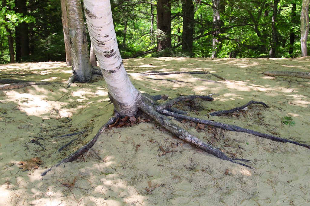 Harvey Brook TrailHiking · ~3 min drivePhoto: daveynin, CC BY 2.0 (via Flickr)
 Power Line TrailHiking · ~5 min drivePhoto: computationalmystic, CC BY 2.0 (via Flickr)
 Old Woods Road TrailHiking · ~5 min drivePhoto: computationalmystic, CC BY 2.0 (via Flickr)
- Harraseeket TrailHiking · ~5 min drivePhoto: computationalmystic, CC BY 2.0 (via Flickr)
- White Pines TrailHiking · ~5 min drivePhoto: computationalmystic, CC BY 2.0 (via Flickr)
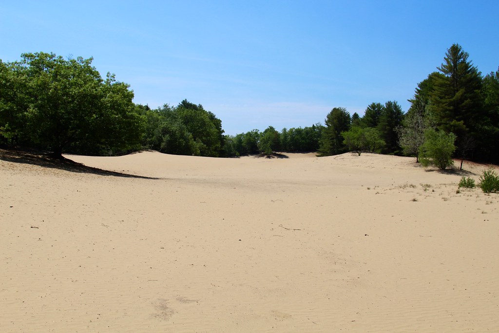 Keith LoopHiking · ~6 min drivePhoto: daveynin, CC BY 2.0 (via Flickr)
Best time to visit Cousins River Trail
Best months: August–October. Best months have typical highs of 55–85 °F, lows of 30 °F or warmer (32 °F where the station doesn't record snow), at most one snowy day and no more than 12 wet days.
Jan
30° / 14°
11 wet · 9 snow
Feb
33° / 16°
10 wet · 8 snow
Mar
41° / 25°
11 wet · 6 snow
Apr
53° / 34°
12 wet · 2 snow
May
64° / 44°
13 wet
Jun
73° / 54°
13 wet
Jul
79° / 60°
13 wet
Aug
78° / 59°
11 wet
Sep
70° / 52°
10 wet
Oct
58° / 41°
11 wet
Nov
46° / 31°
11 wet · 3 snow
Dec
35° / 21°
12 wet · 7 snow
Typical high / low (°F) and days with rain or snow, 1991–2020. Measured at Gray, ME, 7.7 mi away at 378 ft. Source: NOAA NCEI U.S. Climate Normals 1991–2020.
Map and trail data © OpenStreetMap contributors
