Blue Trail
- 0.4 mi
- round trip
- 474 ft
- climb
- 1,681 ft
- high point
- Out and back
- route
- Sep
- best months
Blue Trail is a short out-and-back hike in Maine covering 0.74 miles with 474 feet of elevation gain. The trail reaches a maximum elevation of 1,681 feet.
Local outfitters
- Northeast Whitewater11 mi away
Not on Roamze yet. Their page has how to reach them.
- Nearby · Rowell Cove Trail · Big Moose Mountain Trail · Little Moose Mountain Trail
Best time to go · Sep
Best time to visit Blue Trail
Best months: September. Best months have typical highs of 55–85 °F, lows of 30 °F or warmer (32 °F where the station doesn't record snow), at most one snowy day and no more than 12 wet days.
Jan
23° / 5°
13 wet
Feb
25° / 7°
12 wet
Mar
34° / 17°
13 wet
Apr
46° / 29°
13 wet
May
62° / 41°
14 wet
Jun
70° / 51°
14 wet
Jul
75° / 57°
15 wet
Aug
74° / 56°
13 wet
Sep
66° / 48°
11 wet
Oct
52° / 37°
13 wet
Nov
39° / 26°
14 wet
Dec
28° / 15°
16 wet
Typical high / low (°F) and days with rain or snow, 1991–2020. Measured at Greenville Maine Forestry Svc, ME, 4.7 mi away at 1,037 ft. The station sits about 600 ft lower than this place, so expect it a little cooler here. This station doesn't record snowfall. Source: NOAA NCEI U.S. Climate Normals 1991–2020.
Keep exploring — more trails worth the drive
 Photo: cloud2013, CC BY 2.0 (via Wikimedia Commons)
Rowell Cove Trail
~6 min drive
0.78-mile out-and-back trail in Maine with 151 ft elevation gain.
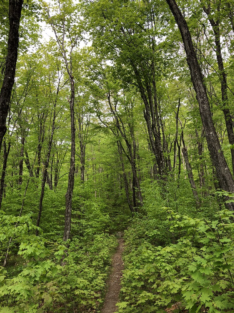 Photo: zappowbang, CC BY-SA 2.0 (via Flickr)
Big Moose Mountain Trail
~10 min drive
2.00-mile out-and-back hike in Maine with 1875 ft elevation gain.
HIKE
Little Moose Mountain Trail
~14 min drive
Moderate 6-mile out-and-back climb to scenic summit views in Maine.
Photo: cloud2013, CC BY 2.0 (via Wikimedia Commons)Dunn Point Trail
~6 min drive
0.73-mile out-and-back trail in Maine with 172 ft elevation gain.
HIKE
Eagle Rock Trail
~13 min drive
6.52-mile out-and-back hike in Maine with 2,315 ft gain/loss
HIKE
Indian Mountain Circuit
~17 min drive
Out-and-back Maine summit hike with forest views and moderate elevation gain.
HIKE
Green Trail
Next door
1.18-mile out-and-back hike in Maine with 574 ft elevation gain and loss.
HIKE
Pearl Ponds Trail
~17 min drive
Easy out-and-back woodland walk to Maine ponds.
HIKE
Appalachian Trail
~20 min drive
7.28-mile out-and-back on the Appalachian Trail in Maine with 2,690 ft gain/loss.
HIKE
Red Trail
Next door
1.04-mile out-and-back trail in Maine with 431 ft elevation gain.
Route details
- Distance
- 0.4 mi round trip
- Climbing
- About 474 ft
- Summit
- 1,688 ft
- Difficulty
- Easy
- Time
- About 0 hours
Other routes up Burnt Jacket Mountain
Questions about this route
How long is the Blue Trail on Burnt Jacket Mountain?
About 0.4 mi round trip.
How much elevation gain is on the Blue Trail?
About 474 ft of climbing round trip.
How hard is the Blue Trail?
It is rated easy.
How long does the Blue Trail take?
About 0 hours round trip.
How many routes go up Burnt Jacket Mountain?
3: Blue Trail, Red Trail and Green Trail.
Conditions and forecast on Burnt Jacket Mountain
Daily highs and lows, wind and the chance of precipitation at the summit and route start for the next 7 days, from the Open-Meteo model.
Map and trail data © OpenStreetMap contributors
