Loading…

Free — you'll pick up right here.
Watch this trail
Sign up to watch it — saving subscribes you to gate, closure and report changes.
Maine
0.6 mi
Distance
746 ft
Gain
26 min
Time
We won't guess. Here is exactly what we do and don't know.
What we do know
Inside Acadia National Park
National Park unit boundary is mapped — agency alerts for it feed this page automatically.
Boundary data
What's missing
No access route mapped
We don't yet know which road reaches this trailhead, so we can't tell you if it's gated.
Nobody's filed a report here yet — be the first.
Why you'll love it
Beehive Overlook
AI-suggested draft · review before you go
No permit or access details on file for this trail — check with the local land manager before you go.
<p>The Beehive and many of Acadia’s other mountains are examples of a geologic feature called a “roche mountonée.” Roches mountonée always have this distinct shape: a gradual slope leading up to a steep drop-off. This shape was created by glaciers, which covered Acadia from 35,000 to 16,000 years ago.<br /> <br /> As they made their way over mountains like the Beehive, glaciers had to fight against gravity as the mountain pushed them up toward the sky. This created a lot of pressure on the surface of the mountain. Not only were the glaciers working against the force of gravity, but the glaciers here were over a mile thick! That ice adds up to a lot of weight. The pressure from the combined weight of the ice and the gravity pulling it downwards meant that the glacier smoothed the surface of the mountains it traveled over, much like sandpaper. When we look at the Beehive and see the gentle slope leading up to its summit, we are looking at the path that the glaciers created as they passed over the mountain.<br /> <br /> But if glaciers have smoothed one side to a gentle slope, why does the other side look so steep? After the glacier reached the summit, there was a large release in the pressure that we previously talked about. Now, gravity was helping to pull that heavy ice back down the mountain. As the ice moved back down the mountain, changes in pressure meant that some of the ice at the base of the glacier melted – and that water seeped into cracks of the mountain’s surface. Eventually, that water would refreeze, breaking chunks of rock loose from the mountain as it expanded into ice. The glacier continued “plucking” rocks from the surface, making a steeper slope each time. This process happened over and over again as the glacier continued sliding over the mountain; eventually, it created the famously steep path up the Beehive that Acadia visitors know today.</p>
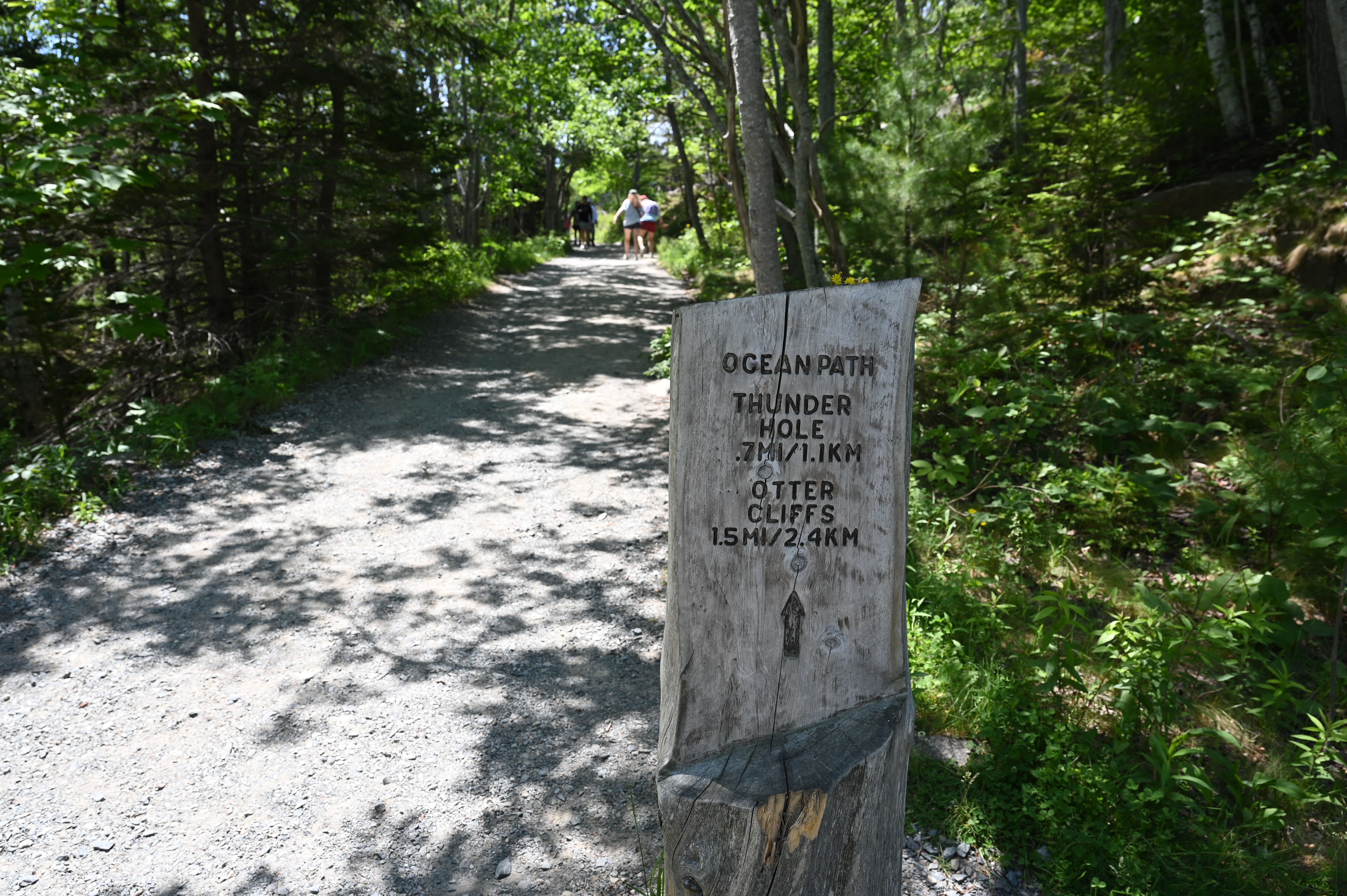
Ocean Path Accessibility Information
~1 min drive
<p>Explore vast slabs of pink granite, picturesque cliffs, and breathtaking oceans views as the Ocean Path takes you along the bold coast of Maine. The Ocean Path is a great way to access Thunder Hole and Otter Point from Sand Beach on a gradual hike. </p> <h3>Getting to Ocean…
Beehive Trail
~1 min drive
Steep point-to-point scramble with iron rungs and coastal views.
Bowl Trail
~1 min drive
Quick point-to-point trail perfect for a short Maine hike.
Murphy Lane
~2 min drive
A short point-to-point woodland walk in Maine.
Precipice Trail
~3 min drive
Steep cliff-side scramble with dramatic views and iron rungs.
Ladder Trail
~3 min drive
Quick point-to-point Maine hike with scenic terrain.
Champlain North Ridge Trail
~3 min drive
Scenic point-to-point ridge hike near Champlain, Maine.
Champlain South Ridge Trail
~3 min drive
Short point-to-point ridge walk with scenic views in Maine.
Wild Gardens Path
~5 min drive
Easy 0.32-mile out-and-back garden walk in Maine.
Cadillac West Face Trail
~6 min drive
Steep point-to-point trail up Cadillac Mountain's west face in Maine.
