Bear Creek Loop Trail
- 1.9 mi
- loop
- 232 ft
- climb
- 97 ft
- high point
- Loop
- route
- May–Oct
- best months
Bear Creek Loop Trail is an easy, short walk in southern Maine, about 2.3 miles from the town of Jonesboro. The route is roughly 1.9 miles long, with a total elevation gain of 232 feet. Its highest point is 97 feet above the starting elevation of 61 feet, and the trail gains about 232 feet and loses about 210 feet over the course of the loop. Summer is the most comfortable time to go. July and August typically reach highs around 76°F with lows in the mid-50s, based on averages from a nearby weather station in Jonesboro. That station sits about the same elevation as the trail, so its figures are a fair guide for conditions on the route. The trail can be done in about half an hour. Honey Pot Trail is the closest nearby option, under a mile away. Pond Cove Trail and Houghton's Hill Trail are both about 3 miles off, and Money Island Trail is roughly 4.7 miles away.
Local outfitters
- Atlantic Climbing School38 mi away
Not on Roamze yet. Their page has how to reach them.
- Honey Pot TrailHiking0.7 mi
 Pond Cove TrailHikingPhoto: nightthree, CC BY 2.0 (via Flickr)3 mi
- Houghton's Hill TrailHikingPhoto: nightthree, CC BY 2.0 (via Flickr)3.1 mi
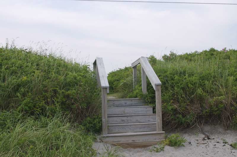 Mihill TrailHikingPhoto: nightthree, CC BY 2.0 (via Flickr)3.3 mi
- Starr TrailHikingPhoto: nightthree, CC BY 2.0 (via Flickr)3.5 mi
- Homestead TrailHiking4.7 mi
- Money Island TrailHiking4.7 mi
- Munson Pitch TrailHiking4.8 mi
Source: Roamze catalog (indexable pages within 10 miles, PostGIS distance)
- Pond Cove TrailHiking · ~5 min drivePhoto: nightthree, CC BY 2.0 (via Flickr)
 Black Point Brook Cutoff TrailHiking · ~32 min drivePhoto: zappowbang, CC BY-SA 2.0 (via Flickr)
- Houghton's Hill TrailHiking · ~5 min drivePhoto: nightthree, CC BY 2.0 (via Flickr)
- Cutter Loop TrailHiking · ~32 min drivePhoto: zappowbang, CC BY-SA 2.0 (via Flickr)
- Mihill TrailHiking · ~6 min drivePhoto: nightthree, CC BY 2.0 (via Flickr)
- Heritage TrailHiking · ~8 min drive
- Starr TrailHiking · ~6 min drivePhoto: nightthree, CC BY 2.0 (via Flickr)
- Blue TrailHiking · ~10 min drive
 Long Point TrailHiking · ~14 min drivePhoto: Magicpiano, CC BY-SA 3.0 (via Wikimedia Commons)
 South TrailHiking · ~36 min drivePhoto: Roban Kramer, CC BY-SA 2.0 (via Wikimedia Commons)
Best time to visit Bear Creek Loop Trail
Best months: May–October. Best months have typical highs of 55–85 °F, lows of 30 °F or warmer (32 °F where the station doesn't record snow), at most one snowy day and no more than 12 wet days.
Jan
29° / 9°
10 wet
Feb
32° / 12°
9 wet
Mar
39° / 22°
11 wet
Apr
51° / 32°
10 wet
May
61° / 42°
11 wet
Jun
70° / 51°
11 wet
Jul
76° / 56°
10 wet
Aug
76° / 55°
8 wet
Sep
69° / 48°
8 wet
Oct
57° / 39°
9 wet
Nov
46° / 30°
9 wet
Dec
35° / 19°
11 wet
Typical high / low (°F) and days with rain or snow, 1991–2020. Measured at Jonesboro, ME, 6.1 mi away at 194 ft. This station doesn't record snowfall. Source: NOAA NCEI U.S. Climate Normals 1991–2020.
Map and trail data © OpenStreetMap contributors
